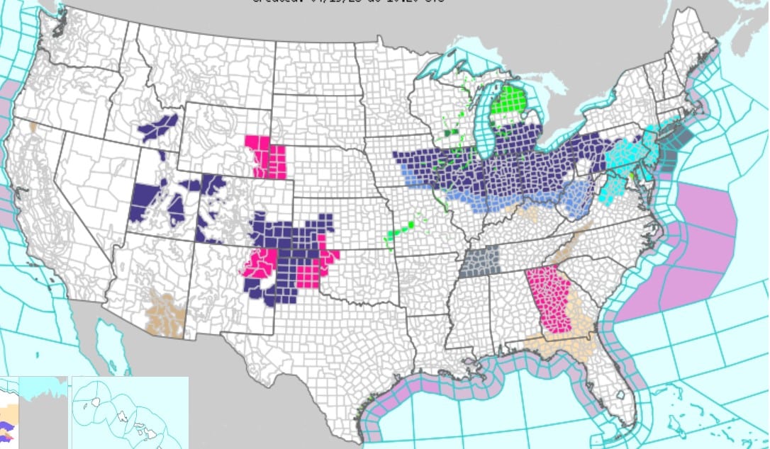
A sharp weather shift is set to hit parts of the United States, with a winter storm watch issued and temperatures expected to drop dramatically within days. Several regions are preparing for snowfall, freezing conditions, and difficult travel.
Midwest and Northeast Storm Brings Sudden Temperature Drop
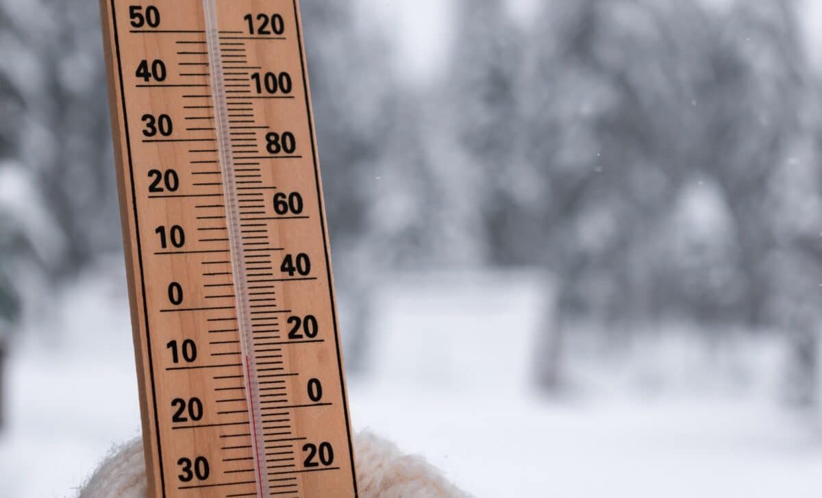
The Midwest and Northeast are bracing for a rapid drop in temperatures, with highs expected to fall by 20 to 40°F in just one to two days. Areas currently experiencing temperatures in the 70s, 80s, and even 90s will see readings fall to the 30s, 40s, and 50s.
According to the National Weather Service, this abrupt change could bring mixed precipitation, with rain briefly turning into snow in parts of northern New York and northwestern New England. The shift is linked to a weather system moving from the Northern Plains toward the Great Lakes and the Northeast over the weekend.
Snowfall Expected Across Multiple Regions
The advancing system is expected to bring late-season snowfall to several areas, including the Upper Midwest and parts of the Rockies. Snowfall is forecast to develop from Friday night into Sunday, with varying intensity depending on location.
While accumulations in these regions may remain limited, the timing of the storm during spring increases the risk of hazardous road conditions, particularly as temperatures fluctuate.
Alaska Braces for Up to 3 Feet of Snow
In Alaska, conditions are expected to be more severe, with forecasts indicating up to 36 inches of snow in some areas. The National Weather Service has issued warnings for regions including the Eastern Alaska Range and parts of the Richardson Highway.
Heavy snowfall combined with wind gusts up to 35 mph could significantly reduce visibility, at times dropping below one mile. Authorities warn that travel may become very difficult, especially as snow melts during the day and refreezes overnight, creating icy surfaces.
Travel Risks and Safety Concerns
The combination of wet snow, rapid temperature changes, and refreezing conditions increases the risk for drivers. Roads may become slippery, and visibility could be reduced during periods of strong wind.
Officials are urging residents in affected areas to monitor weather updates and plan travel carefully as conditions evolve over the weekend and into early next week.
What This Means in the Coming Days
This late-season winter event highlights the continued volatility of weather patterns during the spring period. With sudden cold snaps and snowfall returning in several regions, both authorities and residents are preparing for short-term disruption.
As the system moves across the country, its effects will vary by region, but the overall message remains consistent: rapid changes in weather conditions could bring temporary challenges for transport and daily activities.