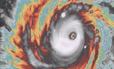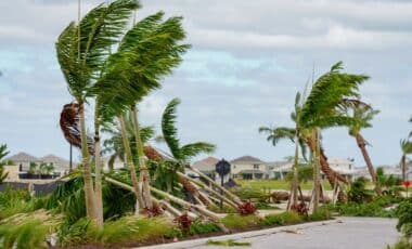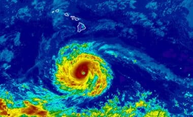
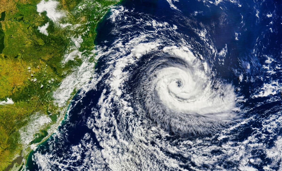
The system remained relatively slow-moving early Tuesday, increasing the risk that rainfall could accumulate over already vulnerable areas. While Bertha was not expected to rapidly intensify, forecasters said its combination of tropical moisture, coastal conditions and strong winds could still create dangerous weather across parts of the Southeast.
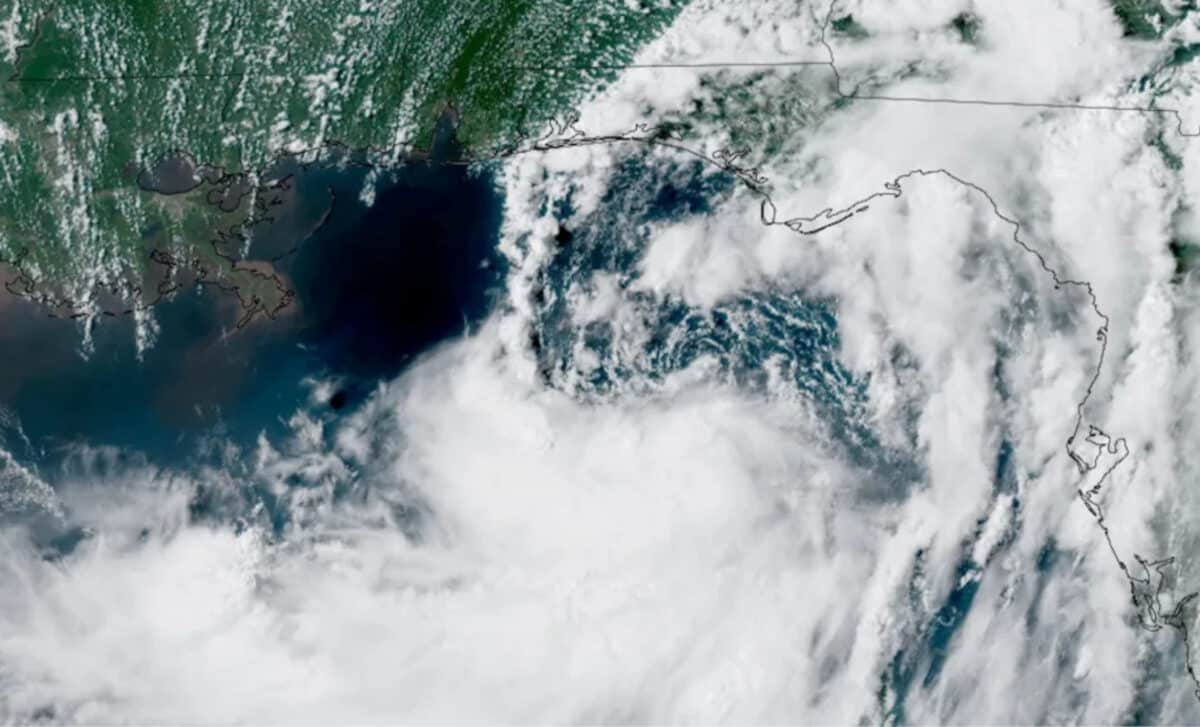
According to the National Hurricane Center (NHC), Bertha was located about 100 miles south-southwest of Panama City, Florida, and around 175 miles southeast of Mobile, Alabama. The storm had maximum sustained winds of 50 mph and was moving northwest at only 5 mph.
Bertha’s Forecast Path Includes Florida, Alabama, Mississippi And Louisiana
According to The Sun, Tropical Storm Bertha’s projected track places several Gulf Coast states in the storm’s potential impact zone. Florida, Alabama, Mississippi, Louisiana and parts of coastal Texas could all experience effects as the system moves westward along the Gulf Coast.
The slow pace of the storm has become a key factor in the forecast. Even without major strengthening, a tropical system moving slowly can produce prolonged periods of rain and keep coastal areas under threat for a longer time.
Forecasters expected Bertha to pass near the Florida Panhandle before moving toward Alabama and Louisiana. The storm could strengthen slightly during Tuesday, but conditions including dry air and strong wind shear were expected to limit its development as it approached land.
Officials are continuing to monitor the storm because small changes in its track could affect where the heaviest rain and strongest winds occur.
Coastal Areas Face Storm Surge And Flooding Concerns
The greatest coastal concern is storm surge, particularly along areas between the Mississippi River delta and the Florida-Alabama border. The National Hurricane Center warned that a “life-threatening storm surge is possible” along parts of Alabama, Mississippi and southeast Louisiana.
Some locations could see water levels rise between two and four feet above ground if peak surge occurs around high tide. Other coastal areas, including parts of Florida and regions around Lake Pontchartrain and Lake Maurepas, could experience lower but still disruptive water increases.
A tropical storm warning was issued from the Florida-Alabama border to Jefferson and Plaquemines parishes in Louisiana. Additional watches covered sections of the Florida Panhandle, southern Louisiana and the New Orleans area.
Emergency officials urged residents in flood-prone communities to prepare ahead of the worst conditions rather than waiting until heavy rain arrives.
Heavy Rain Could Trigger Flash Flooding Across The Southeast
Rainfall is expected to be one of Bertha’s biggest impacts. Forecasts call for widespread totals of two to four inches, with isolated locations possibly receiving around six inches through Thursday.
The heaviest rain could spread across western Florida, southern Alabama, Mississippi and Louisiana. Urban areas with poor drainage could face a higher risk of flash flooding, especially if intense downpours occur over short periods.
The storm’s broad circulation means rainfall impacts could extend far from the center of the system. Even areas that avoid the strongest winds may still experience dangerous flooding conditions.
Residents along the Gulf Coast are being advised to monitor local forecasts as the storm progresses and to avoid driving through flooded roads.
Heat Risk Remains High Despite Tropical Storm Conditions
While Bertha is bringing clouds and rain to parts of the Gulf Coast, it will not provide widespread relief from the region’s ongoing summer heat.
The National Weather Service warned that southeast Louisiana could face major to extreme heat risk during Tuesday and Wednesday. Forecasters noted that Bertha’s uneven structure means many areas may miss out on significant cooling rainfall or extended cloud cover.
“Don’t sleep on the heat, though! Heat Risk categories will Major to Extreme both today and tomorrow despite Bertha moving through coastal SE LA,” forecasters said.
The combination of high humidity, heat and storm preparation could create additional challenges for residents dealing with outdoor cleanup, emergency work or power disruptions.
Bertha Expected To Weaken After Gulf Coast Approach
Forecast models indicated that Bertha would continue moving along the Gulf Coast before gradually weakening as it heads toward Texas.
Although the storm’s circulation may weaken, officials warned that leftover tropical moisture could still produce isolated flooding along parts of the Texas coastline later in the week.
The storm is the second named system of the 2026 Atlantic hurricane season, following Tropical Storm Arthur, which affected parts of the Southeast in June.
For Gulf Coast communities, the focus remains on preparation: monitoring updates, securing property where needed and staying alert for changes in the forecast as Bertha moves closer.