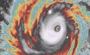
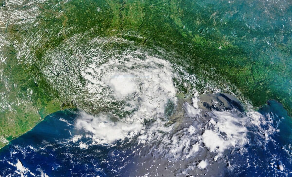
Tropical Storm Bertha has come ashore in Louisiana and is continuing its westward track towards Texas after prompting warnings and precautionary closures across parts of the US Gulf Coast.
Authorities say the storm’s greatest threats are strong winds and coastal storm surge, while the heaviest rainfall is expected to remain offshore, limiting the risk of widespread flooding. Officials have urged residents to remain cautious as the system continues inland.
The storm made landfall on Wednesday afternoon in St. Bernard Parish, around 40 miles east of New Orleans. According to the National Hurricane Center, Bertha was expected to reach the upper Texas coast on Thursday before weakening and dissipating inland by Friday.
The system also arrived as southern Louisiana experienced an unusual combination of tropical storm conditions and extreme heat, creating what the National Weather Service described as a rare weather event for the region.
Storm Brings Coastal Impacts While Major Flooding Risk Remains Limited
Early on Thursday, Bertha was located about 110 miles southwest of New Orleans and roughly 120 miles southeast of Lake Charles, Louisiana. According to the National Hurricane Center, the storm was moving west at 12 mph with maximum sustained winds of 45 mph.
Tropical storm warnings remained in effect from Alabama to Louisiana, including New Orleans. Storm surge of up to three feet was forecast in parts of Louisiana and Alabama, while rainfall totals of between one and four inches were expected, with isolated areas potentially receiving higher amounts.
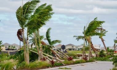
The National Hurricane Center said tropical storm-force winds extended as far as 160 miles from the centre of the system. A wind gust of 44 mph was recorded at New Orleans Lakefront Airport on Wednesday afternoon. In Panama City Beach, Florida, strong winds knocked a Waffle House sign onto a car.
Communities along the Gulf Coast took precautionary measures before the storm arrived. Beaches, parks and piers were closed in several locations, while some low-lying roads were also shut because of rising water. Along the Lake Pontchartrain estuary, residents watched storm surge reach the shoreline as children played in floodwaters and others continued outdoor activities despite water covering nearby streets.
Officials Monitor Conditions as Bertha Moves West Across the Gulf Coast
Louisiana officials said current forecasts suggested the storm would not produce severe damage across the state. According to Louisiana State Climatologist Jay Grymes, Bertha was not expected to leave behind widespread destruction, adding that coastal communities should be able to manage its impacts.
Governor Jeff Landry described the forecast as encouraging but warned residents to remain prepared for localised flooding as the storm progressed across the region. According to the National Weather Service, Wednesday marked the first time in at least two decades that southern Louisiana had simultaneously been under both tropical storm and extreme heat warnings, based on records dating back to 2005.
Bertha is the second named tropical storm of the 2026 Atlantic hurricane season. Tropical Storm Arthur, which formed in June, brought heavy rainfall to the southeastern United States. Coastal areas of Mississippi, where some communities are still recovering from flooding linked to Arthur, could receive additional heavy rain from Bertha.
Elsewhere in the United States, severe weather earlier this week produced reports of tornadoes from Cincinnati to New Jersey. Torrential rainfall also triggered flash flooding in West Virginia, where authorities reported flooded homes, damaged bridges and water rescues.
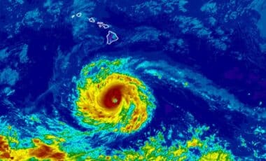
Meanwhile, in the eastern Pacific, Hurricane Fausto remained well offshore. According to the National Hurricane Center, the hurricane was located hundreds of miles west-southwest of the southern tip of Baja California with sustained winds of 80 mph, while ocean swells generated by the system were expected to create dangerous surf and rip currents along the Baja California coast.