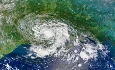
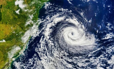
An intense Arctic blast is poised to bring frigid temperatures and hazardous wind chills to the Northeast and Mid-Atlantic regions this weekend. With forecasters issuing extreme cold warnings, millions of people across multiple states are being urged to take precautions to avoid dangerous cold exposure.
Wind Chill Threatening Life-Threatening Temperatures
According to the National Weather Service (NWS), the upcoming Arctic blast will bring dangerously low wind chills to areas stretching from Pennsylvania to New England. Strong winds, gusting up to 50 mph, will combine with already frigid temperatures to create wind chills as low as -30°F in some parts of the Northeast. The NWS forecast office for New York has emphasized the severe risk associated with these conditions.
In a Thursday post on X, NWS New York said “dangerous cold conditions are expected this weekend,” urging residents to stay alert. These extreme temperatures pose serious health risks, especially for those unprepared for such intense cold. Wind chills are expected to drop to as low as -15°F along coastal regions, with inland areas experiencing temperatures as cold as -20°F to -2°F.
This dangerous cold front could cause significant discomfort and even injuries. The NWS is stressing the potential for hypothermia and frostbite, which can develop rapidly under these conditions. It’s crucial for people in affected regions to cover exposed skin and limit time outdoors, especially when the wind chill is at its worst.
⚠️Dangerously cold conditions are expected this weekend.
— NWS New York NY (@NWSNewYorkNY) February 5, 2026
🥶An Extreme Cold Watch is in effect Saturday night into Sunday morning. Wind chills drop to as low as -15°F along the coast, and -20°F to -25°F inland.
❄️In addition, a light snowfall occurs Friday night into Saturday. pic.twitter.com/nGtyefTqDd
High Winds Could Cause Power Outages and Property Damage
The combination of extreme cold and high winds will not only affect people’s safety but also pose a risk to infrastructure. Gusty winds are expected to create hazardous conditions, potentially leading to power outages, especially in the Mid-Atlantic and southern Appalachian regions. The NWS predicts that wind gusts could exceed 50 mph in some areas, exacerbating the already dangerous cold.
The NWS forecast office for the Philadelphia and Mount Holly region warned in a Thursday statement, “High winds leading to power outages combined with extreme cold can be very dangerous! An Extreme Cold Watch is in effect for our entire region Saturday through Sunday morning.” This advisory indicates that residents should be prepared for possible disruptions to power supply and take appropriate steps to protect themselves and their property.
The intense cold and wind also raise concerns about the structural integrity of trees, which could be weakened by ice and snow accumulation. Power lines are especially vulnerable during extreme weather events like this, which can lead to prolonged outages in rural areas where power restoration may take longer.
Snow will start in the AM for most. The first wave of snow will end in E'rn OH (early afternoon) & exit just east of the ridges by 5-6PM. Snow squalls possible in E'rn OH starting 5-7PM as a secondary cold front moves through the area. Snowfall ends late Fri. PM/early Sat. AM. pic.twitter.com/O6qjffxvnk
— NWS Pittsburgh (@NWSPittsburgh) February 6, 2026
Snow Squalls and Blowing Snow Add to the Hazards
As if the extreme cold and wind weren’t enough, the NWS is also forecasting brief bursts of heavy snow. Snow squalls and blowing snow are likely to create near-zero visibility in affected areas, increasing the risk for accidents on roadways. Drivers are being advised to stay off the roads unless absolutely necessary, as icy conditions could make travel treacherous.
The NWS’s predictions for Friday and Saturday include potential snow squalls and localized snow accumulation. In some areas, the snow could lead to rapidly changing conditions, making it difficult for travelers to gauge road conditions. Travelers should always carry a cold weather survival kit, especially when venturing out in these extreme conditions.