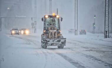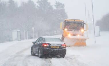
The sharp drop in temperatures comes as meteorologists monitor an unusually early sudden stratospheric warming event that has disrupted the polar vortex above the Arctic. Although both developments have attracted attention, forecasters stress that the atmospheric disturbance is not responsible for the current cold spell.
Temperatures Could Reach -10C As Widespread Frost Develops
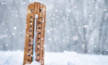
According to BBC Weather, temperatures are expected to fall to between -1C and -5C across much of the country from the Midlands northwards on Friday night. Rural parts of Scotland, particularly areas with lying snow, could experience lows of -10C.
Such conditions would surpass the lowest temperature recorded this autumn, when Tulloch Bridge in the Highlands reached -7.7C on 16 November.
The cold weather follows several fluctuations in temperature as Arctic air has periodically spread south across the UK. Southern regions have largely remained under the influence of milder Atlantic air, creating contrasting conditions across the country.
A northerly wind on Friday is expected to bring colder conditions to most areas. Early cloud and rain across southern England should clear, leaving widespread sunny intervals, although Scotland could experience occasional wintry showers.
Saturday is forecast to begin with frost across the Midlands, northern England, Northern Ireland and Scotland. Much of the country should then experience dry, mostly sunny conditions before cloud and rain reach south-west England later in the day.
Further frost remains possible on Saturday night, particularly across north-east England and Scotland, where temperatures could fall between 0C and -5C.
Weekend daytime highs are expected to remain between 4C and 8C. Cold health alerts issued by the UK Health Security Agency will remain in force across northern England until Monday morning. Despite the forecast, temperatures remain above Britain’s November record low of -16.1C, recorded in Cumbria in 1912.
Unusually Early Polar Vortex Disruption Brings Uncertainty for Winter
The colder conditions coincide with an exceptional disturbance in the stratospheric polar vortex, a circulation of strong westerly winds approximately 30km above the Earth’s surface.
According to GB News, the Met Office confirmed that a sudden stratospheric warming event occurred after atmospheric waves weakened and displaced the vortex away from the North Pole.
A strong wave-two pattern disrupted the vortex towards the end of October, followed by a wave-one event in November. The combined strength of these disturbances exceeded previous examples in historical records dating back to the 1940s.
Sudden stratospheric warming occurs when atmospheric waves disrupt the circulation of cold air above the Arctic, weakening or reversing the prevailing winds and causing stratospheric temperatures to rise rapidly.
The Met Office explains that such disturbances generally take between two and six weeks to potentially affect weather nearer the surface. The current cold snap therefore cannot be attributed to the recent event. The vortex has already begun recovering, with its westerly winds strengthening.
According to the Met Office, further weakening remains possible later in December, although considerable uncertainty surrounds that prospect. Any subsequent influence on Britain’s weather would represent a change in probabilities rather than a guarantee of prolonged cold or snowfall.