A surge of Arctic air is expected to sweep across the United Kingdom this week, sending temperatures below seasonal averages and bringing the first widespread frost of the season. Parts of Scotland could also see snow and other wintry showers as colder conditions take hold.
Arctic Air Will Trigger a Sharp Drop in Temperatures
An area of low pressure east of the UK will pull cold air southward from the Arctic between Wednesday, November 11, and Thursday, November 12, changing weather conditions across much of the country.
According to WalesOnline, which reported the forecast on November 10, temperatures in Wales have recently remained between 6°C and 8°C (43°F and 46°F) overnight. By Friday, November 13, nighttime lows could fall to approximately 1°C (34°F).
The change will also affect daytime conditions. Friday is expected to be the coldest day of the week in Wales, with maximum temperatures reaching only 7°C (45°F). Northerly winds will make conditions feel colder than thermometer readings suggest.
Speaking on BBC Breakfast, weather presenter Matt Taylor explained the atmospheric pattern behind the approaching cold spell:
“As we go from Wednesday into Thursday and area of low pressure to the east of the UK will drag Arctic air down across the country. There will be lovely, crisp visibility but there will be chilly conditions as well as a cold, northerly air and we will see our first widespread frost of the season.”
Presenter Jon Kay then offered a brief assessment of the forecast: “Winter is coming”.
A chilly start to Wednesday, with frost most widespread across Northern Ireland and Scotland 🥶 Cloud and rain persist across southern England and Wales, while northern areas stay largely dry. Showers continue to move south across Scotland ☔ https://t.co/TAWenVWV1k
— Met Office (@metoffice) November 11, 2026
Scotland Faces the Greatest Chance of Snow and Wintry Showers
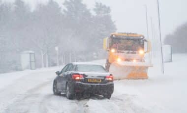
While temperatures will fall across Britain, northern and northeastern Scotland face the greatest likelihood of wintry precipitation.
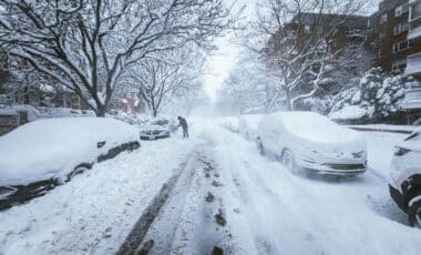
The Met Office expects showers to develop from Wednesday evening into Thursday as increasingly cold air spreads southward. Some precipitation could fall as snow, particularly in areas exposed to the incoming northerly airflow.
The agency described the expected conditions:
“Organised bands of showers will move south in increasingly cold air, readily turning wintry across the far north and northeast of Scotland. Shetland could also see soft hail in the showers, accompanied by strong winds.”
The forecast points to a combination of snow, soft hail and strong winds in exposed northern locations. It does not indicate that widespread snowfall will affect the entire UK.
Farther south, the main weather change will be the sudden drop in temperatures, particularly overnight.
With northerly winds establishing themselves, it’ll feel rather cold for most of us Some places in Scotland will feel closer to freezing in the breeze 🥶 https://t.co/ye75h90uuG
— Met Office (@metoffice) November 11, 2026
Widespread Frost and Fog Could Follow the Arctic Blast
By Friday, an area of high pressure is expected to become increasingly influential over the UK, bringing calmer and more settled conditions after the initial arrival of Arctic air.
That shift will introduce a different set of weather hazards.
With winds easing and skies becoming clearer, temperatures could fall rapidly after sunset. These conditions favor the development of overnight frost and fog, potentially affecting areas beyond the northern regions exposed to wintry showers.
The colder pattern is expected to continue through the weekend. In Wales, daytime highs should remain close to 7°C (45°F) before gradually recovering.
The Met Office expects temperatures to rise into double figures Celsius early next week, suggesting that the sharpest phase of the cold spell may be relatively brief.
For now, the forecast places the greatest risk of wintry showers across northern Scotland, while frost and fog are expected to become more widespread as high pressure settles over Britain.