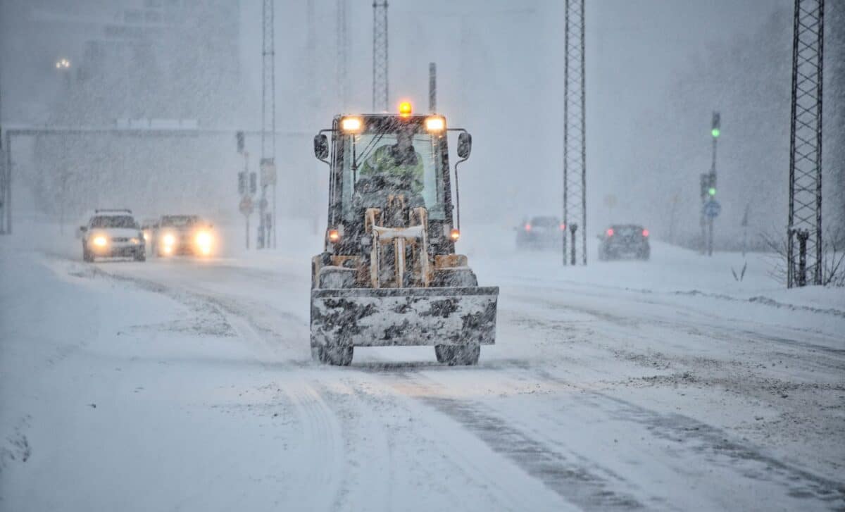
New weather maps show a potential 500-mile band of snow stretching from the Midlands towards northern Scotland, with some areas forecast to see up to four inches. The heaviest snowfall is currently expected on Tuesday, although the precise location and amount could change as the forecast develops.
Snow Could Stretch From the Midlands to Northern Scotland
WX Charts maps indicate that wintry showers could spread across a large part of Britain on Tuesday. A band of low pressure is forecast to move eastwards from around midnight on Tuesday.
The most substantial snowfall is currently expected later in the day. Maps for 6pm show a broad area of snow extending from the Midlands towards northern Scotland. By around 9pm, snow could affect large parts of Scotland, northern England and sections of the Midlands.
Up to four inches of snow could develop in some areas over roughly eight hours, according to the current WX Charts forecast.
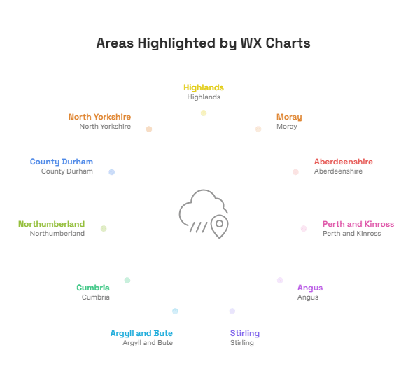
11 Areas Could See the Heaviest Snow
The areas currently highlighted by WX Charts include:
- Highlands
- Moray
- Aberdeenshire
- Perth and Kinross
- Angus
- Stirling
- Argyll and Bute
- Cumbria
- Northumberland
- County Durham
- North Yorkshire
The highest snowfall totals are currently expected in parts of northern Scotland, although conditions could change before Tuesday.
Met Office Forecast Points to Colder Conditions in the North
The Met Office’s long-range forecast for November 24 to December 3 describes a changeable period, with bands of rain moving eastwards across the UK. The forecast says some of these systems could bring strong winds, while colder northern areas could see precipitation fall as snow at times, mainly over higher ground.
The Met Office also expects clearer spells and showers either side of the rain bands. Southern areas are forecast to remain generally milder, although colder nights could occur when skies are clearer.
Snow Forecast Could Still Change
The current maps do not mean that every location within the projected 500-mile band will receive heavy snow. Weather systems can shift in the days before an event, changing both the location and amount of snowfall.
The Met Office also notes that temperatures are likely to remain close to average overall, while a spell of colder weather cannot be ruled out. Later in November, higher pressure could become more influential, particularly across northern areas, potentially leading to more settled conditions.
For now, the main areas to watch are northern Scotland, northern England and parts of the Midlands, where the latest maps show the greatest potential for snow on Tuesday.