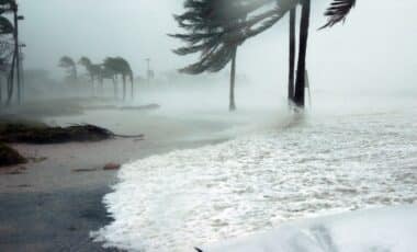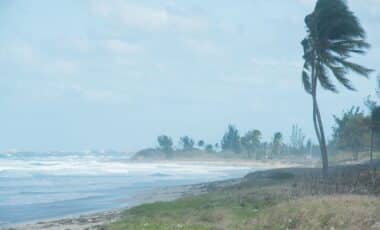
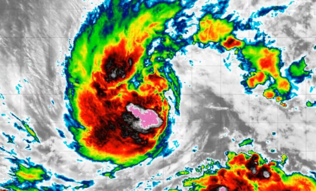
The National Hurricane Center is monitoring Nolo as it approaches the Hawaiian Islands. Forecasts show the system could become a Category 3 hurricane early Saturday near the Big Island, with potential impacts including intense rainfall, hurricane-force winds and flooding conditions.
Nolo’s forecast path brings heavy rainfall concerns for the Big Island
Tropical Storm Nolo is expected to pass over the Big Island before turning westward back into the Pacific. According to forecasts reported by The Washington Post, the storm could bring 15 to 20 inches of rain across the island, creating risks of life-threatening flooding and mudslides.
The National Weather Service has noted that tropical cyclones can produce heavy rainfall capable of overwhelming drainage systems and causing flash floods. Flooding can continue after a storm moves away, especially when large amounts of water accumulate over a short period.
Forecast information from The New York Times shows that several locations on the Big Island had a possibility of experiencing damaging winds beginning Friday evening or early Saturday, Hawaii-Aleutian Standard Time. Areas including Hilo, Hawaiian Paradise Park and Hawaiian Ocean View were among the locations listed in the wind arrival forecasts.
The storm’s intensity remains a key part of the forecast. Tropical cyclone strength is classified by sustained wind speeds. According to the National Hurricane Center, a tropical storm has winds between 39 mph and 73 mph, while a hurricane begins when sustained winds reach at least 74 mph.
Forecast models track possible strengthening and storm impacts
Meteorologists use forecast models to estimate both a tropical cyclone’s path and its future intensity. The intensity of a storm can be more difficult to predict than its movement because changes in environmental conditions can affect how quickly a system strengthens or weakens.
According to The New York Times, Nolo’s projected maximum wind speed was listed at 120 mph in the forecast information available on Wednesday, Sept. 23, with the system expected to reach Category 3 hurricane strength. The National Hurricane Center forecast cone represents the possible path of the storm’s center and includes uncertainty based on historical forecast errors.
The National Hurricane Center explains that a tropical cyclone is not a single point and that strong winds can extend beyond the forecast track area. The agency’s graphics show the expected track, possible warnings and areas where tropical storm or hurricane conditions could occur.
Storms affecting Hawaii are monitored closely because direct landfalls are uncommon, although nearby systems can still create hazardous conditions. According to The New York Times, Hurricane Douglas in 2020 did not make a direct hit on the islands but still produced damaging winds.
The central Pacific hurricane season runs from June 1 through November 30. The National Oceanic and Atmospheric Administration has predicted five to 13 tropical storms for the 2026 season, compared with a typical range of four to five storms.