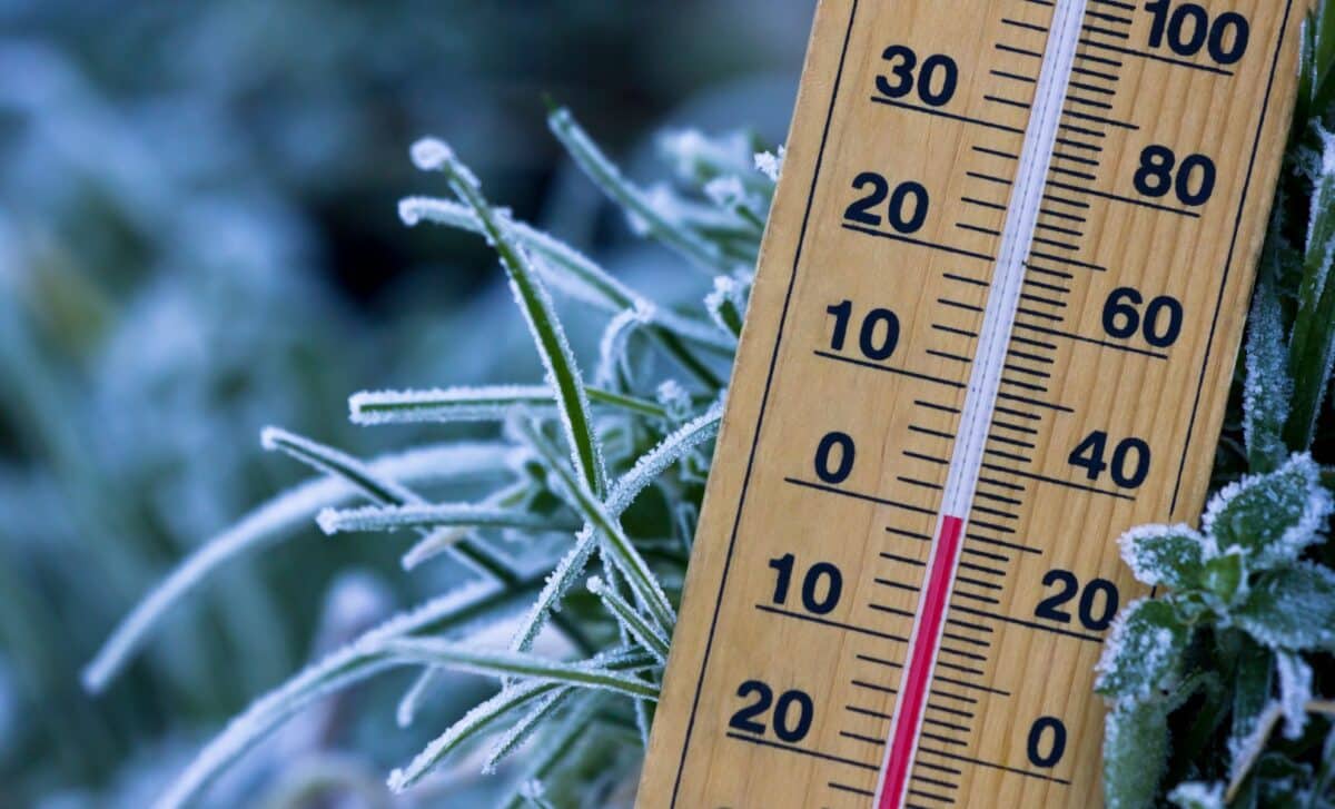
Forecast models suggest that the disruption could develop into a sudden stratospheric warming event, a phenomenon rarely observed in November. Its effects can influence atmospheric circulation for weeks, although forecasters have not established whether the United States will experience a significant cold outbreak.
According to the National Weather Service’s Climate Prediction Center (CPC), the potential event adds uncertainty to its November outlook, particularly across the eastern United States. The agency continues to identify El Niño as the dominant influence on the month’s weather patterns.
A Rare Stratospheric Event Could Weaken the Polar Vortex
The Arctic polar vortex is a circulation of strong westerly winds that develops approximately 10 to 30 miles above the North Pole during winter. These winds surround a region of extremely cold air in the stratosphere, helping isolate it from lower latitudes.
During sudden stratospheric warming, temperatures high above the Arctic rise rapidly while the surrounding winds weaken or reverse direction. NOAA research indicates that temperatures can increase by 40°C to 50°C within just a few days in particularly intense events.
The disruption begins through interactions between atmospheric circulation and planetary waves traveling upward from lower layers of the atmosphere. These interactions weaken the prevailing winds and produce changes in temperature that can extend downward.
A NOAA analysis of the 2003–2004 sudden stratospheric warming documented a major event in which stratospheric temperatures increased by as much as 28°C. Westerly winds of 65 meters per second reversed into easterly winds of 20 meters per second over two weeks.
The resulting atmospheric anomalies extended into the troposphere, influencing circulation throughout much of January 2004 and parts of February.
The historical event demonstrates how disturbances originating high above the Arctic can affect weather patterns closer to Earth’s surface. Yet the extent of that influence varies between events, making individual outcomes difficult to forecast.
US Temperature Outlook Remains Uncertain Despite Signs of Disruption
The CPC’s updated November outlook identifies a possible polar vortex disruption during the first week of the month. If sudden stratospheric warming develops, atmospheric effects could persist for up to two months.
Such events are often associated with a negative phase of the Arctic Oscillation, a circulation pattern that can favor the movement of Arctic air toward lower latitudes.
The CPC also identifies some potential for atmospheric troughing over the southeastern United States toward the end of November, although forecast models disagree about its position and strength.
Despite that possibility, the agency’s monthly forecast continues to favor above-normal temperatures across much of the northern United States and along both coasts.
The strongest probabilities, ranging from 60% to 70%, are concentrated over the Northern Plains and Upper Mississippi Valley, where persistent atmospheric ridging is supported by multiple forecast models.
Research published in Environmental Research: Climate and discussed by NOAA in January 2025 identifies additional influences on Arctic outbreaks, including atmospheric blocking, polar vortex stretching and tropical climate patterns.
These findings underline why a weakened polar vortex does not automatically produce widespread cold weather. For now, the November forecast reflects competing atmospheric influences rather than a confirmed Arctic outbreak across the United States.