The approaching system comes as meteorologists anticipate a winter shaped by a strengthening El Niño. Although forecasts increasingly indicate snow between Thursday and Saturday, uncertainty remains over the storm’s precise track, intensity and potential accumulation. The developing weather pattern also follows a seasonal outlook predicting contrasting conditions across the country.
Nine States Face Possible Snowfall As Two Storm Systems Converge
According to Newsweek, a storm currently producing rain and mountain snow in the Pacific Northwest is expected to move eastward across the United States before merging with another system descending from Canada. The combined storm could affect the Northeast and Mid-Atlantic later this week.
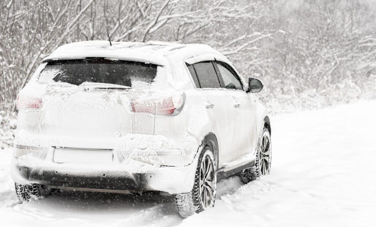
Winter weather could begin in the eastern United States as early as Thursday morning and continue through Saturday morning. North Carolina, Virginia, West Virginia, Pennsylvania, New York, Vermont, New Hampshire, Massachusetts and Maine could experience accumulating snow, particularly in mountainous areas.
AccuWeather Senior Meteorologist Adam Douty identified the interior Northeast and central Appalachians as the most likely areas to receive snow. He cautioned that accumulation would be difficult outside higher elevations, with the storm’s eventual path determining which locations experience their first snowflakes of the season.
Temperatures are expected to remain too warm for significant accumulation at lower elevations. Rain is therefore more likely along much of the Interstate 95 corridor, where nearby Atlantic waters could further limit snowfall.
AccuWeather Senior Meteorologist Alex Sosnowski noted that offshore water temperatures range from the 40s to the 60s, making conditions unfavorable for snow whenever winds carry relatively warm maritime air inland. The National Weather Service also anticipates gusty winds, low-elevation rain and high-elevation snow across the Northeast from Friday into the weekend.
El Niño Shapes a Winter Outlook of Warmer Temperatures and Uneven Precipitation
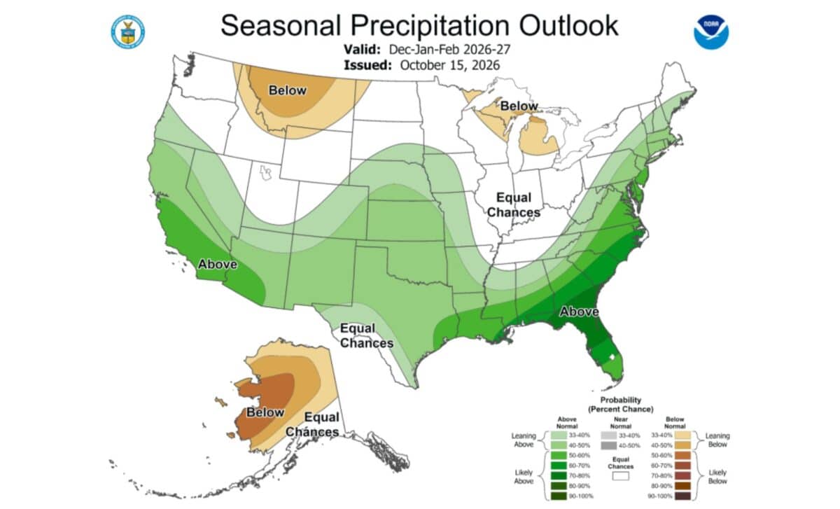
The approaching storm comes against a broader seasonal pattern influenced by El Niño, which is expected to affect temperatures and precipitation across the United States between December 2026 and February 2027.
According to NOAA’s winter outlook, released October 15, warmer-than-average temperatures are favored across northern California, the Pacific Northwest, Midwest, Mississippi Valley, much of the East and Alaska. Near-normal temperatures are most likely in parts of the Southeast, including Florida.
Precipitation patterns tell a different story. Wetter-than-average conditions are favored across the southern United States, extending from the Southwest through the Southeast and along the East Coast.
Meanwhile, drier conditions are more likely across the northern Mountain West, portions of the Great Lakes, much of Alaska and Hawaii.
Ken Graham, director of NOAA’s National Weather Service, explained that a very strong El Niño can shift the jet stream southward and eastward, increasing the likelihood of stormier conditions across southern states.
NOAA also expects drought conditions to improve or end across the Southwest, Southern Great Plains, Southeast and parts of the East Coast. Parts of the northern Rockies, northeastern Oregon and eastern Washington face worsening drought risks.
While these seasonal forecasts describe broader weather tendencies, NOAA emphasizes that they do not predict total winter snowfall. Snow accumulation generally cannot be forecast reliably more than a week in advance, leaving the approaching weekend storm subject to further changes.