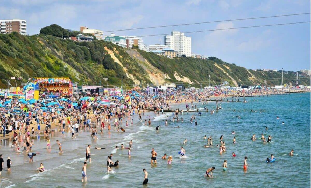
The UK is gearing up for the first warm weather of 2024. The Met Office is forecasting an imminent heatwave that could last up to three weeks, ushering in a period of hot, dry sunshine.
Weather Forecasts For the Coming Weeks
The Met Office’s latest forecast, released on April 8, predicts much warmer than average temperatures, particularly in the south and east of the country, during the transition from April to May.
Looking ahead to late April and early May, the Met Office is forecasting a mixture of weather. It is forecasting sporadic rain and showers, particularly in the north and north-west regions. However, the forecast also suggests the possibility of drier, sunnier periods, mainly in the south and east.
Forecasts from the BBC’s weather team for the period 27 April to 5 May show a gradual decline in confidence in the forecasts as the weather becomes increasingly uncertain. Global models suggest the development of high pressure near or extending from the UK to Scandinavia, as well as a trough over southern and South-Western Europe.
Temperature Trends
Temperatures are likely to be a little above average, with quieter and drier conditions forecast for the north. The southern and south-eastern regions, on the other hand, may see slightly wetter and windier conditions. Meanwhile, the position of the high pressure system may lead to warmer, calmer conditions as the period progresses.
Meteorologists at the BBC are suggesting that the drought trend may stabilise in late April and early May. “In the next update, we will see if the drought trend continues or stabilises during the rest of April and early May,” they note.
Netweather’s forecast seems to match the views of the BBC’s weather team. They, too, are predicting much drier weather towards the end of April or beginning of May, with an increase in high pressure to the east and north-east.
But the timing of this hot spell is uncertain. It could kick off towards the end of April, or be delayed until early May. Still, there is a good chance that this period will turn into warmer and relatively drier conditions, particularly towards the end of April.
The chance of near-average rainfall and sunshine is fairly high. In addition, temperatures are likely to be one or two degrees above the long-term average. However, we can’t rule out the possibility of further warming under the effect of southerly winds.
5-Day Weather Forecast
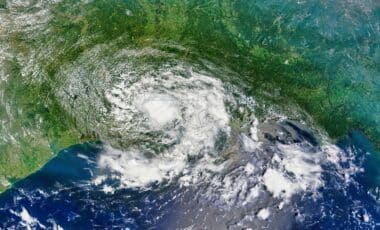
The weather has been much cooler today and, as the evening approaches, we are seeing signs of a drier period. Some parts of Northern Ireland, West Wales and South-West England are getting a bit of sunshine from this change, as the latest satellite images show.
Rain and Wind Warnings for Eastern Regions
Moving eastwards, it’s a completely different story. We have a lingering low-pressure system, shrouded in clouds that aren’t there to look pretty. These clouds are bringing persistent rain, particularly to the north of England and parts of southern Scotland. With a rainfall warning in force, that is likely to lead to localised flooding.
- To View the Flood Zones Map
- Find Out About Flooding Near You
- Scottish Flood Forecast
- Wales Flood warnings and alerts
Both rain and gusty winds are being felt along the coasts of Wales and north-west England, bordering the Irish Sea. Although the winds will ease a little as the evening progresses, they will continue to add freshness to the air.
⚠️ Yellow weather warning issued ⚠️
Rain across parts of western Scotland
Wednesday 0900 – 1800
Latest info 👉 https://t.co/QwDLMfRBfs
Stay #WeatherAware⚠️ pic.twitter.com/0HHOJSvWp5
— Met Office (@metoffice) April 8, 2024
A Cooler Night Ahead
Overnight, the sky will clear for many, thanks to the low-pressure system moving away towards the North Sea. These clear skies may be a welcome change from the rain, but they will also bring a drop in temperatures.
We are looking at a colder night than we have been used to recently, particularly in the east of Scotland and the north of England.
In rural areas, there is even talk of frost tomorrow morning. While the far south-west of the country will escape the cold thanks to cloud cover, most of us can expect a chilly start to the day.
Wednesday
A drizzlier beginning to many before rain and clouds continue to spread eastwards throughout Wednesday, becoming particularly heavy in north-west Scotland. Gentler winds in the west than on Tuesday.
Thursday to Saturday
The weather expected to be drier, though rather cloudy, in the south on Thursday and Friday, but still variable in the north. Severe showers, mainly in the north, on Saturday.