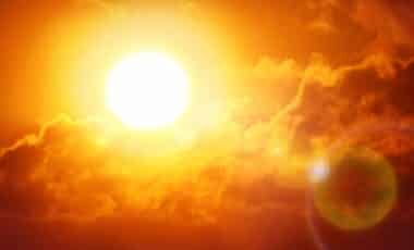
After a period of cool, wet and unsettled weather, forecasts indicate a marked change in conditions across parts of the UK later this week. Temperatures are expected to rise steadily, with some areas of England potentially reaching 30C by the weekend.
The shift comes as higher pressure begins to build across the country, replacing the low-pressure systems that have brought widespread rain, strong winds and occasional thunderstorms. Forecasters say the warmer pattern could extend into the middle of June, particularly across England and Wales.
Unsettled Conditions Expected before Temperatures Begin to Rise
The first half of the week is forecast to remain unsettled, with wet and windy weather affecting much of the UK. According to BBC Weather, Wednesday will bring a mixture of sunny intervals, cloud and scattered showers, with a risk of thunderstorms before conditions gradually ease later in the day.
Thursday is expected to be cloudier and breezier, with outbreaks of rain moving eastwards during the morning. The rain should clear during the afternoon, leaving variable cloud cover and a number of showers. Similar conditions may continue into Friday, although temperatures are expected to remain relatively cool.
According to the BBC Weather monthly outlook, a succession of low-pressure systems and associated fronts will continue to move across the country during the remainder of the week. Wednesday and Thursday are expected to be particularly wet and windy, with some locally heavy or thundery rain.
Forecasters say conditions on Friday should be less windy, with sunny spells developing between scattered showers. Temperatures are expected to remain close to, or slightly below, the average for early June, although eastern areas may feel somewhat warmer under south-westerly to westerly winds.
By the weekend, wind directions are forecast to shift more southerly. This change is expected to bring a modest rise in temperatures across most regions, while the main track of low-pressure systems begins moving further north.
High Pressure Could Bring Very Warm Conditions during Mid-june
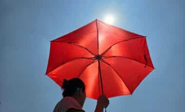
The warmer trend is expected to become more established from the weekend onwards. According to reports, temperatures could reach or exceed 30C in some parts of England between Friday 12 June and Sunday 14 June as pressure builds across the UK.
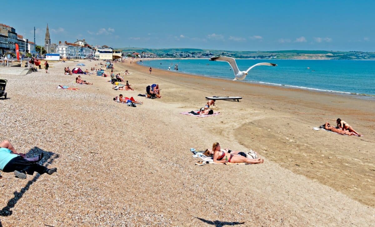
The south and east of England are forecast to become progressively drier by Sunday, while much of the rainfall becomes concentrated in north-western areas. Temperatures in the south-east are expected to climb into the low twenties before increasing further during the following week.
According to the BBC Weather monthly outlook, the period from 15 to 21 June is likely to be dominated by high pressure positioned near or across the UK, accompanied by a jet stream displaced further north than usual. This pattern is expected to produce widespread warmer-than-average conditions, with some very warm or hot days, particularly across parts of England and Wales.
The same outlook suggests conditions should also become drier than normal, with Atlantic weather systems largely diverted north of the UK and towards south-west Europe. While some rain remains possible, especially in Scotland, any precipitation elsewhere is more likely to come from localised heavy showers or thunderstorms.
The weather outlook notes there remains a smaller possibility that high pressure could be centred further west, resulting in cooler and potentially wetter conditions. Forecasters currently estimate that scenario has only a 10% to 20% chance of developing.