Heavy showers are forecast across much of the UK this week, with temperatures dropping sharply after the country’s fifth heatwave of the summer. The rain could also bring surface flooding where drought-hardened ground struggles to absorb sudden downpours.
The shift comes after temperatures reached 38.1C at Kew Gardens in London on Thursday 13 August, the highest recorded in the UK so far this year. By Thursday 20 August, some areas could be more than 15C cooler than they were a week earlier, while temperatures in parts of the UK are expected to sit about 3C below the seasonal norm.
Rain is returning after an exceptionally dry spell. At Wisley, Surrey, a Met Office weather station had gone 62 consecutive days without rainfall by Monday 17 August. The last rain measured there was just 0.4mm on 16 June.
Heavy Showers Bring Surface Flooding Risk
Rain and showers were expected to move south from Northern Ireland and Scotland into England and Wales at the start of the week. Further rain was then due to reach the South West before spreading east across southern England.
Met Office deputy chief forecaster Mike Silverstone said some parts of England and Wales would see the “first meaningful rain for a long time”.
Fairly cloudy this afternoon but milky skies will give hazy sunshine at times🌥️
— Met Office (@metoffice) August 18, 2026
Showers are possible, chiefly in the northwest. These mostly light and drizzly but heavier ones are possible in western Scotland and much wetter in Orkney🌧️
Breezier and fresher than yesterday. pic.twitter.com/YQdBKRTALP
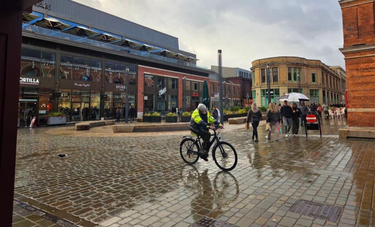
Heavy showers are forecast across much of the UK on Thursday, although some places could avoid them altogether. Where the rain is particularly intense, the Met Office said very dry, hard ground may not absorb it quickly enough, creating a risk of surface water flooding.
Low pressure is expected to bring frequent sharp showers from Wednesday into the weekend, with some downpours potentially turning thundery. A cold front moving south into France and Germany is also expected to bring wetter conditions to parts of continental Europe.
Drought Conditions Continue Despite Rain
The expected rainfall will not be enough to end the drought affecting large parts of the country. More than 27 million people in England were already subject to hosepipe restrictions by Monday, and Wessex Water announced its first hosepipe ban in 50 years.
The temporary restriction takes effect on Tuesday 18 August for 1.4 million Wessex Water customers across Bath, Somerset, Dorset and Wiltshire. The company said demand during the prolonged dry weather had stayed above 400 million litres a day, about 30% higher than average for the time of year.
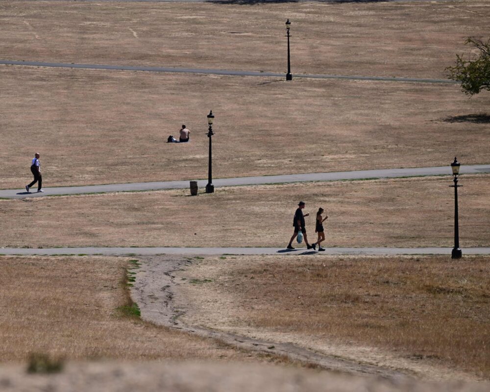
Liz Stephens, professor in climate risks and resilience at the University of Reading, said south-east England remained about a month’s rainfall below the amount normally expected by this stage of the year. Vegetation, rivers and reservoirs would need sustained rainfall over many weeks to recover, she said.
Wildfires Reach Record Level in England and Wales
The prolonged dry weather has also coincided with a record number of wildfires.
The National Fire Chiefs Council said 1,132 wildfires had been recorded across England and Wales in 2026 by Monday 17 August, the highest total recorded between January and that point in the year.
In the West Midlands, a wildfire in Stourbridge destroyed 19 homes. Fire chiefs said the number of incidents had begun to fall, but many areas remained exceptionally dry.