The change follows several days of grey skies, strong winds and periods of rain. While the warmer conditions will bring temperatures well above the seasonal average in some areas, forecasters say it remains too early to determine whether an official heatwave will develop.
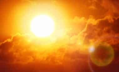
Warmer Weather Expected After a Wet and Cool Spell
The current week is set to begin on an unsettled note before conditions improve. According to BBC Weather lead presenter Simon King, heavy showers are expected across much of the UK on Wednesday, with a high likelihood of thunderstorms affecting parts of eastern Scotland and eastern England.
Temperatures during the middle of the week are forecast to remain below average for the time of year. The BBC reports that daytime values could sit around 3C to 6C below normal, with a broad area of rain moving eastwards across many regions on Thursday.
Conditions are then expected to improve gradually. Friday should become brighter and drier for many areas, while temperatures begin to recover. According to the BBC Weather outlook, high pressure building into southern parts of the UK will expand across the country during the weekend.
Saturday is expected to bring largely fine weather across England and Wales after some early fog patches, although parts of Scotland, Northern Ireland and northern England may still experience isolated rain. By Sunday, any remaining rain should be confined farther north, allowing warmer air to become established across central and southern England.
Forecast temperatures are expected to reach between 22C and 27C across much of England and Wales, with a chance of 28C in south-east England. Northern Ireland and southern Scotland could also experience warmer conditions, with highs of 20C to 22C.
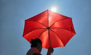
Heatwave Status Remains Uncertain Despite Above-Average Temperatures
Although temperatures are forecast to rise sharply, forecasters have stressed that warmer weather alone does not automatically qualify as a heatwave. According to Simon King, temperatures expected over the weekend will be around 6C to 8C above average for early June. Even so, an official heatwave requires threshold temperatures (typically between 25C and 28C depending on location) to be reached for three consecutive days.
The BBC notes that warmer-than-average conditions are likely to continue into next week. Yet uncertainty remains over how long the higher temperatures will persist.
Different forecasting models currently suggest contrasting outcomes. Some indicate that high pressure could remain positioned over the UK, allowing temperatures to stay in the mid to high 20s. Other models move the high-pressure system farther east, permitting Atlantic weather systems to return. That scenario would bring cooler conditions along with increased cloud cover and showers.
The Met Office has also indicated a generally warm start to the period between 14 and 23 June. According to its latest outlook, much of the UK is expected to be fine and dry during the first part of that period, with long spells of sunshine and temperatures above normal. Parts of southern England could become very warm for a time.
The Met Office also forecasts a more unsettled spell during the middle of next week before high pressure potentially becomes dominant again, leading to widely dry, settled and probably very warm conditions across many areas. Whether that pattern develops into an official heatwave, however, remains uncertain.