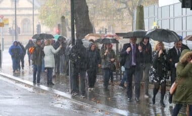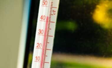
A new forecast suggests parts of southern and eastern England may see temperatures climb to 30C next week. According to weather maps cited by WX Charts, the warmer spell could persist for up to five days. The outlook follows an unsettled start to June, with widespread showers, rain and some thunderstorms expected across parts of the UK in the coming days.
New weather maps from WX Charts, which uses Met Desk data, indicate that temperatures could rise sharply from 11 June. According to reports, temperatures are forecast to remain between the mid-twenties and 30C until 15 June, with some areas of southern England expected to experience the highest readings.
The forecast comes after a notably warm end to spring. The late-May heatwave brought six consecutive days above 30C in some locations, while both spring and May maximum temperature station records were exceeded by more than 2C.
Southern and Eastern England Forecast to See Highest Temperatures
According to the GFS modelling system referenced in the reports, temperatures could reach 30C by 11 June before remaining elevated for several days. By 15 June, temperatures are still expected to be around 26C in Greater London and parts of southern England.
The areas identified as likely to experience the warmest conditions include Kent, Essex, Suffolk and Norfolk. Cambridgeshire, Hertfordshire, Bedfordshire, Buckinghamshire and Berkshire are also listed among the counties expected to see higher temperatures. The forecast further identifies Surrey, East Sussex, West Sussex, Hampshire and Oxfordshire as areas where temperatures may remain particularly warm during the period.
While the projected rise in temperatures has attracted attention, the reports note that the beginning of June is expected to be markedly different, with cooler and wetter conditions affecting much of the country before any warmer spell develops.
Wet and Changeable Conditions Expected Before Warmer Spell
According to the Met Office outlook covering Tuesday 2 June to Saturday 6 June, widespread showers are expected, with some becoming heavy and thundery. Rain in eastern areas is forecast to clear during Tuesday morning, although it may persist for much of the day across north-east Scotland.
The Met Office states that widespread showers will develop elsewhere, with some heavy and thundery outbreaks. Temperatures are expected to remain around average for early June.
Conditions are forecast to improve temporarily on Tuesday evening, with showers easing in many areas. A few showers may continue overnight, mainly across northern and western regions, before further rain reaches western parts by dawn.
For Wednesday 3 June, the Met Office expects a band of rain to move eastwards across the country, becoming slow-moving across parts of Scotland. Behind it, a mixture of sunshine and showers is forecast, with the heaviest showers likely to occur in northern areas.
Looking further ahead to Thursday through Saturday, the Met Office outlook indicates that conditions will remain changeable. According to the forecast, further showers and longer spells of rain are expected, interspersed with some drier and brighter periods. Temperatures during this period are forecast to remain on the cool side for the time of year.