The highest temperatures are expected between Friday and Sunday, with southeastern England most likely to experience the warmest conditions. The Met Office has also highlighted uncertainty in the forecast due to the possibility of heavy showers developing across parts of the country.
The warmer weather follows a generally mild week across the UK, with temperatures already reaching the high teens and low 20s on Thursday. Conditions are forecast to become hotter on Friday as much of England and Wales moves into the mid to high 20s.
According to the Met Office, temperatures could peak on Saturday, May 23, with 30C possible in parts of the southeast “under the most favourable conditions.” Similar temperatures may also be recorded on Sunday, especially in sheltered and sunny areas.
Southern and Eastern England Expected to See Highest Temperatures
The Met Office has identified several counties where temperatures could approach or reach 30C during the weekend. Areas listed include Berkshire, Hertfordshire, Essex, Greater London, Kent, Surrey, Buckinghamshire, Cambridgeshire, Suffolk, and Norfolk.
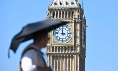
Among the towns and cities mentioned are Reading, Watford, Chelmsford, London, Maidstone, Guildford, Cambridge, and Thetford. Forecasters said southern England is likely to experience the hottest conditions, particularly where skies remain clear for prolonged periods.
According to the weather agency, temperatures on Friday are expected to rise widely into the mid and high 20s across England and Wales before increasing further on Saturday. Some locations may remain slightly cooler if cloud cover or rain develops during the day.
The forecast also suggests that Sunday and bank holiday Monday could remain warm across much of the UK. High pressure is expected to rebuild during this period, bringing more settled conditions after the risk of weekend storms.
The Met Office said that, depending on how weather systems evolve, temperatures may either stay in the mid to high 20s or return closer to seasonal averages by Monday. Even so, the agency stated that “the overall signal points towards largely fine weather for the majority of the UK.”
Thunderstorm Risk May Affect Temperatures in Some Regions
While the forecast points to very warm conditions, meteorologists have also warned that thunderstorms could develop from Friday night into Saturday. According to the Met Office, this uncertainty is linked to an approaching upper-level trough that could introduce instability into the atmosphere.
At the same time, increasing warmth and humidity near the surface are expected to provide favorable conditions for convective activity. The Met Office said that where showers form, they could become locally heavy and bring periods of thicker cloud cover.
Forecasters noted that these storms are likely to be scattered rather than widespread. This means some areas may stay dry and continue to experience very warm weather, while nearby locations could see rain and lower temperatures.
According to the Met Office deep-dive forecast, the development of showers remains one of the key uncertainties heading into the bank holiday weekend. Weather conditions may therefore vary significantly between regions, particularly on Saturday. Despite the possibility of thunderstorms, much of the UK is still expected to see prolonged dry spells and above-average temperatures during the holiday period.