The latest outlooks from the Met Office, BBC Weather and weather forecasting platforms suggest that high pressure will become established across much of England and Wales into early July. While forecasters expect warmer conditions to develop, the timing and intensity of any officially recognised heatwave will depend on whether local temperature thresholds are met.
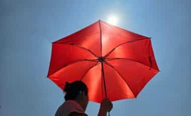
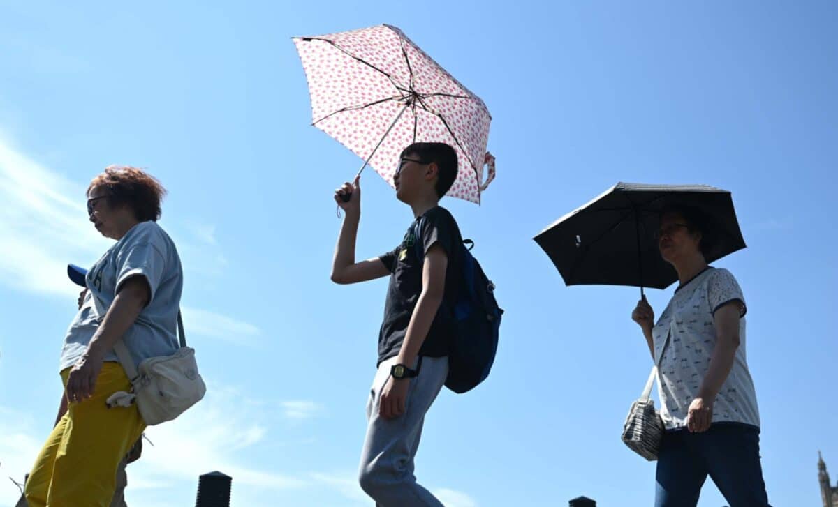
The cooler conditions that followed last week’s record-breaking June heat have brought some relief across much of the country. Sunshine is still expected for many areas during the coming days, although parts of northern and western Britain are likely to see cloud and periods of rain before warmer weather expands once again.
Forecasts suggest that southern and eastern England will experience the highest temperatures, with London among the areas most likely to see sustained heat as the second week of July begins.
Forecasts Indicate Temperatures Will Increase through the First Half of July
According to the Met Office, high pressure is expected to dominate England and Wales over the weekend beginning 3 July, bringing dry, warm conditions and plenty of sunshine for most areas. Scotland and Northern Ireland are forecast to experience more cloud initially, with periods of rain mainly affecting western Scotland before drier and warmer conditions gradually extend northwards during the following week.
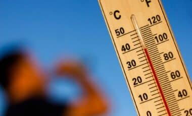
The Met Office also states that temperatures “will rise through the period, perhaps becoming very warm or hot in places“, while winds are expected to remain light to moderate across most regions.
According to BBC Weather forecasts, Birmingham is expected to reach around 25C from Friday, 3 July before temperatures increase further. Forecasts indicate highs of 28C on Monday, 6 July, followed by three consecutive days reaching 30C between 7 and 9 July.
London is forecast to be warmer still. Weather projections indicate temperatures could reach 28C on Sunday, 5 July before climbing to 32C on 8 and 9 July, with extended sunny conditions forecast through much of the period.
Official Outlook Highlights Warmer Conditions While Longer-Range Forecasts Suggest Possible Heatwave
According to reports, Met Office forecaster Honor Criswick said the new week would bring fresher air, with less humidity but continued sunshine. She said showers would affect parts of north-west England and Scotland early in the week, while temperatures for much of the country would remain in the high teens and low twenties before increasing later.
The Met Office explains that an official heatwave is recorded when a location experiences at least three consecutive days with daily maximum temperatures meeting its local threshold. The threshold is 27C across much of south-east England and 28C in London and surrounding areas.
Longer-range forecasts suggest temperatures could rise above those thresholds during the second week of July. According to WXCharts, temperatures could reach 32C in south-east England on 7 July, while forecasts also indicate higher values for London on subsequent days. Both publications note that longer-range forecasts are generally less reliable than shorter-term predictions.
The Met Office’s longer-range outlook for 11 to 25 July states that temperatures are “likely to be above normal on the whole, with a greater than normal chance of hot conditions developing at times”, while indicating that high pressure is expected to remain the dominant weather pattern across much of England and Wales.