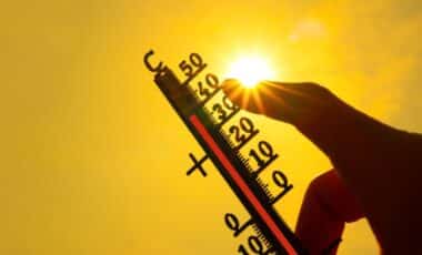
A stretch of warm spring weather is set to continue into the May bank holiday weekend, though forecasters warn conditions may turn unsettled. Birmingham is expected to see sunshine alongside the risk of thunderstorms, creating a mixed outlook for the long weekend.
The Met Office indicates that while temperatures will remain relatively high, the stability seen earlier in the week is unlikely to persist. Showers and possible thundery outbreaks could interrupt otherwise bright conditions across parts of the West Midlands.
The shift comes as millions prepare to take advantage of the bank holiday break, often associated with outdoor plans. According to the Met Office, this combination of warmth and instability reflects a typical pattern for late April and early May, where rising temperatures can lead to more volatile atmospheric conditions.
Warm Temperatures Persist despite Increasing Instability
The latter part of the week is expected to retain much of the warmth experienced in recent days. Forecast details provided by the Met Office describe a settled and clear night ahead, with early gusty winds easing and temperatures remaining mild, with some areas staying in double figures and a minimum of 7°C.
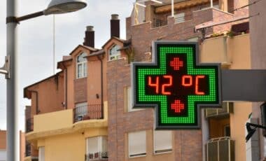
Friday is projected to bring further sunshine and lighter winds, with temperatures reaching up to 24°C. According to the Met Office, this would make it another very warm day, particularly in direct sunlight. There is, though, a growing likelihood of isolated showers developing later in the day.
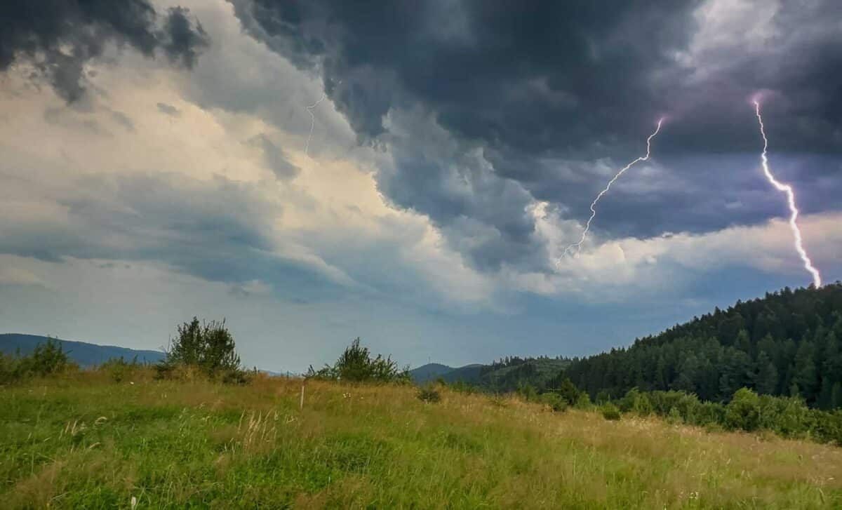
These showers may become more pronounced towards the evening, particularly in western areas, where conditions could turn thundery. This gradual transition signals the beginning of a more changeable pattern heading into the weekend. While the warmth may encourage outdoor activity, the presence of showers introduces some uncertainty. The balance between sunshine and sudden rainfall is expected to vary across short distances, a feature often associated with convective weather patterns.
Bank Holiday Weekend Brings Risk of Showers and Thunderstorms
Looking ahead to Saturday through Monday, the broader outlook suggests a move towards less settled conditions. According to the Met Office forecast, the weekend will likely see an increase in showers, with the possibility of thundery outbreaks developing at times.
Despite this shift, temperatures are expected to remain warm throughout the period. This combination of warmth and moisture in the atmosphere creates favourable conditions for thunderstorms, though their exact timing and location remain uncertain.
The Met Office notes that such variability is common during transitional seasonal periods. While prolonged rainfall is not indicated, intermittent showers could affect outdoor plans, particularly during peak daytime hours when atmospheric heating is strongest.
For Birmingham, this means the bank holiday may feature a mix of bright intervals and sudden downpours. According to the forecast, no single condition is expected to dominate entirely, reinforcing the need for flexible planning. The overall message remains consistent: warm weather will continue, though accompanied by a greater risk of disruption from showers and thunderstorms.