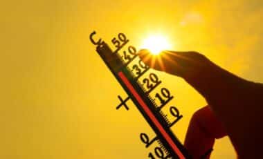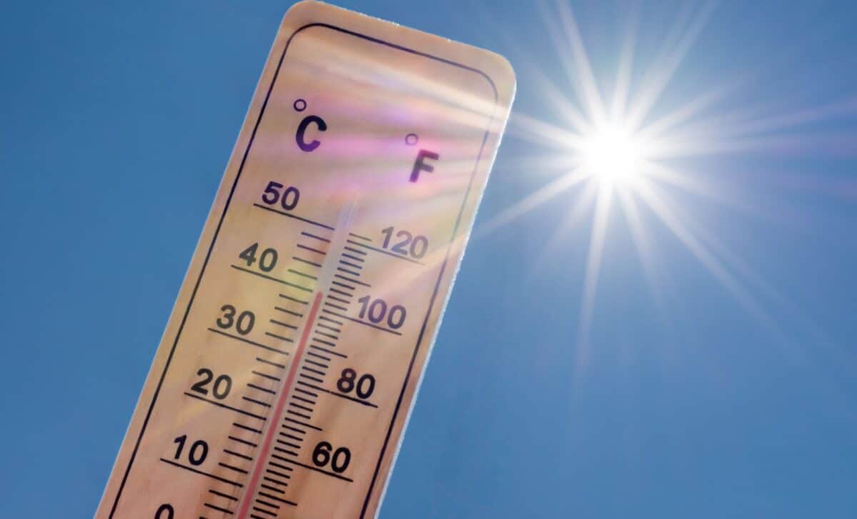
Britain is set to experience its warmest weather of the year this week, with temperatures forecast to reach 24C in parts of south-east England. The brief spell of summer-like conditions will be driven by brisk south-easterly winds drawing warm air in from the European continent.
Record-Breaking Heat Expected Across England and Wales
Temperatures on Tuesday and Wednesday are expected to climb 6 to 10C above average for early April, according to BBC Weather’s lead presenter Simon King. On Tuesday, much of the country will see highs in the high teens and low twenties, with 22C likely across the south Midlands and the west coast of Wales, enough to surpass the previous yearly high of 20.9C, which was recorded on 31 March at Pershore, Worcestershire.
Wednesday is forecast to push temperatures even higher, potentially reaching 23C or 24C across south-east England. Conditions will remain largely sunny throughout England and Wales, though cloud and rain are expected to move into western Scotland, Northern Ireland and Irish Sea coasts during the afternoon.
Tuesday is anticipated to bring mostly clear skies across England and Wales, though cloud will build in Northern Ireland and western Scotland alongside a few showers. The warmth will be widespread enough that much of the population can expect conditions more reminiscent of summer than early spring.
Cooler Conditions Return by Thursday Alongside Saharan Dust
The warm spell is not expected to last. A shift in weather patterns on Thursday will see the south-easterly wind replaced by a cooler north-westerly, with temperatures dropping to between 10 and 14C across most of the country. South-east England will remain slightly milder at around 17C, though King notes this represents temperatures closer to what would typically be expected in early April.
Thursday will also bring a band of rain spreading south-eastward across the UK before clearing from the south-east later in the day. High pressure is then forecast to return on Friday, bringing a largely dry and bright end to the week.
Beyond Britain’s borders, the same heat system is producing exceptional warmth across western Europe. Parts of France could see temperatures approaching 30C, with northern Spain and western Germany forecast to reach the high twenties, some 8 to 12C above the seasonal average.
Alongside the heat, forecasters are tracking the movement of Saharan dust being transported high into the atmosphere across western Europe. The dust is likely to spread into parts of the UK from late Tuesday onwards. According to King, the increased concentration of dust particles suspended in the upper atmosphere can produce more colourful sunrises and sunsets, offering an unusual visual side effect to an already notable weather event. Observers across the country may notice more vivid skies during the mornings and evenings as the week progresses. High pressure is expected to reassert itself heading into the weekend, with broadly settled and dry conditions anticipated.