The UK is bracing for an intense and rare weather phenomenon this weekend, as freezing rain and snowstorms are set to disrupt large parts of the country. According to WX Charts, the worst of the weather is expected on Sunday, February 15. With temperatures plummeting to -8°C, the affected areas face significant risks, particularly for travel and daily activities.
The occurrence of freezing rain, a rare and dangerous phenomenon, is expected to hit Inverness, Wales, and Lincolnshire. This forms part of a broader cold weather event that will bring heavy snow and icy conditions across the UK. Such extreme conditions are likely to affect road safety, aviation, and infrastructure, with the Met Office cautioning of potentially hazardous travel.
Freezing Rain: A Rare and Hazardous Threat
Freezing rain is not an everyday weather occurrence. As WX Charts explains, the phenomenon occurs when rain droplets pass through a layer of cold air and become “supercooled.” Despite the low temperature, the droplets remain in liquid form until they hit surfaces that are also below freezing, causing them to freeze almost instantly. This can lead to dangerous icy conditions on roads, pavements, and vehicles.
The weather maps, which have also been confirmed by Netweather TV, show that areas including Inverness, Wales, and Lincolnshire are at high risk of experiencing freezing rain. This type of precipitation is particularly dangerous for aircraft, as the ice buildup on wings and other critical parts of planes can cause operational issues. For drivers, the risks are similarly severe, with icy roads and reduced visibility making travel hazardous.
According to the Met Office, freezing rain is difficult to predict and can lead to rapid and widespread disruption, particularly when it affects populated areas. While it is not common, such events are becoming more frequent with shifting weather patterns, making preparedness essential for both individuals and local authorities.
Snowstorm to Blanket the UK
Alongside the threat of freezing rain, a significant snowstorm is forecast to hit the UK this Sunday, with the worst conditions expected across northern parts of the country. According to Netweather TV, the snowstorm, often referred to as a “snow bomb,” will affect a vast 500-mile stretch, including Yorkshire, the North East, and East Anglia. The snow is expected to begin in the early hours of Sunday and spread south throughout the day, with accumulations of up to 10cm predicted in higher ground areas like Scotland.
The snowstorm will bring freezing temperatures, with Scotland seeing the coldest conditions, some areas nearing -8°C. While the Midlands and southern England will experience lighter snow, the northern parts of the UK will bear the brunt of the weather, with widespread disruption to transport networks expected. The snowstorm is forecast to last for several hours, with some areas enduring a 17-hour snow alert.
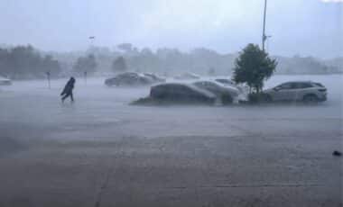
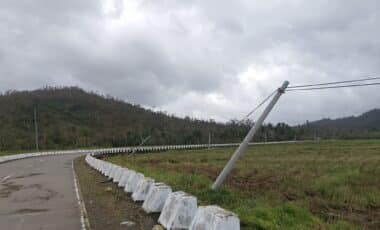
In addition to the snow, strong northerly winds will accompany the cold front, creating blizzard-like conditions in certain areas. This will significantly affect visibility and increase the risk of snowdrifts, further complicating travel. As the storm progresses, temperatures will dip below freezing, leaving roads icy and challenging to navigate.
The combined threat of freezing rain and a widespread snowstorm means that this weekend’s weather is likely to cause substantial disruption. According to Nick Finnis of Netweather TV, while conditions may improve slightly by Monday, the weather’s impact on transport, infrastructure, and daily life will remain a concern, particularly in the north and west.