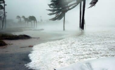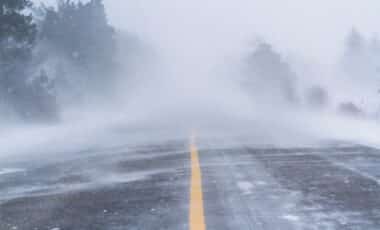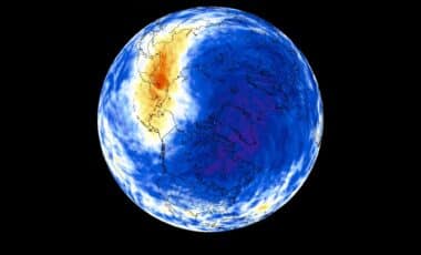
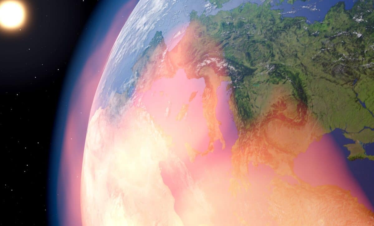
El Niño is a naturally recurring climate pattern that develops every two to seven years when weakened trade winds allow unusually warm surface waters to spread across the central and eastern tropical Pacific. Once established, it alters atmospheric circulation and can influence rainfall, temperatures, and storm tracks in many parts of the world.
Forecast agencies say the event is already underway. According to the World Meteorological Organization (WMO), forecast models show strong agreement that ocean temperatures will continue warming rapidly during the July through September period, increasing the likelihood of heatwaves, drought, heavy rainfall, and other extreme weather events across multiple regions.
Ocean Observations Point to a Rapidly Strengthening Event
Recent observations have reinforced confidence in forecasts issued during the past month. According to the National Oceanic and Atmospheric Administration (NOAA), sea surface temperatures across the central and eastern equatorial Pacific have continued to rise, while subsurface waters contain significantly above-average heat content that supports additional strengthening in the months ahead.
NASA has also documented elevated sea surface heights across the equatorial Pacific using observations from the Sentinel-6 Michael Freilich satellite. The agency explains that warmer ocean water expands as it heats, causing sea levels to rise and providing another indicator that substantial heat is stored beneath the surface.
Earlier this year, NASA scientists observed eastward-moving Kelvin waves transporting warm water beneath the Pacific, reinforcing the developing El Niño. The agency noted that similar processes occurred before the exceptionally strong 1997 event, although scientists emphasized that additional observations are still needed to determine how the current episode ultimately evolves.
Forecast guidance has also become more consistent. According to NOAA’s Geophysical Fluid Dynamics Laboratory, all 30 ensemble simulations in its July experimental forecast produce a peak El Niño strength that is competitive with the strongest events observed during the past century. The laboratory also reported that its July outlook projects a stronger event than the forecast released one month earlier.
Forecasters Expect Weather Patterns to Shift Through Late 2026
Although El Niño develops over the tropical Pacific, its strongest influence on the United States generally emerges during fall and winter as atmospheric circulation responds to warmer ocean conditions.
Seasonal outlooks indicate that the Pacific jet stream could shift southward, increasing storm activity across much of the southern United States while changing precipitation patterns in other parts of the country. According to seasonal guidance cited by Fox Weather from the European Centre for Medium-Range Weather Forecasts, wetter-than-average winter conditions could become more likely along portions of both the East and West coasts.
Historical records associated with strong El Niño winters include increased rainfall across California and the southern United States, greater flooding risk during major winter storms, higher chances of winter storms across parts of the East Coast, and warmer-than-average conditions across sections of the northern United States.
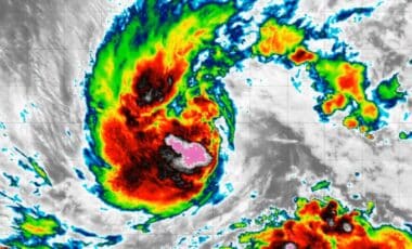
The developing climate pattern may also influence tropical cyclone activity. According to NOAA, El Niño typically suppresses Atlantic hurricane activity by increasing upper-level winds that interfere with storm formation while favoring increased activity in the eastern Pacific. The agency declared El Niño conditions in June and projected a 63 percent probability that the event would reach very strong status between November and January.
The WMO expects the most rapid strengthening to occur during July through September, with the event likely reaching peak intensity between late 2026 and early 2027 before gradually weakening later in the winter and spring.