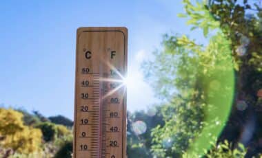
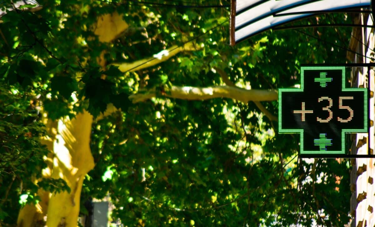
Temperatures reached 37C in Norfolk towards the end of July, close to the UK record of 40.3C recorded at Coningsby, Lincolnshire, in July 2022. The recent heat has also contributed to dry conditions across parts of the country, with drought conditions declared in Wales last week.
The latest Met Office outlook suggests that high pressure could influence weather patterns during parts of August, bringing the possibility of further hot spells, particularly in southern areas.
Forecast Points to Warmer and Drier Conditions in Mid-august
According to the Met Office’s extended forecast covering August 10 to August 24, dry and settled conditions are expected to dominate much of the period, with high pressure likely to affect the UK. The forecast also notes that Atlantic frontal systems could bring interruptions, especially in northern areas, while thunderstorms remain possible in the south.
The agency said rainfall totals are likely to be below normal during this period, while temperatures are expected to be above average. Some spells of hot weather and heatwaves are possible, particularly in southern parts of the country.
The potential August heatwave follows a summer marked by repeated periods of high temperatures. Three heatwaves have already affected the UK between May and July, with the latest hot spell bringing temperatures close to levels seen during previous record-breaking events.
The hot weather has also been linked with increasingly dry conditions. Authorities have reported prolonged dry weather in several areas, with Wales declaring drought conditions last week.
Early August Weather Set to Shift before Possible Hot Spell
Before the possible heatwave window, the Met Office expects a more mixed start to August. Its medium-range forecast from July 31 to August 9 suggests temperatures will vary across the country, with warmer conditions expected in the south-east.
According to the Met Office, temperatures are expected to range from around average in the north-west to warm in the south-east, with the south-east potentially becoming very warm during the weekend.
The forecast also indicates that conditions may become more changeable afterwards, with an area of low pressure possibly moving close to or across the UK early in August. This could bring periods of heavy rain and some strong winds before conditions potentially become more settled again towards the end of the first week of August.
The immediate outlook remains cooler in some areas after a wet weekend on July 26. Rain is expected to continue across northern England, while southern regions are forecast to stay drier with temperatures closer to seasonal averages.
On July 27, the Met Office expected maximum temperatures of 25C in London, 19C in Edinburgh, 21C in Cardiff and Belfast, and 19C in Manchester with rainfall. The possible August heatwave remains part of a longer period of unsettled summer weather patterns, with forecasts continuing to monitor changes in temperature, rainfall and pressure systems across the UK.