As Easter weekend approaches, the UK braces for a powerful storm that promises to bring snow, strong winds, and disruption. Named Storm Dave, this weather event will not only dominate the holiday period but also potentially affect millions of people with blizzard-like conditions and significant snow accumulation. The Met Office’s latest warnings highlight the specific areas that are likely to face these extreme conditions, including large parts of Scotland, and travelers are urged to prepare for the potential chaos.
The Storm’s Approach: What to Expect
The weekend’s weather will be dominated by Storm Dave, which is set to impact the UK with a blend of snow, sleet, and strong winds. The storm will start on Saturday afternoon, bringing rain from the south. As it meets the colder air over central and northwest Scotland, rain is expected to turn into sleet and snow, especially over higher elevations. While snow will initially fall lightly, the weather will worsen as the day progresses. By evening, the snow will intensify, leading to blizzard conditions across northern Scotland.
Blizzard-like conditions will be especially severe across the hills and mountains of the northwest of Scotland. The Met Office warns that snow could accumulate rapidly, with up to 20 cm of snow expected in some areas, especially above 200 meters in elevation. Visibility will be drastically reduced, and dangerous driving conditions are likely. It’s crucial for people to stay updated on weather forecasts, especially if they are planning to travel in these regions.
Yellow Snow Warning: Areas Most Affected
The Met Office has issued a yellow snow warning for areas across Scotland, covering a 12-hour window from 3 PM on Saturday to 3 AM on Easter Sunday. The warning includes a range of regions, such as Central Scotland, Tayside, Fife, and the Highlands. The snow will be heaviest in the northwest and may cause disruption to transport services.
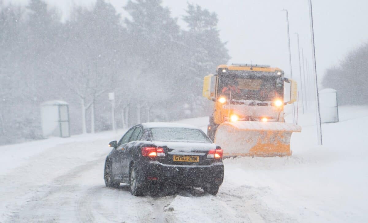
The snow is expected to accumulate primarily above 200 meters, where between 5-10 cm is possible, with the potential for higher amounts in more mountainous areas. This will lead to dangerous driving conditions, especially on higher roads. The risk of power outages is also significant, with snowdrifts and strong winds potentially causing trees and power lines to be damaged.

Image: Met Office
Regions Affected by the Snow Warning Include:
- Central, Tayside & Fife
- Perth and Kinross
- Stirling
- Grampian
- Aberdeenshire
- Moray
- Highlands & Eilean Siar
- Strathclyde
- Argyll and Bute
Wind Warnings: Severe Gusts Expected
In addition to snow, the Met Office has issued wind warnings for large swathes of the UK, including Scotland, Northern Ireland, and parts of England. The powerful winds associated with Storm Dave will reach gusts of up to 90 mph, particularly in coastal and exposed areas. These winds will likely cause disruptions to travel, with delays expected on both rail and air services.
A yellow wind warning is in effect for Northern Ireland from 2 PM on Saturday until 2 AM Sunday. Other areas, including the North East, North West, North Wales, and parts of Yorkshire and the Humber, will experience strong gusts starting from 5 PM on Saturday. The winds could cause trees to fall, damage structures, and pose a danger to pedestrians and cyclists.
Travel Disruptions: Prepare for Chaos
As with any severe weather event, travel disruptions are a key concern. Snow, sleet, and ice will make roads hazardous, and public transport will likely face significant delays. Rail services could be delayed or canceled in affected regions, particularly in Scotland and northern England, where the worst snow and winds are expected. Air travel may also be impacted, with cancellations or delays at airports due to the combination of snow and high winds.
Travelers are advised to keep a close eye on the latest weather forecasts and prepare for potential disruptions. It’s wise to have an emergency kit in your car if you’re traveling in the affected areas, as conditions may deteriorate quickly.