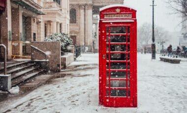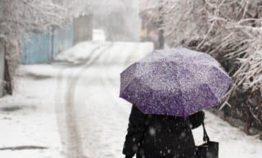
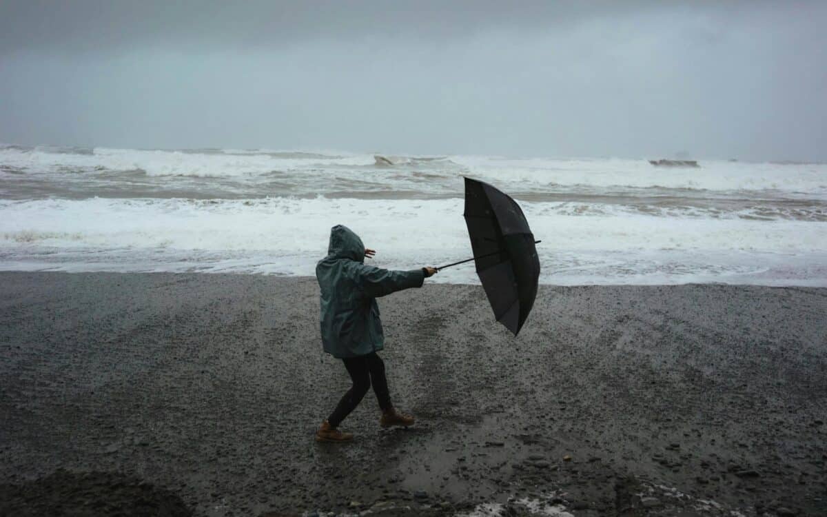
Britain faces a potentially stormy second half of October as Atlantic weather systems threaten to replace recent warmth with rain, stronger winds, and colder nights. London is already experiencing a sharp temperature drop, with more unsettled conditions expected across the country.
London Temperatures Drop After an Unseasonably Warm Spell
London’s recent warmth is giving way to a cooler weekend, with daytime temperatures expected to reach just 14°C (57°F) on Saturday and 13°C (55°F) on Sunday.
The change follows a period of unusually mild weather that saw the capital record 21°C (70°F) on Thursday.
Northerly breezes will make the weekend feel colder than thermometer readings suggest. Apparent temperatures are forecast to reach no higher than 12°C (54°F) on Saturday and 11°C (52°F) on Sunday.
The cooling trend marks a noticeable departure from the conditions London experienced earlier in the week. It also comes as forecasters identify a broader shift toward more changeable weather across Britain.
In the sunshine today temperatures will climb to around the mid October average There will be a northerly breeze blowing though, especially in the east and southeast, which will make it feel somewhat colder 🌡️ https://t.co/LZ91TSxAoX
— Met Office (@metoffice) October 17, 2026
Met Office Warns That Atlantic Storms Could Develop
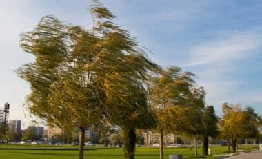
According to The Met Office, the likelihood of unsettled conditions is increasing through the remainder of October, with weather systems moving in from the Atlantic Ocean bringing periods of rain and wind.
The agency’s long-range outlook suggests that the emerging pattern could persist rather than give way to another prolonged spell of settled weather.
The Met Office says:
“While there is still a chance that high pressure will build near the UK again during late October, it is more likely that the changeable or unsettled regime will continue once established.”
The forecast also raises the possibility of more severe conditions:
“It is possible that stormy weather may also develop at times.”
This does not confirm that a named storm will strike Britain. It indicates that atmospheric conditions could become favorable for storm development during the coming weeks.
Despite the increasingly unsettled outlook, temperatures are not expected to remain consistently cold.
“Temperatures are likely to be near or a little above normal overall, with mild spells likely at times, especially towards the south.”
The forecast also points to brief colder intervals between passing weather systems.
“In between frontal systems, colder nights are possible, with a touch of frost.”
El Niño Raises Concerns About a Wetter Autumn and Winter
The prospect of stormier weather comes amid forecasts of a powerful El Niño event developing in the tropical Pacific Ocean.
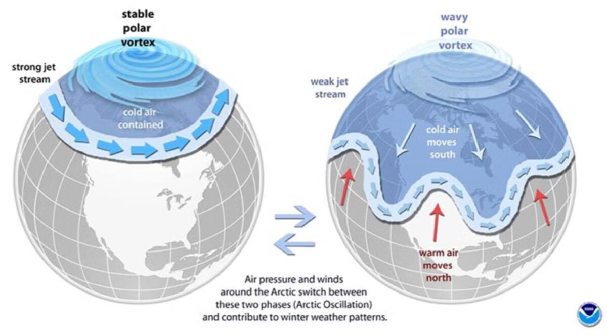
El Niño involves unusually warm surface waters in the central and eastern equatorial Pacific. Its effects can influence atmospheric circulation and weather patterns far beyond the region.
Ian Lisk, Chief Meteorologist at the Met Office, previously highlighted the potential implications for Britain.
“The latest seasonal forecasts suggest an increased likelihood of wetter than average conditions as we move through autumn, which would be consistent with the historical influence of El Niño events.”
The relationship between El Niño and British weather is complex. The phenomenon can shift the probability of certain seasonal conditions, but it does not determine the timing or intensity of individual storms.
Forecasters See a Milder, Wetter Start to Winter
Scientists at the European Centre for Medium-Range Weather Forecasts (ECMWF) have also identified a greater likelihood of unsettled winter conditions affecting London.
Tim Stockdale, a scientist at the center, described the expected seasonal pattern:
“There’s an expectation of the first part of the winter being milder, wetter and windier.”
The wider Pacific climate pattern has attracted attention from international meteorological agencies.
Celeste Saulo, Secretary-General of the World Meteorological Organization (WMO), said El Niño was “strengthening rapidly” and appeared likely to become one of the strongest events recorded in the previous 70 years.