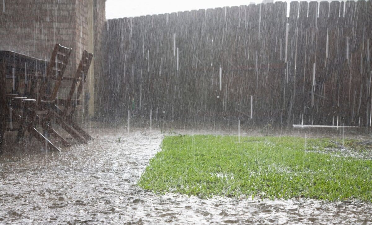
The Met Office has issued an amber weather warning as Storm Austen approaches Britain, bringing the threat of damaging winds, heavy rain and widespread travel disruption. Gusts could reach 80mph in exposed coastal areas, with forecasters warning of a possible danger to life.
The first named storm of the 2026/27 season is expected to affect southern Britain from Thursday night into Friday, October 23. Cornwall, the Isles of Scilly and parts of west Devon face the most severe conditions, while broader warnings cover southern England and Wales.
Storm Austen Set to Bring 80mph Gusts Across South West England
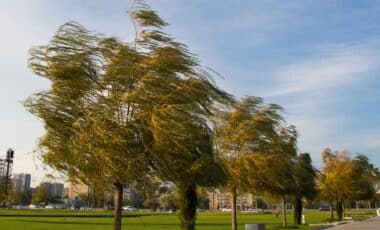
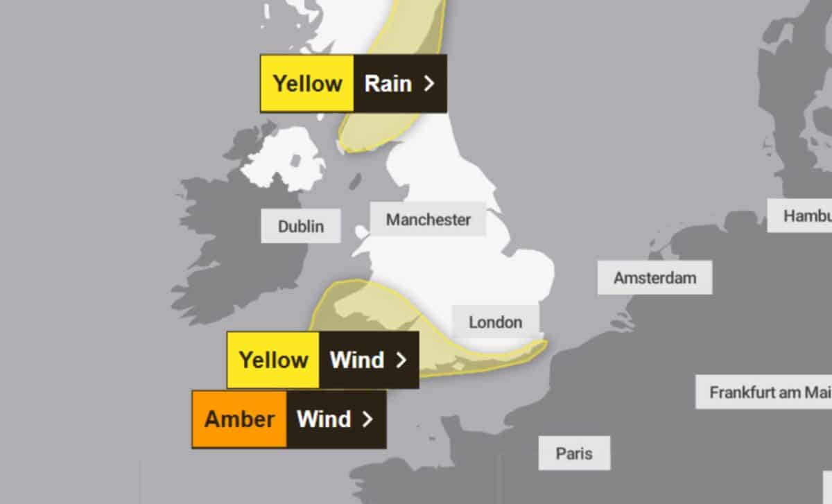
According to the Met Office, the amber wind warning will remain in force from 3am until 10am on Friday, covering Cornwall, the Isles of Scilly and parts of west Devon, including Plymouth. A period of exceptionally strong northwesterly winds is forecast to develop on Friday morning, with gusts of 60–70mph expected widely across the affected region. Exposed headlands could experience winds reaching approximately 80mph.
The storm is currently developing over the Atlantic and is expected to intensify as it approaches the UK. Its strongest winds are forecast to arrive early on Friday, particularly along the northern and western coasts of Cornwall.
Met Office Deputy Chief Forecaster Chris Bulmer said: “Storm Austen is expected to bring a spell of impactful weather to parts of the UK from Thursday night and through Friday.” He explained that uncertainty remains over the storm’s precise track, although confidence has increased in the likelihood of disruptive winds across south-west England.
The amber warning indicates a high likelihood of significant disruption. A wider yellow wind warning also covers southern England and south Wales, where gusts of 50–60mph are expected, with stronger winds possible in exposed coastal locations. Forecasters expect winds to gradually weaken through Friday afternoon and evening, although unsettled conditions are likely to continue beyond the storm’s passage.
Met Office Warns of Power Cuts, Travel Disruption and Coastal Dangers
The arrival of Storm Austen could cause considerable disruption to transport networks, with road, rail, air and ferry services potentially affected by the strongest winds.
According to BBC Weather, the Met Office has warned that flying debris could cause injuries or endanger lives, while damage to buildings and interruptions to electricity supplies are also possible.
Some roads and bridges may close, and damaged infrastructure could affect other essential services, including mobile phone coverage. Roof tiles could be dislodged by powerful gusts.
Coastal communities face additional hazards from large waves and material thrown onto roads, seafronts and nearby properties.
The Met Office has advised people within the amber warning area to remain indoors where possible and avoid sheltering close to buildings or trees during strong winds. The RNLI has also urged coastal visitors to maintain a safe distance from the water, warning that powerful waves could knock people off their feet or sweep them into the sea.