The first named storm of the 2026–27 season is developing from an area of low pressure over the Atlantic. Its arrival comes as parts of southern England continue to experience severe drought conditions following Britain’s hottest summer on record.
Storm Austen Brings 70mph Wind Threat and Widespread Weather Warnings
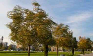
The Met Office has issued a yellow wind warning from midnight on Thursday until midday on Friday, covering parts of London, south-east England, south-west England, south Wales and the West Midlands. Winds of 50–60mph are expected across much of the warning area, while the most exposed coastal locations could experience gusts exceeding 70mph.
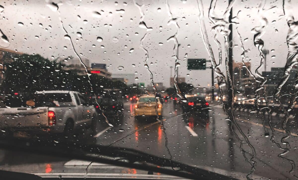
The storm is forecast to move from west to east throughout Friday, with the strongest conditions expected during the morning. Winds should begin easing towards late morning and early afternoon, although unsettled weather is likely to continue. Rainfall totals of 20–30mm are forecast in many areas, with greater amounts possible over higher ground in western and northern parts of the country.
Met Office Deputy Chief Forecaster Tom Crabtree said the storm’s precise track remained uncertain, although forecasters were confident that disruptive weather was approaching. “While the exact track and position of Storm Austen is still being determined, what’s clear is that we have an impactful period of weather on the way and the potential for disruption in places,” he said.
The warning identifies possible disruption to public transport, electricity supplies and buildings, alongside a small risk of injuries from flying debris.
According to the Daily Mail, AA spokesperson Tony Rich has urged motorists travelling during the October half-term period to monitor weather updates, particularly when driving on exposed roads or towing caravans and trailers. Further periods of wind and rain are expected over the weekend and into the beginning of next week.
Heavy Rainfall Approaches Drought-Hit Regions After Record Summer Heat
Storm Austen’s arrival follows months of unusually warm and dry weather across Britain, leaving several southern counties facing serious water shortages. According to the same source, the Environment Agency declared severe drought conditions last week in Cornwall, Devon, Dorset, Somerset, East Sussex and West Sussex.
Reservoir storage across Devon and Cornwall has fallen to 31% overall, while individual reservoirs have recorded particularly low levels. Sithians reservoir in Cornwall stands at 21% capacity, compared with 44% a year earlier. Roadford reservoir has fallen to 35% , down from 60% over the same period.
South West Water introduced a hosepipe ban in August and is considering further restrictions affecting businesses, including car washes and window cleaners. The prolonged heat has also affected agriculture. At Burrow Hill Cider in Somerset, the apple harvest is approximately 50% lower than last year’s, with premature ripening and fruit dropping from drought-stressed trees.
Storm Austen is the first named storm since the new season began in September. Its arrival marks a sharp change from the extended summer warmth, with strong winds and persistent rainfall now dominating the forecast for southern Britain.