Britain may be heading for one last stretch of unusually warm September weather, with The Met Office forecasting a strengthening area of high pressure that could push temperatures into the upper 20s Celsius across southern parts of the UK. The developing pattern raises the possibility that some locations could approach official heatwave thresholds before more typical autumn conditions become established.
High Pressure Could Bring A Major Shift In The Weather
After a period of more unsettled conditions, the atmosphere over the UK is expected to undergo a marked change as high pressure expands across the country. The developing pattern should suppress rainfall across many areas and allow longer periods of sunshine to emerge, creating conditions that favor a steady rise in daytime temperatures. Rather than an abrupt burst of intense heat, forecasts point toward a gradual warming trend as the settled pattern becomes established. Southern areas are currently positioned to experience the highest temperatures, while parts of the northwest may remain exposed to more variable Atlantic weather. The contrast could leave Britain divided between unusually warm sunshine in the south and somewhat less settled conditions farther north. Even so, much of the country could experience temperatures above the seasonal norm as September approaches its final days. The persistence of the high-pressure system will be one of the main factors determining just how warm conditions become and whether the warmth lasts long enough to qualify officially as a heatwave.

©Shutterstock
The Met Office said: “High pressure will then build across the UK alongside this warmer air during the latter part of the weekend and into next week. This would mean a transition to predominantly dry and bright conditions, with sunny spells becoming more widespread. Northwestern Scotland may remain more changeable and therefore less likely to share fully in the settled pattern.”
That forecast indicates that the emerging spell will be defined as much by dry and sunny weather as by rising temperatures. High pressure typically limits the formation of widespread rain-bearing cloud, allowing stronger daytime sunshine where skies remain clear. During late September, the shortening days limit the amount of solar heating available compared with midsummer, but sustained sunshine combined with warmer air moving into the country can still produce temperatures well above average. The most settled conditions are expected to develop as the new week progresses, creating a window in which temperatures could climb on successive days rather than peaking immediately.
Temperatures Could Reach The Upper 20s In Southern Britain
The warming trend is expected to become increasingly noticeable once the remaining showers fade and high pressure takes firmer control. The southern half of the UK appears most likely to experience the strongest warming, with forecast highs potentially reaching the upper 20s Celsius toward the end of the week. Such readings would be striking for late September, when average daytime temperatures are already beginning their seasonal decline. The timing also matters because the warmth would arrive only days before the calendar moves into October, giving parts of Britain an unusually summery feel deep into the early autumn period. Forecast uncertainty naturally increases several days ahead, meaning the exact location and magnitude of the highest temperatures could still shift. Cloud cover, wind direction and the precise position of the high-pressure center will all influence local temperatures. Yet the wider pattern currently favors a warmer and more settled spell across a substantial part of the country.
The Met Office continued: “After a few fading showers on Sunday and Monday, a ridge of high pressure is expected to build across the UK, paving the way for increasingly settled conditions into the middle of next week.
“Temperatures are forecast to climb steadily rather than surge dramatically, with warm sunshine helping values rise from day to day.
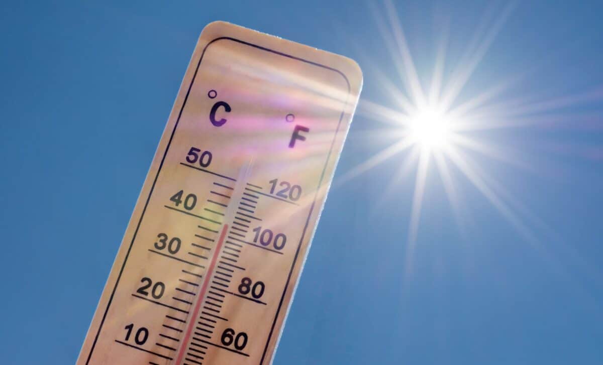
“The highest temperatures are most likely across southern parts of the UK, where current forecasts suggest highs could reach the upper 20s by the end of next week.
“While confidence is lower further north, much of the country is likely to see a spell of warmer-than-average weather as high pressure remains in control.
“These temperatures would be notably warm for late September and could offer a final taste of summer before autumn becomes more firmly established.”
The emphasis on a steady temperature increase is significant because it suggests the warmest conditions may not arrive immediately. Each successive day under relatively clear skies could build on the settled pattern, especially if warmer air continues to circulate around the high-pressure system. Nights will still be longer than they were during the height of summer, meaning temperatures can fall more substantially after sunset, but daytime sunshine may be sufficient to send afternoon highs well above the late-September norm. The warmest areas are likely to be those that combine prolonged sunshine, light winds and favorable airflow, particularly across southern and southeastern England.
A Heatwave Is Possible, But The Definition Is Strict
Warm weather alone does not automatically mean Britain is experiencing a heatwave. The UK uses location-specific temperature thresholds, and those limits must be reached or exceeded on at least three consecutive days before an official heatwave can be recorded. The threshold varies considerably depending on geography because normal summer temperatures differ across the country. In London, the qualifying level is 28°C, while the threshold falls to 25°C across Scotland and parts of northern and southwestern England. This means a temperature sequence that qualifies as a heatwave in one part of Britain may fall short of the definition somewhere else.
That distinction becomes especially relevant when forecasts are predicting temperatures in the upper 20s. A southern location could experience several remarkably warm days without necessarily meeting its local threshold for the required three-day period. At the same time, a location with a lower threshold could technically record a heatwave at cooler absolute temperatures if the warmth persists. The duration of the upcoming spell is therefore as important as its peak. A single unusually warm afternoon would not be enough. Forecasters will need to see where the warmest air settles, how long the high-pressure system remains in place and whether cloud or changes in wind direction interrupt the run of high temperatures.
The possibility remains open because the expected atmospheric setup could provide the persistence required. With high pressure limiting major weather disturbances, temperatures may have several days to rise and remain elevated. Yet subtle shifts in the system could still prevent the official criteria from being reached. A cooler breeze from the North Sea, an increase in cloud or a faster breakdown of the high could all keep temperatures just below the necessary threshold. That is why the forecast can point toward an unusually warm period while stopping short of declaring that another heatwave will occur.
Why Late September Warmth Can Still Develop
Periods of significant warmth near the end of September are entirely possible when the large-scale atmospheric pattern favors the transport of mild or warm air toward the UK. High pressure can play a central role by producing lighter winds, fewer showers and longer sunny spells, especially when its position allows relatively warm air to move northward. The ground and surrounding seas also retain some of the warmth accumulated during summer, meaning the transition into autumn does not happen abruptly once September begins.
What makes the upcoming pattern noteworthy is the combination of season and persistence. By late September, the sun is lower in the sky and daylight hours are shrinking rapidly, reducing the energy available to warm the surface. Reaching the upper 20s therefore requires a favorable set of circumstances. Clear skies during the day, limited wind, dry ground in some locations and a sufficiently warm air mass can work together to overcome some of the seasonal cooling. The result can be afternoons that feel far more like summer than the calendar would suggest, even when mornings and evenings remain noticeably cooler.
This distinction may become particularly obvious during the expected settled spell. Residents could encounter relatively fresh starts followed by surprisingly warm afternoons, producing large differences between daytime and nighttime temperatures. Conditions may also vary substantially over short distances. Coastal districts exposed to onshore breezes can remain cooler than inland areas, while urban centers often hold onto warmth longer after sunset. Those local effects will become clearer as shorter-range forecasts refine the position of the warmest air.
The Met Office Says A Final Heatwave Remains Possible
The key uncertainty is whether temperatures remain high enough for long enough to cross the formal heatwave threshold. Current guidance strongly supports the arrival of a warmer, drier and calmer period, but the precise temperature sequence is less certain. Forecast models become more sensitive to small atmospheric changes as they extend farther into the future, and a shift of only a few degrees can determine whether a location officially records a heatwave or simply experiences an unusually warm spell.
The Met Office concluded: “The clearest signal in the forecast is for warmer, drier and more settled weather to develop through next week as high pressure becomes the dominant feature across the UK.
“Following the arrival of calmer conditions on Monday, temperatures are expected to build gradually, with the warmest weather likely towards the end of the week.
“However, it remains to be seen whether official heatwave thresholds will be met, as these vary across the UK and depend on both the temperatures reached and how long they persist.
“Nevertheless, with high pressure expected to remain influential and temperatures continuing to climb, the prospect of one final heatwave before the end of the month is certainly not out of the question.”
For now, the clearest forecast signal is not an officially declared heatwave but an extended change toward settled, warmer-than-average weather. Much of the UK could see more sunshine and fewer showers, while southern areas stand the best chance of recording the highest temperatures. If the warm air remains in place for several consecutive days, some regions may ultimately satisfy the formal definition. If temperatures fall just short, Britain could still experience an unusually warm final chapter to September.
A Final Taste Of Summer Before Autumn Takes Hold
The developing weather pattern arrives at a point when Britain would normally be moving more decisively toward cooler autumn conditions. Instead, high pressure could temporarily delay that transition by bringing back widespread sunshine and afternoon temperatures associated more closely with summer. The episode is unlikely to erase the seasonal signals already appearing across the country: nights are lengthening, mornings are becoming cooler and the sun is losing strength each day. Yet during the warmest afternoons, particularly in southern Britain, those changes may be temporarily difficult to notice.
Whether the period ultimately enters the records as another official heatwave will depend on the exact temperatures observed over consecutive days. The forecast already suggests something more certain: late September could end on a notably warm and settled note across large parts of the UK. After a summer marked by periods of exceptional heat, the coming days may provide one more spell of sunshine before the seasonal pattern shifts more firmly toward autumn.