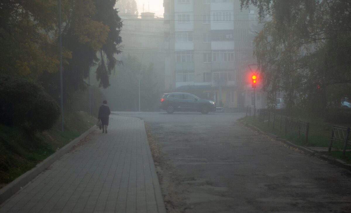
The warning came into force at 6pm on Sunday, 8 November, and remains in place until 11am on Monday, 9 November. It covers a broad area stretching from York to Bath, including much of eastern England and the South East, as well as parts of Wales and Northern Ireland.
Forecasters say a combination of clear skies, light winds and longer autumn nights has created favourable conditions for fog formation. According to the Met Office, some rural areas could experience particularly persistent fog as overnight temperatures approach freezing, making Monday’s morning commute difficult for motorists and other travellers.
Dense Fog Threatens Travel Across Large Parts of the Country
The yellow warning identifies areas where fog is expected to be particularly dense, although reduced visibility is also possible beyond its boundaries. The Midlands, East Anglia and rural parts of Wales are among the areas where conditions could remain difficult into Monday morning.
According to Sky News, visibility could fall to 50 metres or less in some locations, creating potentially hazardous driving conditions. Motorists have been advised to allow additional time for journeys, maintain greater distances from vehicles ahead and use fog lights when visibility drops below 100 metres.
Drivers are also being warned against using full-beam headlights, as the light can reflect off fog and make it harder to see the road ahead.
The conditions could affect other forms of transport. Bus and train passengers may face slower journeys or delays, while airports could experience disruption to flights, including possible cancellations.
The warnings follow a serious incident on the M20 in Kent on Saturday, when more than 30 vehicles were involved in a collision during thick fog. Two people were seriously injured, and part of the motorway was closed.
Met Office operational meteorologist Niamh Murray said fog could develop across other parts of the country, including the West Country, Northern Ireland and central Scotland, although conditions outside the warning area were expected to be less severe.
Forecasters Explain the Conditions Behind the Persistent Fog
Meteorologists have attributed the widespread fog to a combination of seasonal cooling, relatively calm winds and clear skies.
According to The Independent, Murray described the current atmospheric conditions as the “perfect recipe” for fog, explaining that longer autumn and winter nights allow temperatures to fall for extended periods.
As the air cools, it approaches the temperature at which moisture becomes saturated, allowing fog to develop. Light winds also contribute to the process, while temperatures below freezing can make fog particularly difficult to clear the following day.
Sky News forecaster Kirsty McCabe said an area of high pressure over the UK had trapped mist and murky conditions, making the fog harder to disperse. Smoke from bonfires and fireworks could further reduce visibility.
Looking beyond Monday, forecasters expect rainfall between Tuesday and Thursday, bringing a change in conditions. Murray said most locations could receive between 10 and 20mm of rain, with some areas potentially experiencing 30mm.
In the South West, where the Environment Agency has declared severe drought, slow-moving rainfall could produce accumulations of between 50 and 70mm. McCabe also indicated that northerly winds later in the week could shift attention from fog towards frost, following several nights of reduced visibility across the country.