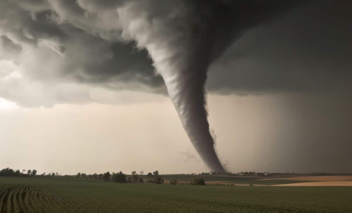
Arizona has experienced some of the most immediate threats, with tornado warnings issued near Flagstaff and severe thunderstorms developing across the state. Southern California, Utah and neighboring states are also preparing for flooding, hail and strong winds as the system moves northward.
Tornado Warnings and Flash Flooding Threaten the Southwest
According to the Daily Mail, the National Weather Service (NWS) issued tornado warnings around Flagstaff, Arizona, after thunderstorms became capable of producing tornadoes strong enough to damage roofs and destroy mobile homes.
Meteorologists warned that isolated tornadoes could also develop in Southern California and Utah. In the Los Angeles area, residents were placed under a flood watch, with rainfall totals potentially reaching three inches. Forecasters also identified the possibility of small hail, offshore waterspouts and a brief tornado over land.
AccuWeather senior meteorologist Adam Douty said the heaviest rainfall in Southern California was expected between Wednesday evening and early Thursday morning.
Flood watches were also issued across Arizona, New Mexico, Utah and southwestern Colorado. Nevada, Oregon, Wyoming and Idaho could experience thunderstorms and flash flooding as the weather system progresses northward through Thursday night. Arizona faces a particularly significant thunderstorm threat, especially around Phoenix, Tucson and Flagstaff, where conditions could support the development of supercells.
In Prescott, less than 80 miles north of Phoenix, severe thunderstorm warnings prompted authorities to urge people outdoors to seek shelter immediately. The NWS warned that hail could damage buildings and vehicles, while strong winds could affect roofs, siding and trees.
Forecasters predicted wind gusts between 60 and 70 mph across Arizona, Colorado, New Mexico and Utah. AccuWeather’s worst-case scenarios indicated gusts could reach 80 mph, comparable to the wind speed of a Category 1 hurricane.
Pacific Storm System Draws Moisture From Hurricane Trudy
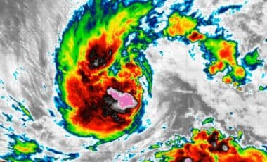
The widespread storms are being driven by an upper-level low-pressure system moving inland from the Pacific Ocean. The system is drawing additional tropical moisture from the remnants of Hurricane Trudy off Mexico’s coast.
According to AccuWeather, the combination of moisture, unstable atmospheric conditions and wind shear is helping produce intense rainfall and severe thunderstorms. Wind shear occurs when winds change speed or direction at different atmospheric levels.
Southern California has already experienced substantial rainfall. The NWS office in Los Angeles reported rainfall rates reaching 0.80 inches per hour near Santa Barbara, urging motorists to drive carefully and consider postponing travel.
Authorities also warned drivers against entering flooded roads, emphasizing that most flood-related deaths occur in vehicles. Las Vegas is another area expected to receive additional rainfall. According to Douty, the city had recorded 1.19 inches through Tuesday, nearly four times its historical October average.
The approaching system is expected to add to that total as thunderstorms continue across the Southwest. With flood alerts extending across several states and severe thunderstorms remaining possible, weather officials are urging residents to monitor warnings and seek shelter when dangerous conditions develop.