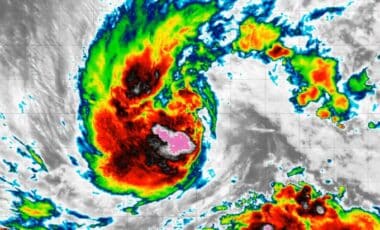
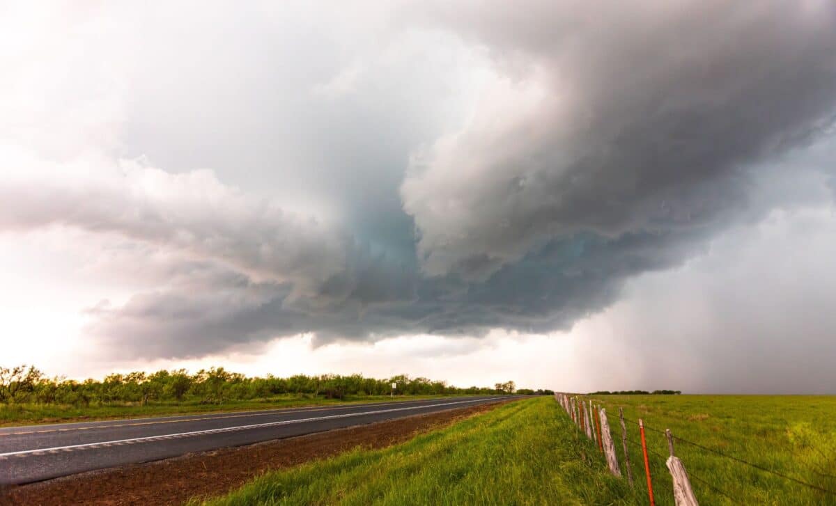
The pattern is already developing across the equatorial Pacific, where warmer-than-average ocean temperatures are altering atmospheric circulation. Its strongest and most widespread effects in North America are expected later in the year, when interactions between the northern and southern jet streams allow El Niño to exert a greater influence on weather.
According to Newsweek, AccuWeather said confidence that the event will reach the threshold commonly described as a “super El Niño” is near 100 per cent. NOAA does not formally use that term, instead classifying events as strong or very strong, but its outlook indicates the developing El Niño could reach the very strong category by winter.
The First Regional Effects Could Emerge From October
Some signs associated with the developing El Niño may already be appearing, although forecasters caution against attributing individual events directly to the climate pattern. AccuWeather long-range forecaster Paul Pastelok told Newsweek that drought and fires across the Pacific Northwest and Rocky Mountains could have been influenced by warming Pacific waters. Dry spells across parts of the central United States in July, including Iowa and Nebraska, may also have had some connection, although he said they were unlikely to represent the more direct effects expected during the cooler season.
The more recognisable shift could begin in the Southwest and across the region from Texas to the Tennessee Valley from late October into November. Pastelok said an increase in upper-level low-pressure systems would raise the likelihood of rain and flooding in those areas. “That’s the first sign of El Niño picking up,” he said.
At roughly the same stage of autumn, drier conditions are expected to become more evident across the Great Lakes and Upper Midwest. Florida and southern Georgia could see an increase in severe weather from November, with Jacksonville, Tampa and Orlando facing tornado risks. Southern California may also begin seeing heavier rainfall at lower elevations during November, with that pattern becoming more prolific in December.
Winter Forecasts Show the Classic El Niño Divide
The seasonal outlook becomes clearer as winter approaches. El Niño typically pushes the jet stream south of its usual position, favouring wetter and cooler conditions across southern parts of the United States while northern regions tend to become warmer and drier.
According to CNN, NOAA’s Climate Prediction Center outlook for December 2026 through February 2027 shows the highest probabilities of above-average temperatures across the northern tier, including the Pacific Northwest and Midwest. Warmer-than-normal conditions are possible across more than half of the Lower 48.
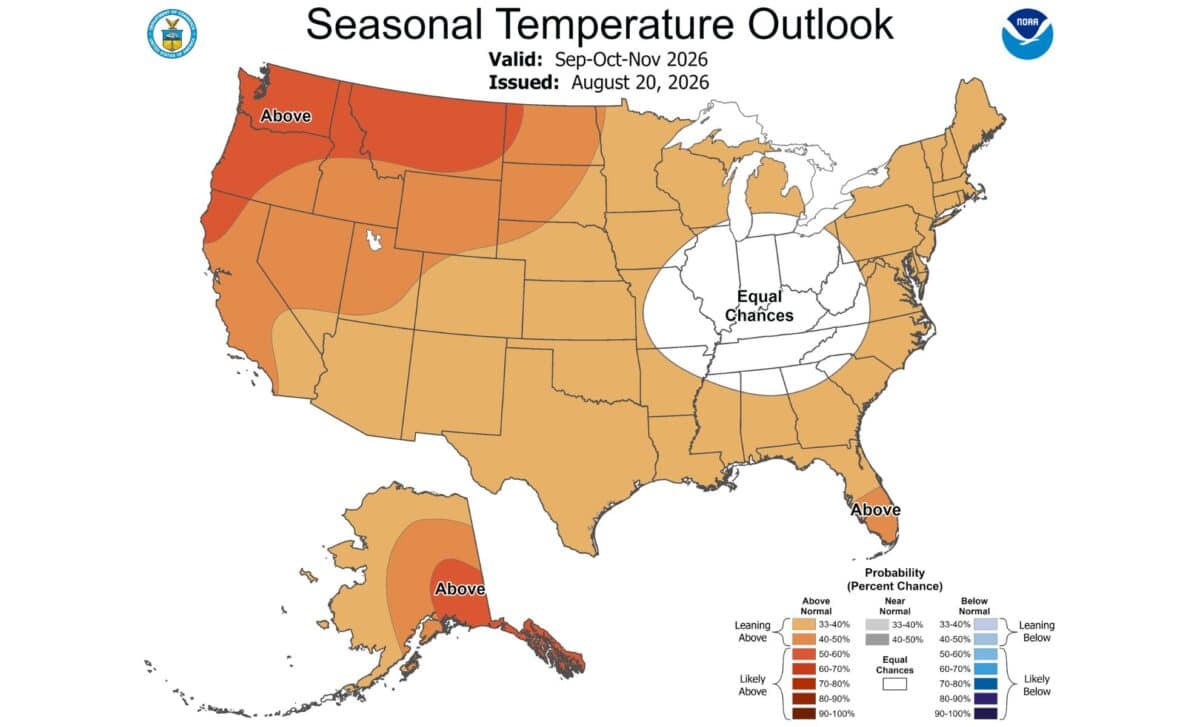
The precipitation outlook shows a different pattern. Wetter-than-normal conditions are possible across Southern California, the southern tier and the East Coast, with the highest confidence centred on the Southeast. Drier-than-normal conditions are concentrated mainly across the northern tier.
Snowfall prospects also vary sharply by region. Newsweek reported that California and Utah may be among the better-positioned states for above-average mountain snowfall, while Oregon, Montana and parts of the northern Rockies could receive less snow than average in a typical strong El Niño pattern.
The Midwest, Great Lakes, northern United States and Northeast are also expected to record below-average snowfall overall. At lower elevations, warmer temperatures could cause a larger share of winter precipitation to fall as rain rather than snow. According to The Hill, the 2026-2027 El Niño is expected to reach maximum strength in late autumn or early winter, when its influence on US weather patterns is likely to be strongest.