A vast cluster of thunderstorms has gathered over the Gulf of Mexico, and meteorologists are watching it closely. Forecasters expect the system to drift north-west and soak Louisiana, Mississippi and Alabama from Friday into the weekend. A fully fledged tropical storm, however, is not on the cards.
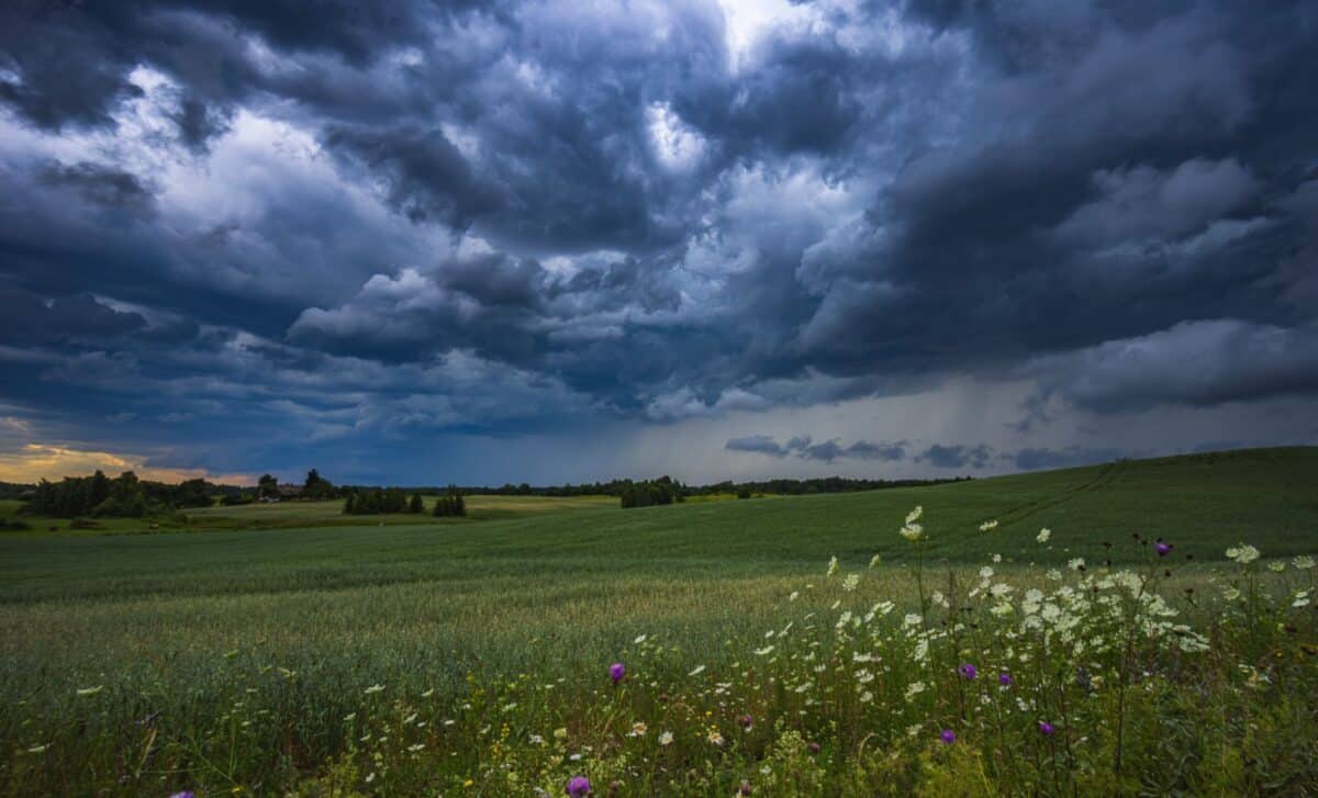
Few things unsettle the public quite like an “ominous blob” looming on a satellite map, and that, more or less, is how one observer described the system now sitting in the Gulf. The disturbance (informally christened the “Gulf blob” by weather watchers) is large, untidy and hard to ignore. For now it lingers nearer to Florida.
Appearances, though, can mislead. According to forecasters, the Gulf is “a spot to watch”, yet the system is unlikely to organise into anything resembling a named tropical storm. It is, in plain terms, a disorganised mass of thunderstorms and tropical moisture spread across the Gulf, and that, rather than a tidy cyclone, is what makes its rainfall worth taking seriously.
A Weekend of Heavy Rain, Wind and Coastal Flooding
The chief worry is water. Repeated rounds of thunderstorms could deliver intense downpours, with several inches of rain falling over short stretches of time. That, forecasters warn, is the kind of rainfall that triggers localised flooding, particularly across low-lying and poorly drained ground.
According to AccuWeather meteorologists, “localized urban flooding is possible, perhaps in New Orleans”, and a few waterspouts may drift ashore along area beaches. FOX Weather, for its part, has singled out New Orleans, Biloxi and Gulfport as the cities most likely to see the heaviest rain.
The coast faces its own hazards. Even without tropical status, the system is expected to bring coastal flooding, rough surf and life-threatening rip currents to parts of Louisiana and Mississippi. Strong winds were forecast to build across the Gulf Coast from Thursday, with gusts of up to 40mph capable of churning the surf and pushing water onto shorelines at high tide.
The timing is awkward. The Southeast is already waterlogged after weeks of drenching storms, and officials have issued coastal flood advisories from Louisiana to Mississippi, cautioning that rising water could swamp parks, car parks and other low-lying spots.
As for the absence of tropical development, the explanation is simple. The National Hurricane Center, meteorologist Dylan Federico of Florida’s WSVN 7 News noted, does not expect the system to develop tropically because of strong wind shear.
An Early Test for a Young Hurricane Season
The blob has surfaced just as the Atlantic hurricane season gets under way, a stretch that runs until 30 November. The first named storms on this year’s list are Arthur, Bertha, Cristobal and Dolly, none of which has yet appeared.
The wider outlook is mixed. According to NOAA, the season should be below normal, with three to six hurricanes carrying winds above 74mph and one to three major hurricanes exceeding 111mph. The agency added a familiar caveat: quieter seasons have still produced Category 5 storms that reached land.
AccuWeather, which issued its 2026 outlook in March, has urged millions of residents (particularly in Virginia, the Carolinas, Florida, Alabama, Mississippi and Louisiana) to begin preparing. Ken Graham, who directs NOAA’s National Weather Service, struck a similar note, warning that it takes only one storm to make for a very bad season.
Several competing patterns are in play. El Niño, which tends to suppress hurricane activity, is forecast to strengthen, yet unusually warm Atlantic waters and weak trade winds could still feed storm development. AccuWeather’s lead hurricane expert, Alex DaSilva, put it plainly back in March: “It only takes one storm to cause major damage, disruption and heartache.” Reviewing insurance, safety plans and supplies now, he urged, beats waiting for a threat to appear.