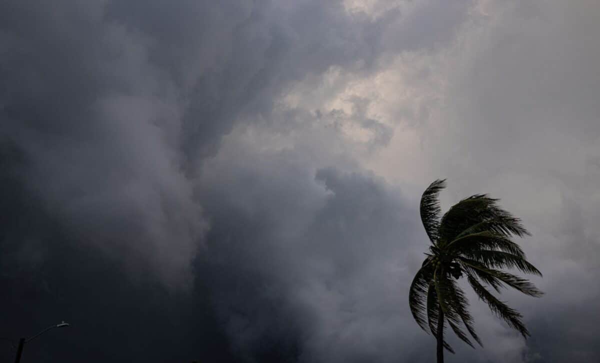
Millions of people across the central United States are facing the prospect of a prolonged period of severe weather, with meteorologists warning that tornadoes, damaging winds and large hail could develop over several consecutive days. The threat is expected to intensify through the weekend and into early next week.
According to the National Weather Service (NWS) Storm Prediction Center, severe thunderstorms are forecast from Thursday through Tuesday across parts of the Plains, the Mississippi Valley and the Upper Midwest. Independent meteorologists have also raised concerns about the potential for a widespread tornado outbreak during the period.
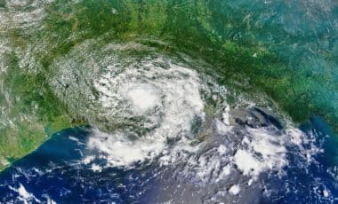
The warnings arrive during the peak of the US tornado season, which typically runs from April to June. Warm, moisture-rich air from the Gulf of Mexico often collides with cooler northern air masses during spring, creating conditions favourable for severe thunderstorms and tornado formation.
Illinois and several neighbouring states have already experienced an active tornado season this year. The report notes that Illinois alone has recorded more than 100 tornadoes so far in 2026, well above the state’s annual average.
Severe Weather Threat Expected to Intensify through the Weekend
The first round of storms was forecast for Thursday across northern Texas, western Oklahoma and central Kansas. According to the NWS Storm Prediction Center, the primary hazards included hail and severe wind gusts developing later in the afternoon and evening.
Forecasters stated that tornado probabilities on Thursday remained below two per cent. The risk level was classified as “slight”, though officials warned that isolated severe thunderstorms could still develop across the region.
On Friday, the severe weather corridor was expected to shift northwards into northeastern Kansas, southeastern Nebraska, southern Iowa and northwestern Missouri. According to the forecast, the main concerns again centred on large hail and damaging winds rather than tornadoes.
Nearly three million people were estimated to be living within Friday’s slight-risk area. The NWS forecast also indicated that severe storms capable of producing “large to very large hail” could affect parts of the region.
Saturday’s outlook carried stronger warnings. The Storm Prediction Center stated that “a strong tornado will be possible” across parts of the central Plains and the lower to mid-Missouri Valley. Hailstones measuring up to three inches in diameter were also mentioned in the forecast.
More than 4.5 million residents fall within the highest risk zone for Saturday, including population centres such as Omaha, Lincoln, Des Moines, Cedar Rapids and Topeka.
Meteorologists urge residents to stay alert as conditions evolve
Independent meteorologist Reed Timmer described the developing pattern as a possible “multi-day tornado outbreak” in a post published on X on Thursday. According to Timmer, severe weather potential could continue for six consecutive days, peaking between Saturday evening and Tuesday morning.
The NWS Storm Prediction Center similarly warned of “multiple days of severe storms” extending into early next week. Forecasts indicated that the tornado threat may continue across the northern Plains and into the Missouri Valley on Sunday and Monday.
Officials have encouraged residents in affected states to monitor forecasts and emergency alerts closely as weather conditions develop. The report noted that local NWS offices may issue tornado watches or tornado warnings depending on storm activity.
According to the NWS, a tornado watch means atmospheric conditions are favourable for tornadoes to form, while a tornado warning indicates that a tornado has either been spotted or detected by radar, requiring immediate shelter.
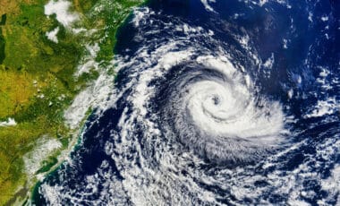
The agency also explained that tornadoes generally develop within severe thunderstorms known as supercells, where warm moist air rises into cooler air and encounters strong wind shear. Under certain conditions, the rotating air column can tighten and extend towards the ground, producing a tornado.