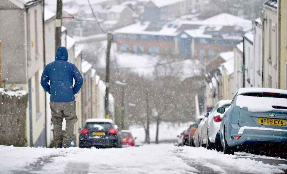
The UK is set for an Arctic storm, as forecasters predict a drop in temperatures this weekend. The mercury is predicted to freeze, with several regions dropping below zero as the month draws to a close.
The weather maps for March 30th show a significant change, with a range of violets and blues. Weather forecasters are warning that parts of the UK could be in for a challenging period with heavy rain and significant snowfall. Scotland is expected to experience a sharp drop in temperature, with some areas preparing for conditions as cold as -7°C.
WXCharts have recently predicted a significant rainfall event for the southwest and east of England, with substantial precipitation expected. Additionally, areas to the west of London, extending towards Southampton, may experience light snowfall, with potential accumulations of up to three centimetres.
Snowfall and Severe Weather Warnings
According to the UK Met Office, northern Scotland will bear the brunt of the snowfall. Towns such as Wick are on alert for intense snow showers, which could result in snow accumulation rates of up to three centimetres per hour.
The weather outlook is reminiscent of the harsh conditions experienced in 2018, leading to speculation about the return of the ‘Beast from the East’, a weather phenomenon known to bring prolonged cold and significant snowfall.
However, after a brief period of milder weather, with temperatures reaching the mid-teens, the UK is expected to see a swift return to colder conditions. Some of the areas most likely to be affected include Inverness, Aberdeen, Edinburgh, Newcastle and Manchester, as well as parts of North Wales, North Devon and regions such as Reading and Oxford.
Flood Risk in Parts of England Over the Next Five Days
Over the next five days, groundwater levels are expected to rise significantly in some areas of southern England, causing localised flooding. Tidal plains and roads may be inundated with floodwaters, with nearby properties also at risk of flooding.
Parts of southern England and the Midlands will remain at risk of surface water and river flooding on Sunday. There is a possibility of localised flooding of land and roads in the event of heavy rainfall, although widespread effects are not expected.
Today and Tomorrow’s Forecasts
Today started relatively dry and sunny for most, but that did not last long. A low pressure system advances towards the UK, promising a stormy end to Sunday and a wet start to Monday as it spirals north and east. A brief dry spell greets the start of the working week, but this too is quickly overshadowed by another wave of low pressure moving in from the west as the week progresses.
Afternoon and Tonight’s forecast
A blanket of cloud is gathering over Northern Ireland, Wales and southwest England. This afternoon, a swath of rain will move north and east, intensifying as it crosses Northern Ireland and the Welsh uplands. While parts of Scotland and northeastern England may cling on to some sunshine, gusty winds combined with overcast skies and rain will bring temperatures down. Nevertheless, the south will bask in temperatures around 12-13 degrees Celsius, slightly above the norm for this time of year.
As dusk falls, this band of rain will continue to move north and east, dumping heavily across southern Scotland overnight, with a possible dusting of snow on higher ground.
Temperatures will remain unseasonably warm during the night, hovering around 10 or 11 degrees Celsius. However, clearer skies over Northern Ireland and Scotland will cause temperatures to dip into the lower single digits.
Outlook for Sunday
Sunday morning will start brighter and drier in Scotland and Northern Ireland, with plenty of sunshine throughout the morning. In England and Wales, the rain band will move eastwards, bringing sunnier intervals but also showers, particularly over central and northern England and Northern Ireland.
Showers could be particularly intense, but temperatures will remain well above seasonal averages, with highs of 16 to 17 degrees Celsius in the south and not far behind in Scotland.