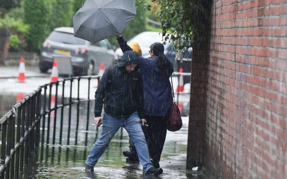
Heavy rain and strong winds are forecast to affect Greater Manchester on Saturday afternoon, as the school holidays and meteorological summer draw to a close with unsettled weather, according to the Met Office. Forecasts indicate a developing low pressure system moving in from the west, bringing rainfall and gusty conditions to parts of the region.
According to Manchester Evening News, the heaviest showers are expected mid-afternoon, particularly in western areas such as Wigan and Bolton. The Met Office has not issued any weather warnings, but the forecast suggests conditions will deteriorate temporarily before improving on Sunday.
Wet and Windy Weather to Follow Settled Warm Spell
Following a stretch of warm and stable weather that has placed the UK on track for one of its warmest summers on record, the Met Office reports a change in conditions due to a developing low pressure system approaching from the west. This system is expected to bring widespread downpours and strong winds to many regions across the weekend.
The Met Office has indicated that the system could deliver 10–20mm of rain across many parts of the country, with gusts over 50mph possible in coastal and upland locations.
Rain to Begin in the Afternoon, Peak Around 3PM
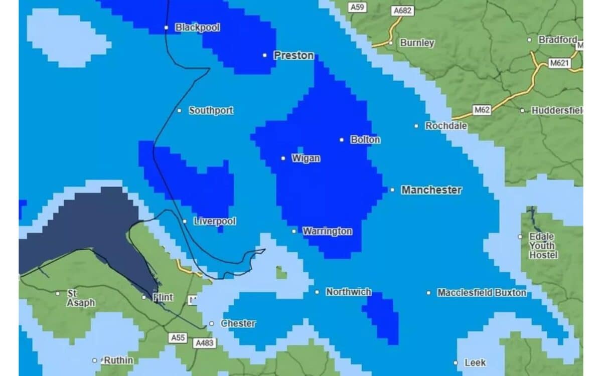
Forecasts show that light showers may begin in Greater Manchester around 2pm on Saturday. The heaviest rainfall is projected to start at exactly 3pm, with more than 4mm of rain per hour expected in some areas, especially in the western parts of the region.
According to the Met Office weather map, Wigan, Bolton, and western areas of Manchester city centre are likely to be the most affected zones. Rainfall is set to continue intermittently through 6pm, followed by light showers until approximately 8:30pm.
No Weather Warnings Yet, but Gusts May Exceed 50MPH
As of Friday, the Met Office has not issued any severe weather warnings for Greater Manchester or surrounding areas. Despite this, wind gusts may intensify into the afternoon, especially around 3pm, when wind speeds are expected to peak.
The developing low pressure system will also impact other parts of the UK through Sunday, especially coastal zones, headlands, and higher elevations, where gusts in excess of 50mph are possible.
Sunday Forecast: Cloudy Night Followed by Sunny Spells
The weather is expected to calm slightly on Sunday, with a cloudy night preceding sunny intervals during the morning hours across Greater Manchester. According to current Met Office forecasts, temperatures are expected to remain near average for the time of year, and wind speeds are likely to be moderate throughout the day.
Blustery showers may occur in the early afternoon, particularly in exposed areas, but these are forecast to be lighter, less frequent, and more scattered compared to Saturday’s conditions. The overall weather pattern suggests a gradual return to more stable conditions as the low pressure system continues to move away from the region.
Quote From Met Office Meteorologist on Incoming System
David Oliver, Deputy Chief Meteorologist at the Met Office, provided further context on the system’s development:
A deep area of low pressure will develop close to the UK on Saturday and track northeast over the weekend, bringing wet and windy weather for many.
While the exact track and depth of the system is still a little uncertain, at present it looks likely that we’ll see gusts in excess of 50mph in some areas during Saturday and Sunday, especially across coasts, headlands and high ground.
In addition to these gusty winds, 10–20mm of rain is likely across many regions, with higher totals over hills in western areas.
This weekend’s unsettled weather marks a shift from the warm and stable conditions experienced through much of August. As both school holidays and meteorological summer come to an end, large parts of the UK — including Greater Manchester — will likely experience a final surge of wind and rain, as highlighted by repeated Met Office forecasts.