The Met Office has issued multiple warnings in recent months as the UK’s weather becomes increasingly unpredictable. In line with findings from sources like Daily Record, a growing number of extreme weather events have been recorded. From heatwaves to heavy rainfall, the shifts in weather patterns are noticeable.
These changes are closely linked to climate change, which is contributing to more frequent and intense weather phenomena. In this article, we’ll examine the role of climate change in altering weather patterns, the effects it has on local environments, and the strategies needed to adjust to this evolving reality.
The Connection Between Climate Change and Weather
You’ve probably heard the term “climate change” thrown around a lot, but what does it actually mean for the weather? Simply put, climate change refers to long-term shifts in temperature and weather patterns.
These shifts are primarily caused by human activity—especially the burning of fossil fuels, which increases the amount of greenhouse gases in the atmosphere. This leads to higher average temperatures across the globe, creating an environment that’s more prone to extreme weather.
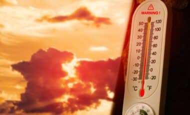
Take the frequency of extreme weather events, for example. Scientists have observed an increase in the intensity and frequency of extreme weather patterns over the past few decades. Heatwaves, heavy rainfall, hurricanes, and even snowstorms in unusual places—these are all signs that our weather is becoming more erratic.
Experts believe that the rise in global temperatures contributes to more moisture in the air, which can lead to intense storms and more frequent rainfall.
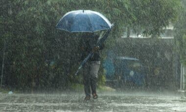
The Met Office has already issued several flood warnings in the UK as a result of the heavy rains over the past few days. With these warnings, it’s clear that the effects of climate change are becoming more immediate, disrupting communities across the country.
Unpredictability: A New Normal?
So, what does this mean for us on the ground? It means we’re living through a period of weather unpredictability. Weather patterns are harder to forecast because they are changing so quickly. Just think about the past few winters, where snow arrived later than expected, or summers that seemed to last forever.
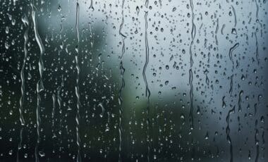
With rising temperatures, warmer air can hold more moisture, leading to more intense downpours when that moisture is released. But it’s not just about rain—it’s about the severity of the rain. Flooding, for example, is becoming more common in areas that once rarely saw it.
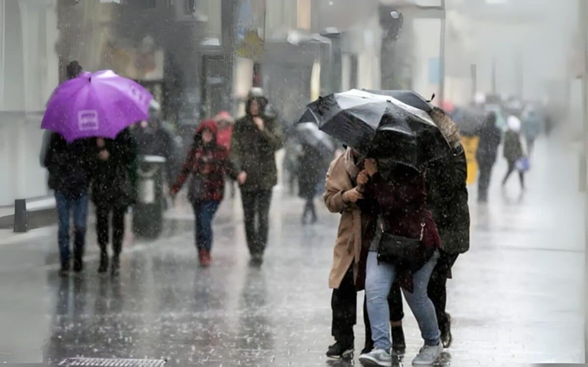
One key takeaway here is that extreme weather events are not limited to specific regions. In the past, certain places might have been known for their temperate climates, but now even those places are seeing unexpected weather changes. Take the United Kingdom, where regions used to enjoy mild, predictable weather. In recent years, though, areas like Scotland have experienced severe rainfall, hail, and even short bursts of heat during traditionally cooler months.
The Met Office forecast for the weekend (September 12–14) warns of unsettled conditions:
Remaining changeable with sunny spells and blustery showers, these frequent and occasionally heavy with a risk of hail and thunder. More persistent rain likely arriving on Sunday. Feeling cool.
Adapting to Change: What Can We Do?
Adapting to these changes is crucial. For one thing, cities and towns must start investing in sustainable infrastructure that can handle unexpected floods, storms, and heatwaves. That could mean creating better drainage systems, planting more trees to absorb rainfall, or even redesigning buildings to withstand extreme weather.
On a personal level, we can all make small adjustments to help cope with the unpredictability. Simple things like staying informed about weather forecasts, preparing emergency kits, and understanding how climate change can affect your local area can make a big difference. We may not be able to control the weather, but we can prepare for it.
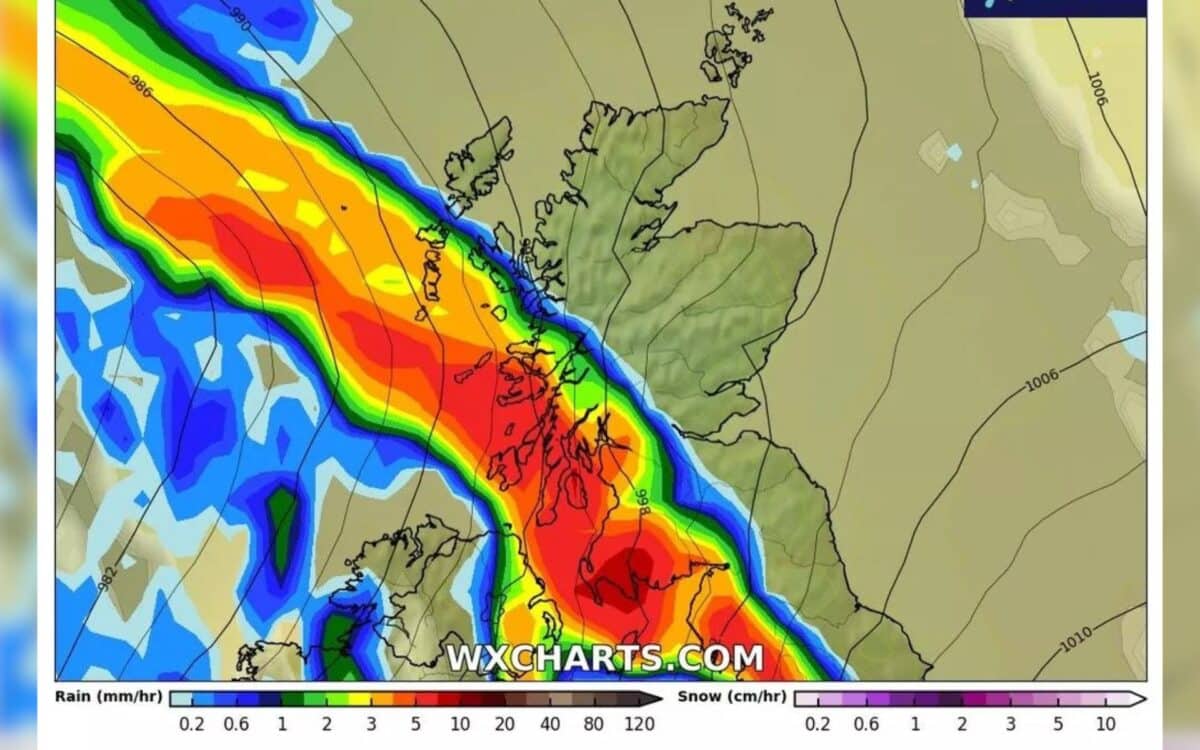
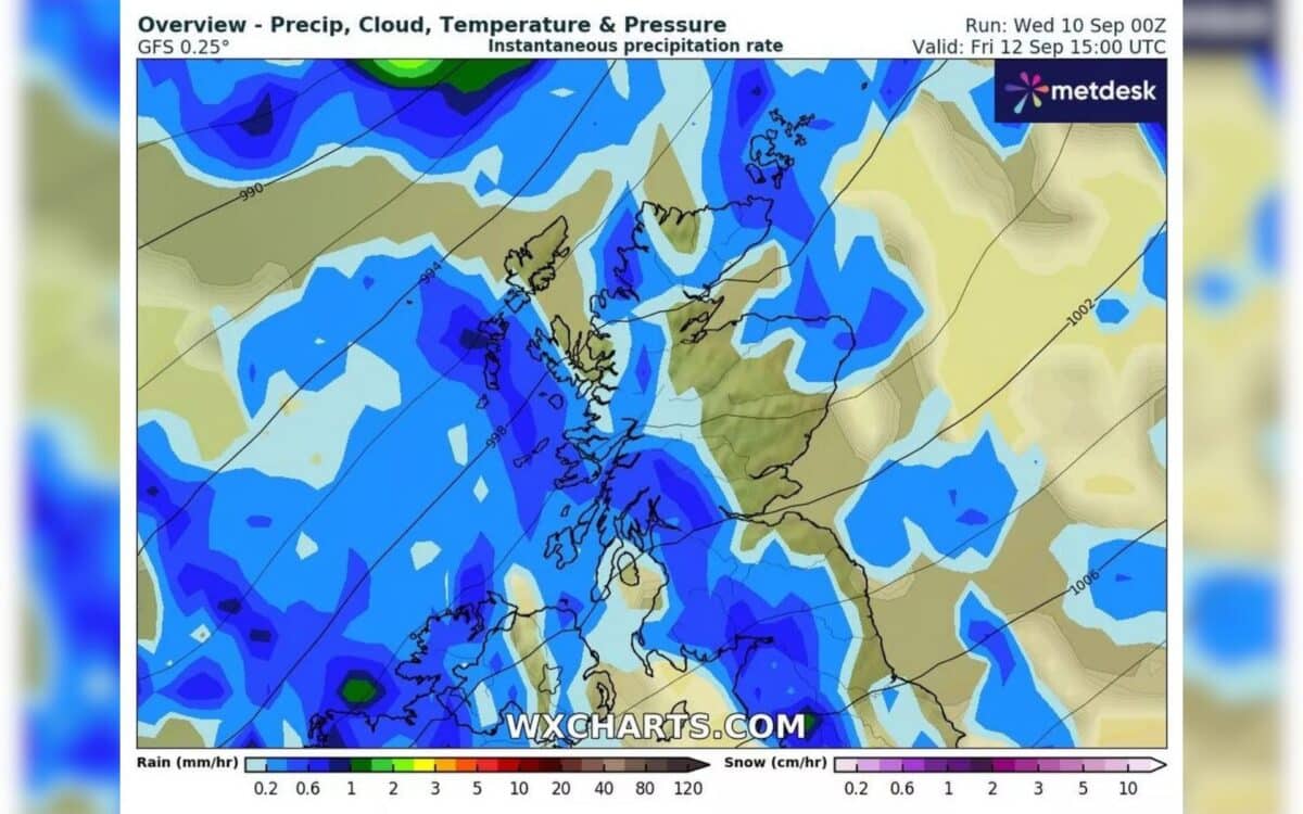
Interestingly, WX Charts has mapped out the rainfall expected across Scotland on September 10, which shows a massive system moving from the west to the east. The charts predict a rainfall rate of 5 to 10 millimeters per hour in parts of the Scottish Borders, Edinburgh, and the Highlands. This heavy rain is a direct result of the changing climate and further evidence of the increased frequency of extreme weather events.
Storm Season and the Naming of Storms
In addition to the immediate weather changes, September 1 marked the start of the storm season, which brings with it an increased risk of violent and wintry weather. While the Met Office has not confirmed the possibility of the coming low-pressure system becoming the first named storm of the season, it is expected to bring widespread showers and potential disruption.
The storm, if named, could be called Amy, though there has been no confirmation yet.
For the 2025/2026 season, the Met Office released a list of storm names, chosen by the public, that includes names like Amy, Bram, Chandra, and Dave. While Amy may not arrive this weekend, the storm season has officially begun, and it’s clear that the weather is only going to get more intense as the months progress.