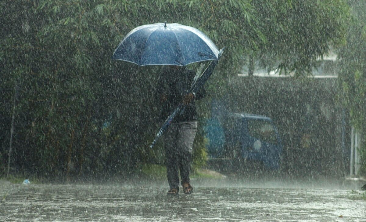
The warning began at 3am on Wednesday and remains in force until 10pm, covering 59 local authority areas. A further yellow warning begins at 6am on Thursday as forecasters expect slow-moving spells of heavy and thundery rain to affect parts of the UK.
London Could Receive 50MM of Rain Within a Few Hours
London is among the areas facing a risk of flash flooding, with as much as 50mm of rain potentially falling within only a few hours. According to MyLondon, the warning includes the possibility of disruption to homes, businesses, public transport and electricity supplies as intense showers move across the capital.
The Met Office said homes and businesses could be flooded rapidly, while some buildings may be damaged by floodwater, lightning strikes or hail. Where flooding or lightning occurs, train and bus services may also face delays or cancellations.
Despite the unsettled weather, temperatures are expected to remain warm. Wednesday’s London forecast describes a cloudy start with heavy or thundery showers, followed by some brighter or sunny spells during the afternoon. Scattered heavy showers or thunderstorms could continue, while the maximum temperature is forecast to reach 27C.
Residents have also been advised to prepare for possible flooding and power cuts. Guidance includes assembling an emergency flood kit and moving valuables and important documents to a higher shelf. London Mayor Sadiq Khan advised residents to check that their insurance covers flooding, while government guidance recommends knowing how to turn off water, gas and electricity supplies.
For people caught outside during thunder, the Met Office advises seeking safe enclosed shelter, such as a car. People should avoid sheltering beneath or close to trees or other structures that could be struck by lightning, and those on elevated ground should move to a lower area.
Warm and Humid Air Raises the Risk of Prolonged Thunderstorms
The warnings follow a spell of warm conditions across England and Wales. According to the Met Office, temperatures were expected to reach the mid to high 20s Celsius widely on Tuesday before isolated showers and thunderstorms in southwestern areas became more widespread during the evening and overnight.
Met Office Chief Forecaster Steve Willington said warm and humid air was helping to trigger heavy showers and thunderstorms, with some locations potentially receiving significant rainfall over a short period. The resulting conditions could cause localised flooding, travel disruption and frequent lightning.
Conditions are expected to become more widespread on Thursday. According to the Met Office, slow-moving heavy and thundery rain is forecast to spread north across the UK, with some areas potentially experiencing prolonged rainfall and significant totals over several hours.
Willington said there remains uncertainty over exactly where the heaviest rainfall will occur, making updated forecasts and warnings particularly relevant as the system develops. Unsettled conditions may persist into Friday and the weekend. Further showers or longer spells of rain remain possible at times, alongside drier and brighter periods.