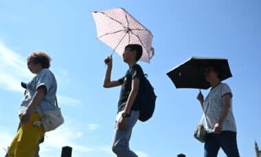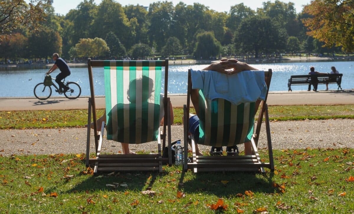
The Met Office has identified 33 locations across England and Wales set to experience unusually warm conditions this week, with Wednesday forecast as the peak day. Temperatures could reach as high as 26C in parts of central and south-east England, figures more typical of late spring or early summer than early April.
The warmest conditions will be concentrated across the South East and east of England, though significant portions of the West Midlands, South West, central England, north-west England, Yorkshire and the Humber, and Wales are all expected to record temperatures above 20C. Nine counties have been specifically earmarked by the Met Office as likely to be among the hottest, including Greater London, Berkshire, Cambridgeshire, Hampshire, Greater Manchester, Lancashire, Cheshire, Northumberland and Yorkshire.
A Brief but Notable Warm Spell
Met Office chief forecaster Paul Gundersen described the conditions as “a brief but notable spell of very warm weather for early April,” adding that the temperatures are “more typically associated with late spring or early summer.” He noted this could be the warmest spell at this point in April since 2020.
Gundersen cautioned, however, that the warmth would be short-lived, with a marked drop in temperatures and more unsettled conditions expected to develop later in the week. In some areas, daytime temperatures could fall by around 10C between Wednesday and Thursday.
The Met Office‘s forecast for Wednesday reads: “Often cloudy towards the north and west with some rain early on and again later in the day. Elsewhere, a fine day with plenty of sunshine and feeling very warm in places, especially across the south and east.” The sheltered parts of north-west Wales, according to the forecaster, could see highs of 24C or even 25C.
What Comes Next
Thursday will see rain followed by cooler and showery weather moving southeastwards across the UK, though the south-east is expected to remain dry and warm until later in the day. Some locations, including Canterbury in Kent, could still reach 22C at 4pm, while Ipswich and Rochester are anticipated to peak at 21C.
Temperatures will ease further on Friday, with London expected to reach a maximum of 14C at 4pm and Peterborough and Reading hitting 13C. Similar conditions are forecast for Saturday, 11 April. The outlook for Friday through to Sunday describes “unsettled” conditions throughout the weekend, with further bands of rain and showers, though some drier and brighter interludes are expected in between, with temperatures near or occasionally a little below average.
The full list of 33 areas identified as among the hottest over the coming days includes Banbury, Birmingham, Boston, Bourton-on-the-Water, Bristol, Cambridge, Canterbury, Cardiff, Corby, Derby, Dover, Exeter, Hereford, Hull, Ipswich, Leeds, Lincoln, London, Manchester, Milton Keynes, Norwich, Nottingham, Peterborough, Plymouth, Reading, Rochester, Sheffield, Southampton, Stoke-on-Trent, Sudbury, Swindon, York and Yeovil.