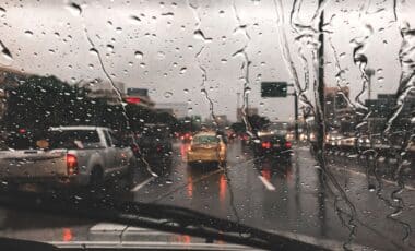

A yellow weather warning has been issued by the Met Office for Coventry and Warwickshire, valid until 5pm on Thursday, September 4, as forecasts indicate the arrival of heavy showers and thunderstorms across the region. The alert highlights the potential for localised flooding in some areas due to the intensity of expected rainfall.
The information was first reported by CoventryLive (Coventry Telegraph) following the updated advisory from the national weather service. The Met Office has stated that the weather system is likely to move northeast, bringing unsettled conditions, though at this stage, the full impact remains uncertain.
“An Area of Heavy Showers and Thunderstorms […] May Cause Some Localised Flooding”
In a statement, the Met Office warned:
An area of heavy showers and thunderstorms, moving northeast, may cause some localised flooding.
This alert follows another thunderstorm warning issued less than 24 hours earlier, underlining the ongoing instability in regional weather patterns.
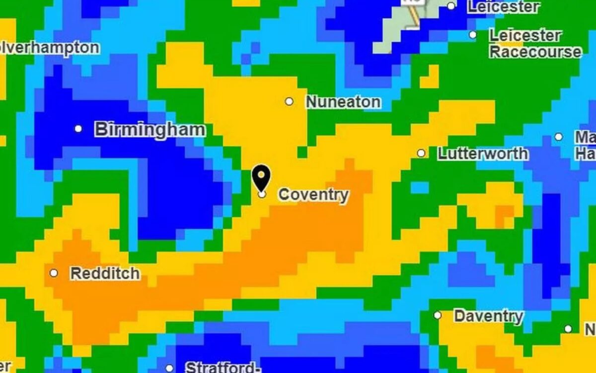
Although thunder did not occur on Wednesday, September 3, heavy rain was recorded in several parts of Coventry and Warwickshire. The current system appears more active, and residents are advised to remain alert for disruption, especially in flood-prone areas.
Detailed Forecast for Thursday: Wet Morning, Thundery Afternoon
Today’s weather will see heavy, showery rain clearing eastwards through the morning, followed by sunny intervals and further scattered showers, some of which are expected to be heavy and thundery. Conditions will become breezy at times during the afternoon. The maximum temperature is forecast to reach 19°C.
Overnight Conditions: Clearing Skies, Fresher in Rural Areas
As showers fade through the evening, the night will turn drier with clear spells. Winds will ease, and temperatures will drop, with a minimum of 10°C expected. It will feel a little fresher in rural spots, especially during the early hours of the morning.
Friday Forecast: Plenty of Sunshine, Light Winds
Friday, September 5, is expected to bring a drier day overall, with “plenty of sunny intervals” according to the Met Office. A few light showers are still possible, but lighter winds and pleasantly warm conditions in any sunshine are forecast. The maximum temperature will be around 20°C.