A shift in atmospheric patterns is set to bring an abrupt return to colder conditions across parts of the United Kingdom. Eastern regions, in particular, are expected to feel the effects of a cold air mass driven by changes in the jet stream.
While some western areas may retain milder daytime temperatures, the contrast across the country will be marked. Forecasters warn that overnight frost, coastal fog, and brisk easterly winds could create distinctly wintry conditions despite the time of year.
Jet Stream Shift Draws Cold Air across Eastern Britain
The developing situation stems from a dip in the jet stream, which is allowing a pool of colder air to settle over the UK. According to Met Office meteorologist Alex Deakin, this “troughing” effect is preventing the jet stream from steering away from the country, instead drawing in colder air from the North Sea.
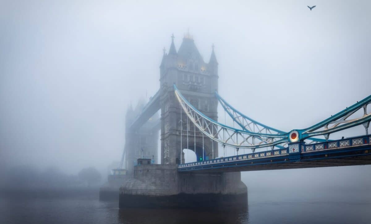
This pattern is expected to bring frequent showers to eastern areas early in the week. Winds coming from the east will carry moisture and cold air across coastal regions, where sea surface temperatures remain low for the season. According to the Met Office, this setup increases the likelihood of “haar and fret”, a type of cold sea fog that can significantly reduce temperatures and visibility along the east coast.
Daytime temperatures in western parts of the UK are forecast to reach double figures, though conditions will feel notably cooler in the east due to persistent cloud cover and wind. The contrast highlights how regional weather patterns can diverge under the influence of shifting atmospheric circulation.
High Pressure Brings Clear Skies but Colder Nights
Although high pressure is expected to dominate the broader weather pattern, it will not bring uniformly warm or settled conditions. Instead of drawing in warmer air from the south, the positioning of the high to the north is directing colder air into the UK.
According to British Weather Services meteorologist Jim Dale, this configuration will lead to a pronounced diurnal temperature range. Daytime readings may appear mild in some areas, though overnight temperatures are expected to fall sharply, in some cases dropping below freezing.
This variation increases the likelihood of ground frost, particularly in exposed rural areas. According to British Weather Services, gardeners may need to remain cautious as frost could damage early spring growth. Fog patches are also expected to develop overnight under clear skies, adding to localised hazards.
The broader pattern is expected to persist over several days, with the high pressure system moving only slowly. As it edges northwards, subtle shifts in wind direction may occur, though the overall influence of cooler air is likely to remain in place.
In practical terms, the result is a period of weather that feels out of step with the seasonal transition into late spring. The interplay between high pressure, cold air advection, and regional wind patterns is shaping a mixed picture, with brightness in some areas and persistent chill in others.