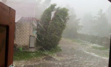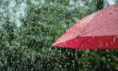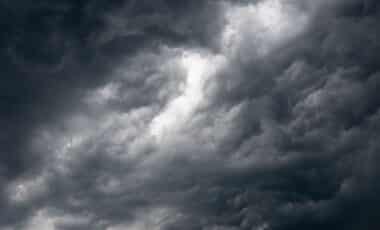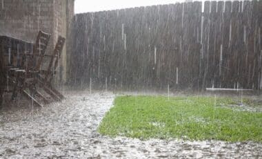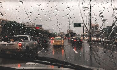

The shift follows a period marked by showers, thunderstorms and varied cloud formations, which created striking scenes across the country. According to the BBC, this change signals a return to more stable spring weather, with calmer conditions likely to extend into next week.
High Pressure Brings Calmer Skies and Mild Temperatures
Saturday is forecast to be mostly dry with sunny spells, while Sunday is expected to deliver more widespread sunshine as high pressure strengthens. Temperatures are predicted to range between 11C and 16C, slightly above the seasonal average. Light winds combined with stronger spring sunshine are likely to make conditions feel relatively pleasant for many.
This marks a contrast to the preceding days, which featured a mix of sunshine, showers and isolated thunderstorms. Weather observers reported notable atmospheric phenomena, including lightning, double rainbows and mammatus clouds. These unusual cloud formations, characterised by pouch-like structures beneath thunderstorm clouds, indicate turbulence in the lower atmosphere.
According to BBC Weather Watchers, such conditions are typical of April’s variability, where rapid shifts between sunshine and heavy showers are common. The recent unsettled spell provided favourable conditions for these features to develop, particularly in regions experiencing convective activity.
Looking ahead, the calmer pattern is expected to persist into the coming week. While some cloud cover will remain at times, brighter intervals are anticipated across much of the UK, with temperatures holding in the low to mid-teens.

Stark Regional Contrasts in Spring Rainfall Emerge
Despite the recent showers, rainfall distribution across the UK this spring has been uneven. Some areas have recorded significantly below-average precipitation, while others have already exceeded typical monthly totals.
According to BBC Weather analysis, parts of East Anglia and south-east England have experienced notably dry conditions. In Essex, only around a fifth of the usual spring rainfall has been recorded so far. Data from the Met Office indicates that between 1 and 14 April, just 4.5mm of rain fell in these regions, compared with an average of about 20mm for the same period.
March had already seen below-average rainfall in eastern and south-eastern England, and April has continued this trend. This prolonged dryness contrasts sharply with conditions further north and west.
Western Scotland, in particular, has experienced much wetter weather. According to the same analysis, rainfall totals there have reached roughly double the normal April levels. Across Scotland as a whole, around 70mm of rain fell during April to date, compared with an expected 40mm.
These disparities reflect the influence of successive weather systems tracking across the Atlantic, which have brought repeated rainfall to western areas while leaving eastern regions relatively sheltered. According to the BBC, such variations are not unusual in spring, though the scale of the difference has been notable this year.
While conditions are expected to remain mostly dry in the near term, the longer-term outlook for spring rainfall remains uncertain. Earlier in 2026, the Environment Agency confirmed that eastern England had only recently returned to normal conditions following a prolonged wet winter, underscoring how quickly patterns can shift.