The colder conditions come as forecasters anticipate a changeable period across the UK, with rain, occasional strong winds and brighter intervals expected over the coming weeks. While northern areas face colder weather, southern parts of the country are likely to experience milder temperatures and wetter conditions towards the end of November.
Scotland Faces Freezing Temperatures As Snow Returns to Higher Ground
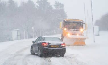
The Met Office has identified the northern Cairngorms and other elevated areas of Scotland as the locations most likely to experience snowfall.
According to The Independent, which reported the forecast on 18 November, snowfall is expected to be concentrated mainly over hills, with very little accumulation anticipated. This means that while some Scottish upland areas could experience wintry conditions, significant settling snow is not currently forecast.
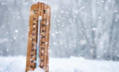
Temperatures are expected to fall particularly sharply towards the weekend. Met Office weather maps indicate that locations including Biggar and Cumnock could experience lows of -4C overnight on Friday and Saturday.
The forecasts also show temperatures reaching -3C in parts of Scotland on Friday evening, reflecting the colder conditions expected across northern areas of the country. Despite the prospect of snow and sub-zero temperatures, no weather warnings are currently in place for the immediate period covered by the forecast.
The colder spell follows a period of unsettled weather in Scotland. Last month, the Scottish Highlands and Outer Hebrides experienced gales reaching 70mph, demonstrating the strength of winds that have affected northern parts of the country.
Looking ahead, the Met Office expects northern temperatures to remain below the seasonal average at times, with further outbreaks of rain potentially falling as snow over higher ground.
Wetter Weather Expected in Southern Britain As Drought Restrictions Remain
Conditions further south are expected to differ from those in Scotland. According to the Met Office, southern areas will probably experience temperatures close to the seasonal average, occasionally rising slightly above it.
Rainfall is expected to become more frequent towards the end of November, with wetter conditions continuing into the first two weeks of December. Forecasters attribute this pattern to low pressure being positioned further south than is typical for the time of year.
Occasional stronger winds are also possible, although periods of clear skies and sunshine are expected between showers. Higher pressure across northern areas, meanwhile, makes drier and more settled conditions more likely there.
The prospect of additional rainfall comes while parts of England remain subject to water restrictions following the prolonged summer drought.
According to The Independent, hosepipe bans still affect some or all customers of Affinity Water, Anglian Water, Bristol Water, Cambridge Water, Essex and Suffolk Water, Southern Water, South East Water, South West Water, Thames Water and Wessex Water.
Eleven areas remain in drought, including parts of southern England where severe drought has been declared.
The continuing restrictions follow months of below-average rainfall. September became the sixth month of 2026 to record less rainfall than average, adding to the prolonged dry conditions affecting several regions. For the coming weeks, the Met Office forecast points to a geographical contrast: colder conditions and occasional hill snow in the north, alongside generally milder but wetter weather in the south.