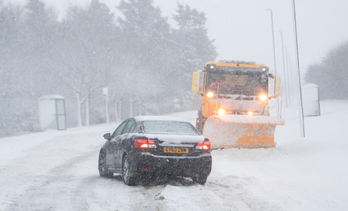
Snow could reach parts of England, Scotland, and Wales by November 10–11, with forecast models suggesting accumulations of up to six inches in some mountainous areas. Around 50 UK counties could experience snowfall as colder conditions develop across Britain.
Weather Models Show Snow Spreading Across Britain
According to The Mirror, projections from the Global Forecast System (GFS) indicate that snow could begin falling across western Scotland on the morning of November 10, before spreading south into Wales and parts of England.
The model shows snowfall rates reaching approximately 4 mm per hour in western Scotland during the initial phase. Snow could then move into Wales during the early hours of November 11, followed by wintry conditions across parts of England.

Credit: WXCHARTS
Rain is expected to follow the snowfall in some areas as the weather system shifts northward again. By 9 p.m. on November 11, the GFS projections place the main areas of snowfall over northern Scotland and North Wales.
These forecasts remain preliminary. The GFS is a numerical weather prediction model, and its longer-range projections can change substantially as the forecast period approaches. The maps indicate a possible weather scenario rather than confirmed snowfall.

Credit: WXCHARTS
Scotland and Wales Could See the Deepest Snow
The largest accumulations are projected across elevated terrain, where colder temperatures make settling snow more likely.
In western Scotland, the GFS model suggests snow depths could reach 16 cm (6.3 inches) on higher ground. Parts of mountainous Wales could receive approximately 13 cm (5.1 inches).

Credit: WXCHARTS
England faces a less substantial snowfall risk. Although flakes could reach several counties, projected accumulations generally remain at or below 1 cm (0.4 inches).
The geographical extent is notable. Forecast maps identify roughly 50 counties where snow could fall during the two-day period, although many locations may see little or no accumulation.
In England, the areas highlighted include Yorkshire, Derbyshire, Cheshire, Shropshire, Staffordshire, Herefordshire, and Cumbria.
In Wales, the projections cover much of the country, including Gwynedd, Powys, Conwy, Cardiff, Swansea, Wrexham, and Carmarthenshire.
Scottish areas featured in the forecast include Inverness-shire, Aberdeenshire, Perthshire, Argyllshire, Lanarkshire, and Sutherland, alongside several other counties.
El Niño Raises Questions About the Coming Winter
The possibility of November snowfall comes amid wider discussion about how El Niño could influence Britain’s winter weather.
El Niño describes a periodic warming of surface waters in the tropical Pacific Ocean. Its influence can extend into global atmospheric circulation, although its effects on individual weather events in the UK are indirect and uncertain.
The Met Office explains:
“Through the latter part of the winter, following a peak in El Nino, the stratospheric Polar Vortex can become weaker, leading to an increased chance of Sudden Stratospheric Warming events unfurling, increasing the potential for cold weather.”
A sudden stratospheric warming (SSW) event occurs when temperatures rise rapidly in the stratosphere, sometimes by approximately 50°C within a few days. Such events can weaken or disrupt the polar vortex and alter atmospheric circulation patterns.
These disruptions can affect the jet stream and increase the likelihood of prolonged cold conditions in parts of Europe, although the outcome varies considerably between events.
Could Britain See Another Beast From the East?
One historical example is the 2018 Beast from the East, when unusually cold air swept across Britain in February and March, producing widespread disruption and snowfall reaching approximately 22 inches in some locations.
That episode was associated with a major sudden stratospheric warming event, which contributed to atmospheric conditions favoring cold easterly winds.
An SSW does not guarantee heavy snowfall in Britain. Its effects depend on how changes in the upper atmosphere interact with weather systems closer to the surface.
The Met Office notes that a cold spell follows such events more often than not, but the timing, location, and severity remain uncertain.
For November 10–11, the current GFS scenario places the heaviest potential accumulations over western Scotland’s higher ground, at around 16 cm, compared with approximately 13 cm across elevated parts of Wales.