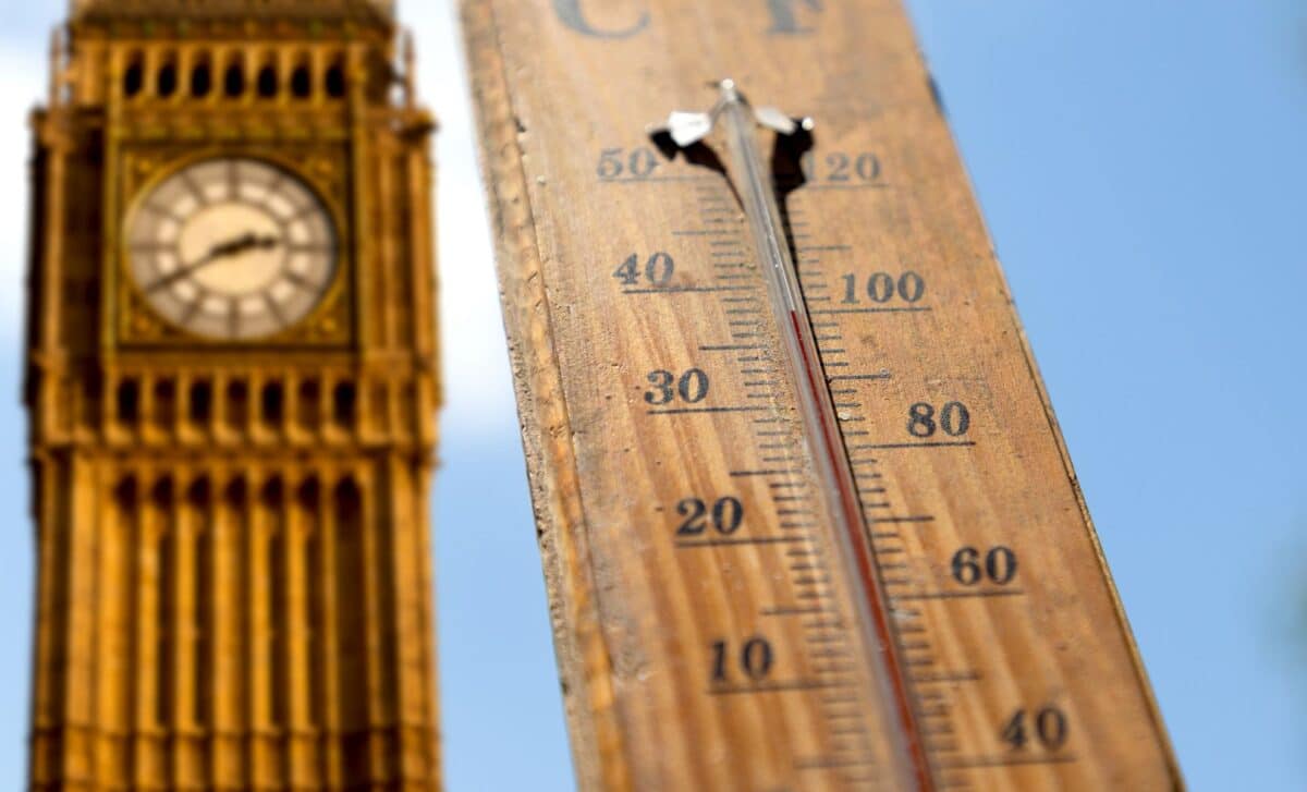
The UK is set to see warmer conditions return this week after a cooler and wetter end to August, with temperatures expected to reach 26C in London as the country moves into September.
The shift follows a record-breaking summer, with the Met Office confirming that June, July and August produced the highest mean average temperature since records began nearly 150 years ago.
Warm Weather Returns After Unsettled August Ending
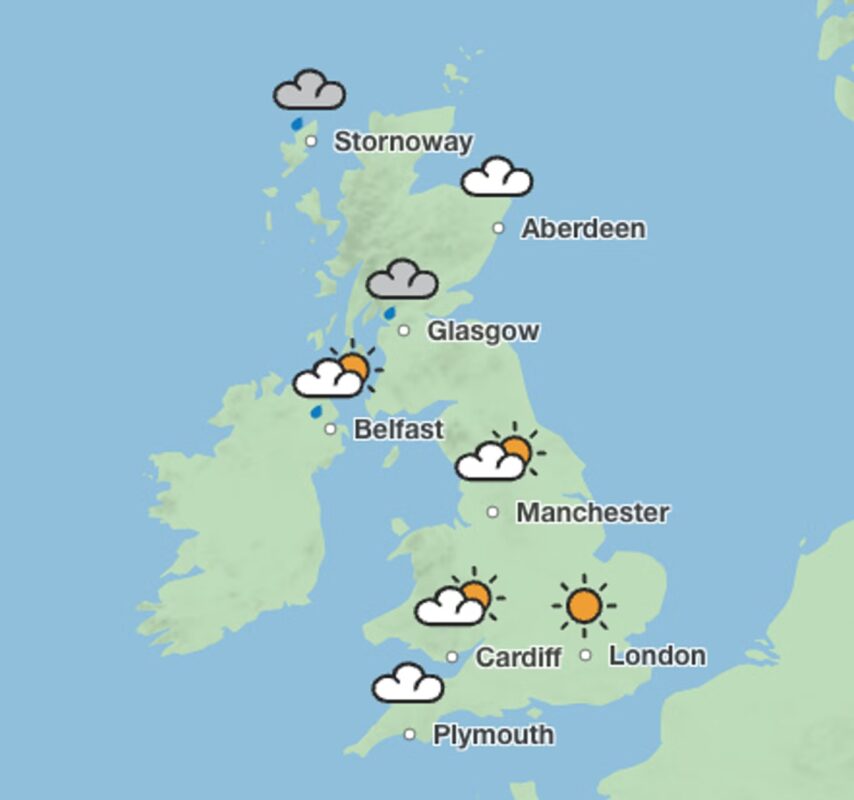
Temperatures will climb from Thursday, with much of the country expected to experience highs in the low 20s. London could reach 26C, while Manchester, Cardiff and Plymouth are forecast to reach around 21C.
The warmer conditions are expected to continue into the weekend, with London again reaching 26C on Sunday and Manchester forecast to peak at 24C.
Rain will still affect parts of the country, with Atlantic weather systems bringing showers to Scotland, Wales and northern England.
Credit: The Met Office.
Met Office Expects Mixed September Weather
According to the Met Office, the first half of September is likely to bring periods of warmer weather alongside unsettled conditions.
The weather service said:
“Rain will likely be most frequent across northern and western areas, while the south and east are more likely to see some drier interludes. There is also the potential for some strong and gusty winds, particularly in the northwest.
“Temperatures are likely to be near average, although brief warm or very warm spells are possible, especially in the south.”
The forecast suggests southern and eastern parts of the UK may see longer dry periods, while northern and western regions are more likely to experience frequent rain.
Heard another heatwave is on the way?
— Met Office (@metoffice) September 3, 2026
Whilst a warmer spell will affect parts of the UK this weekend and temperatures will widely rise above average on Sunday, this heat spike will be brief. By Monday most places will be much cooler again📈📉 pic.twitter.com/PSw7OTvPqn
Record Summer Temperatures Set New UK Benchmark
The latest warm spell comes after the UK recorded a mean average temperature of 16.5C across June, July and August, surpassing the previous record of 16.1C set in 2025.
The highest temperature of the summer was recorded on 13 August at Kew Gardens, where temperatures reached 38.1C.
The summer did not exceed the national temperature record of 40.3C recorded in Lincolnshire in July 2022, but temperatures of 37C or higher were recorded on three separate days.
Five-Day Forecast Shows Rain And Warmer Intervals
Rain will continue moving across parts of the UK before brighter spells develop. Wednesday brought outbreaks of rain across central areas, while southeastern England and northern Scotland remained mostly dry.
Thursday is expected to begin cloudy in southern areas with patchy rain before sunshine and showers develop. Further cloud and rain will move in from the west.
From Friday to Sunday, the UK will remain unsettled with additional periods of rain, alongside some drier and brighter intervals, especially on Saturday. Temperatures are expected to stay around average, with mild nights continuing.
The Met Office recorded a summer mean temperature of 16.5C across the UK during June, July and August 2026.