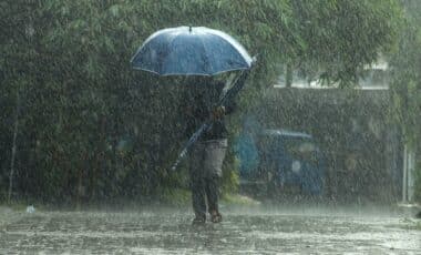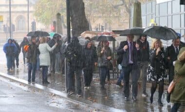
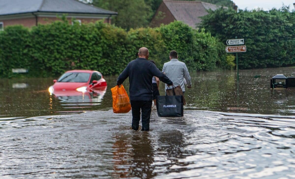
Heavy showers and thunderstorms are affecting large parts of England and Wales, with a Met Office yellow warning in place and flood alerts issued across several regions. The warning covers 64 areas, with authorities warning of possible flooding, travel disruption and difficult driving conditions as further rainfall moves across the country. The latest alerts follow significant flooding earlier in the week, including parts of Birmingham where properties and roads were affected.
Thunderstorm Warning Covers Large Parts of England and Wales
The Met Office issued a yellow warning for thunderstorms from midday until 9pm on Friday, covering areas including Wales, the West Midlands, Yorkshire and the Humber, the North West, the North East, the East Midlands, the East of England and parts of the south of England.
Forecasters said heavy showers and thunderstorms were expected to develop during Friday afternoon and evening. According to the Met Office, some areas could see 10-20mm of rainfall in a short period, while locations affected by repeated downpours could receive 30-40mm. Lightning and hail were also identified as possible hazards in some areas.
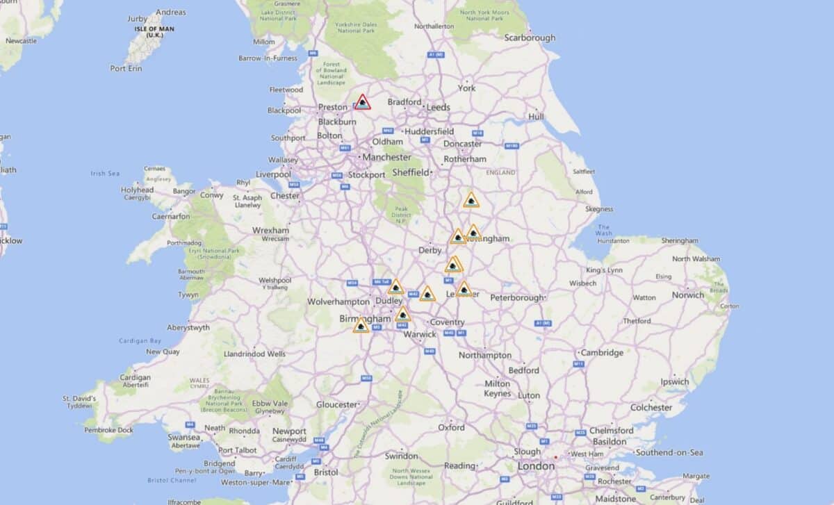
The Environment Agency issued two flood warnings, meaning flooding is expected, alongside 29 flood alerts where flooding is possible. According to the Environment Agency, the alerts were in place across parts of London, the Midlands and northern England.
The weather warnings follow flooding earlier in the week. In Perry Barr, Birmingham, thunderstorms caused a local brook to burst its banks, leaving some vehicles stranded and water reaching around a metre in the worst-affected homes. The Met Office said the heaviest showers would gradually ease on Friday evening, with fresher conditions expected after a period of warm and humid weather.
Rain and Thunderstorms Expected Through the Bank Holiday Weekend
The unsettled conditions are expected to continue during the bank holiday weekend, with further showers, thunderstorms and periods of rain forecast across different parts of the UK. Saturday is expected to bring a mix of sunny spells and heavy showers, with thunderstorms possible, particularly across England and Wales. According to BBC Weather, temperatures are expected to remain around 18-22C in England and Wales, with cooler conditions further north.
Sunday and bank holiday Monday are also forecast to remain changeable, with further heavy showers and longer spells of rain possible. Scotland is expected to see some of the wettest conditions on Monday, while England and Wales are forecast to experience a mixture of sunshine and showers before more rain moves in from the west.
The unsettled forecast comes as large numbers of people attend outdoor events, including Reading and Leeds Festivals, Creamfields, Manchester Pride and the Notting Hill Carnival. Organisers and visitors have been advised to monitor updated forecasts because the location and timing of the heaviest showers and thunderstorms may change.
The weather comes after a prolonged period of dry conditions in England. Following a meeting of the National Drought Group, the Environment Agency said 71.3% of England remained in drought and that August rainfall had reached only 34% of expected levels so far. The combination of dry ground and heavy rainfall has kept flood risks under close observation as weather conditions shift across the UK.