
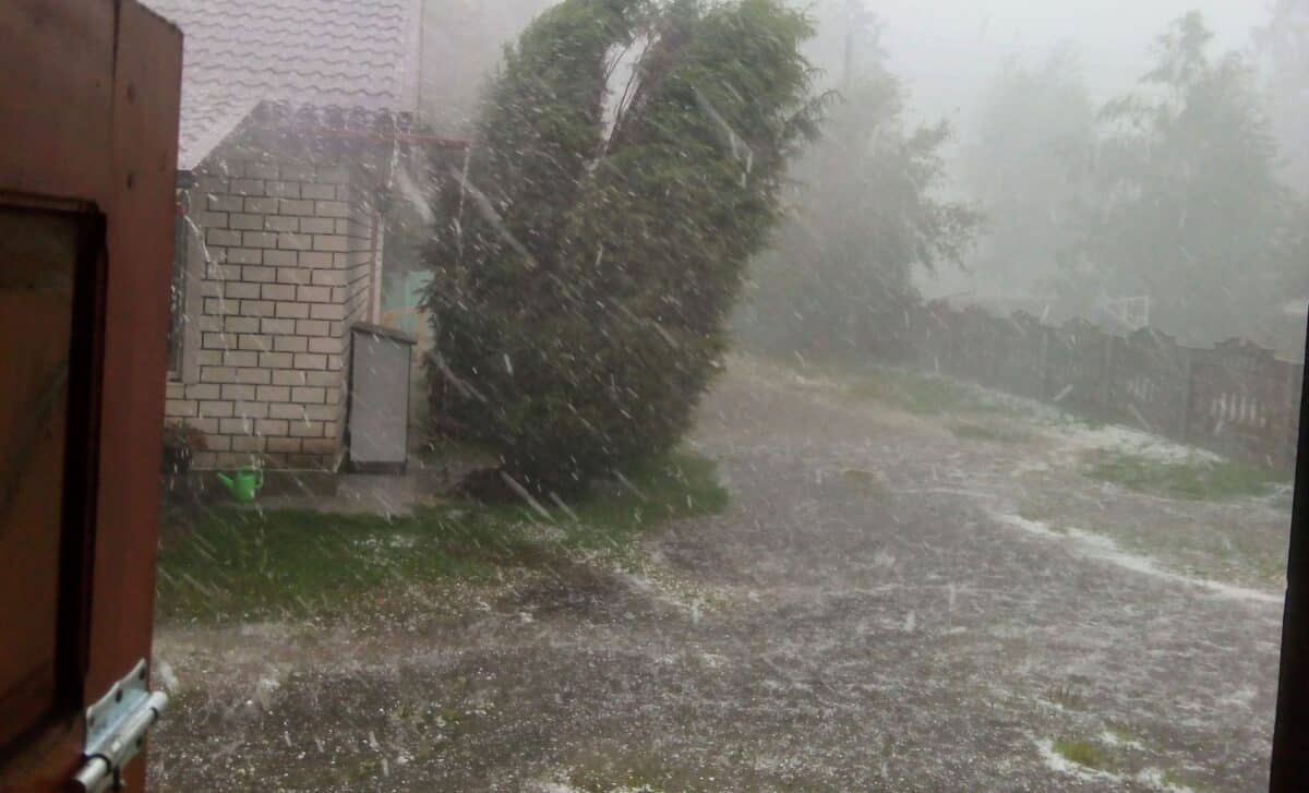
The National Weather Service (NWS) has issued flood alerts for parts of San Diego, Riverside and San Bernardino counties, with rainfall expected to continue through Sunday, October 11. The storm arrives as unusually warm Pacific Ocean temperatures signal an increasingly powerful El Niño, raising concerns about California’s exposure to flooding in the months ahead.
Storm Rachel Brings Heavy Rain and Dangerous Coastal Conditions
According to the National Weather Service, rainfall rates could reach 0.50 to 0.60 inches per hour along San Diego’s coast and valleys, increasing to 0.50 to 0.70 inches in desert areas. Mountain communities could experience even heavier rainfall, with rates reaching 0.70 to 1 inch per hour.
The heaviest precipitation was expected through early Sunday afternoon, before gradually weakening from south to north. Excessive runoff could flood rivers, creeks and low-lying areas, while saturated mountain slopes face an increased risk of rockslides and mudslides.
Coastal communities are also confronting hazardous conditions. A coastal flood warning covers San Diego and Orange counties, where powerful waves, elevated tides and strong onshore winds are expected to produce significant flooding and beach erosion.
Forecasters anticipate surf heights of 5 to 7 feet, with localized waves reaching 9 feet. High tides exceeding 7.5 feet could intensify coastal impacts Sunday morning, while dangerous rip currents pose additional risks to beachgoers. The immediate warnings come against a broader climate backdrop. El Niño, a recurring warming pattern in the tropical Pacific, is strengthening as California approaches its winter storm season.
NOAA Forecasts a Potentially Historic El Niño Through Early 2027
According to NOAA’s Climate Prediction Center, its October 8 assessment indicates that El Niño continues to intensify, with a greater than 83% probability of strong-to-very-strong conditions persisting through January–March 2027.
Ocean observations reinforce that assessment. Sea surface temperature anomalies exceeded +4.0°C in portions of the eastern equatorial Pacific during September. The Niño-3.4 index reached +2.1°C, while Niño-3 and Niño-1+2 registered +3.0°C and +3.9°C, respectively.
NOAA also assigns an 83% probability to an event reaching historic strength during October–December 2026, measured against El Niño events dating back to 1950. That threshold corresponds to a three-month Relative Oceanic Niño Index value of +2.5°C or higher.
For California, the implications extend beyond warmer ocean temperatures. According to the NWS California preparedness guidance, El Niño can alter atmospheric circulation and storm tracks, increasing the likelihood of prolonged rainfall, flash flooding and coastal erosion.
The Climate Prediction Center’s seasonal outlook favors above-average precipitation across Southern California during October–December, with wetter conditions potentially extending into subsequent winter months.
Heavy rainfall could also destabilize hillsides, particularly in areas affected by wildfires. In the Sierra Nevada, warmer storms may produce more rain at lower elevations, although substantial snowfall remains possible higher in the mountains.
These outcomes are not guaranteed. NOAA emphasizes that even exceptionally strong El Niño events produce varying regional effects, making seasonal forecasts an assessment of probabilities rather than predictions of specific storms. For now, California faces immediate flooding threats from Rachel while forecasters continue monitoring Pacific conditions ahead of winter.