A major weather system is expected to bring heavy rain, flooding risks and early-season snow to parts of the United States as September comes to an end. Forecasters are monitoring a hybrid storm that combines tropical moisture with another weather system moving across the country.
Colorado Mountains Could See Up To 8 Inches Of Snow
The storm could bring several days of rainfall across parts of the Southwest and central US, while some of the highest elevations of the Colorado Rockies may see the first notable snowfall of the season. The earliest snow from the system is expected in Colorado’s highest mountain areas.
According to the National Weather Service, snow levels will remain high, meaning most populated areas will not experience snowfall. The Denver metropolitan area and much of the state are expected to receive rain rather than snow.
In Colorado’s highest peaks, snowfall could reach several inches. Weather Service forecasts indicate that some locations in the Sangre de Cristo Mountains could receive up to 8 inches of snow in a higher-end scenario.
Areas near Westcliffe, south of La Veta Pass, and toward Trinidad are among the locations being monitored.
Storm Brings Flooding Risk Across Several States
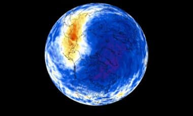
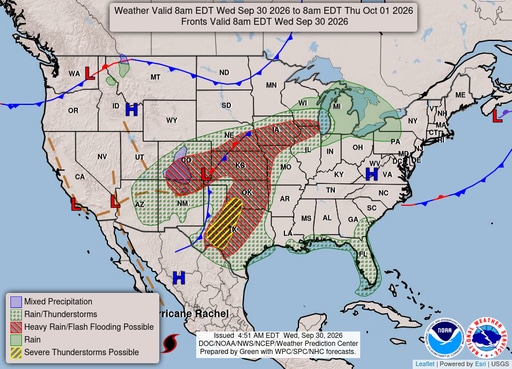
The snow is only a small part of a larger weather event affecting a wide section of the country. The storm is expected to bring heavy rainfall from the Southwest toward the central United States, with possible flooding from Arizona to Chicago.
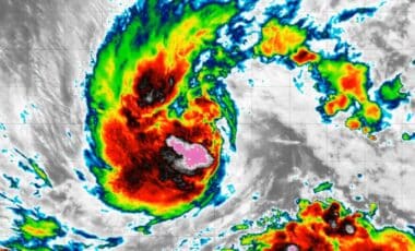
The system is partly linked to moisture from the remnants of Hurricane Polo, which has been affecting the western coast of Mexico. According to the National Weather Service, tropical moisture will combine with another storm system, creating several days of rainfall.
Meteorologists have warned that some areas could face a higher risk of flash flooding because parts of the Southwest have already experienced heavy rain in recent days.
Snow Levels Expected To Remain High
Forecasters are watching snow levels closely, as elevation will determine where winter conditions develop. The Weather Service in Denver said snow chances would increase early Thursday morning, October 1, as colder air moves into higher elevations.
Snow levels are expected to remain around 11,000 feet, limiting snowfall mainly to mountain areas. Further south, the Weather Service in Pueblo said snow levels could stay above 12,000 feet, with several inches possible across the highest peaks.
Drivers Warned About Possible Mountain Travel Issues
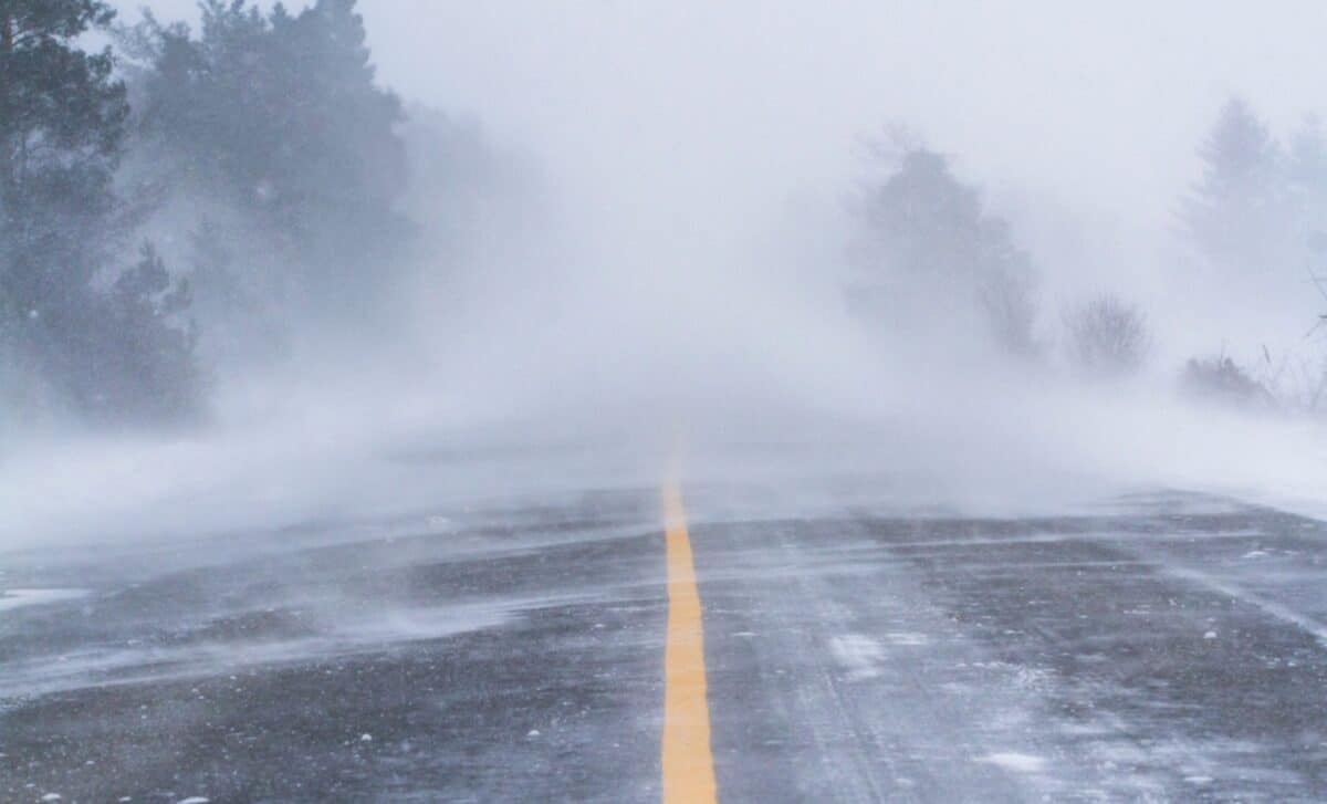
Although snowfall is expected mainly in elevated areas, some mountain roads could become more difficult to travel. Routes including Monarch Pass, Wolf Creek Pass and La Veta Pass could experience wet snow, which may freeze overnight and during early morning hours.
Drivers in affected areas are advised to monitor local forecasts and road conditions as temperatures drop.
Weather System Continues To Develop
The storm remains under observation as it moves across the United States. While most residents will experience rainfall rather than snow, the system highlights the rapid shift toward winter conditions in higher elevations and the potential risks linked to heavy precipitation.