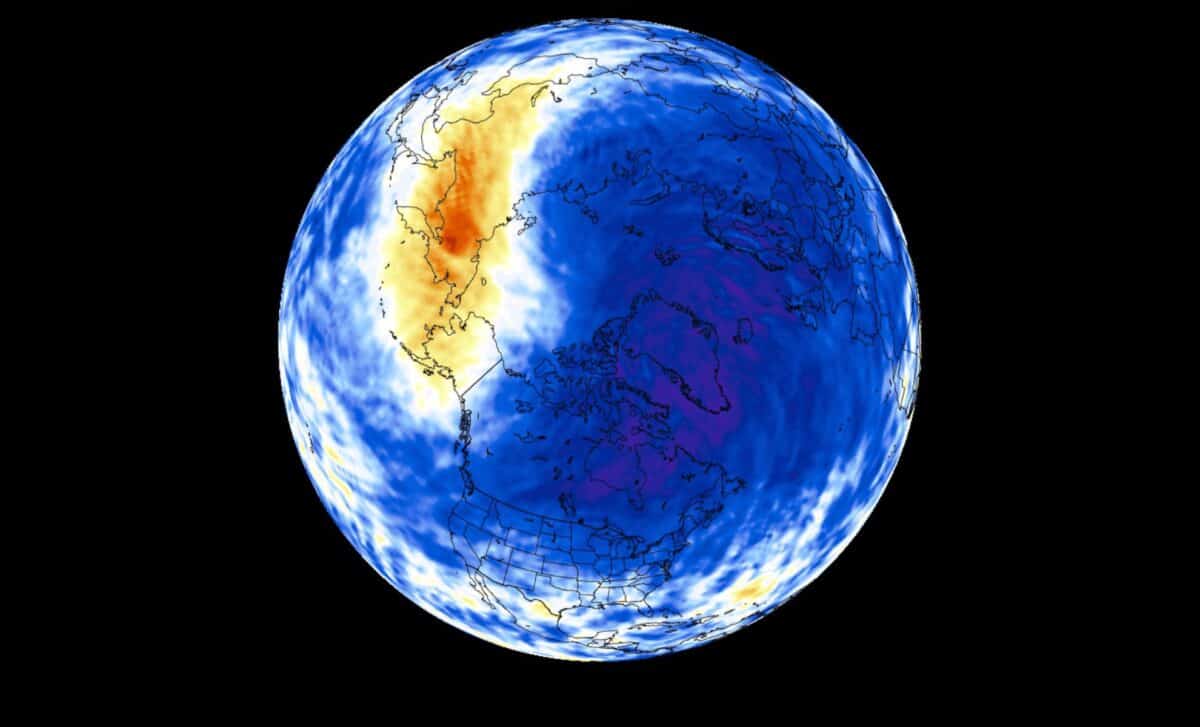
The polar vortex is a recurring feature of the winter atmosphere, but its strength and structure can influence how cold air moves across parts of the United States, Canada, and Europe. Forecast models indicate a strong start for the vortex, followed by signals of a possible slowdown during the middle of winter.
A Polar Vortex Begins Its Seasonal Development
The polar vortex forms each year as temperatures fall in the stratosphere above the Arctic. This cooling creates a low-pressure circulation that becomes stronger through autumn and winter. According to the National Weather Service, the polar vortex is a large area of cold air and low pressure surrounding the poles. During winter, it can expand and contribute to outbreaks of Arctic air moving toward lower latitudes.
The upper part of the vortex exists in the stratosphere, while the lower part extends into the troposphere, where most weather occurs. The stratospheric structure is generally more symmetrical, while the lower circulation is more affected by mountains, terrain, and large pressure systems.
Current data show the new winter vortex forming with a cold core and falling pressure over the Arctic region. Forecasts indicate that the circulation is becoming organized, with stronger winds developing around the polar area.
According to meteorologist Chad Merrill, cited by Newsweek, the polar vortex is only one factor in the winter forecast. He said that El Niño and the Pacific Decadal Oscillation are likely to have a stronger influence on the overall winter pattern.
El Niño May Influence Mid-Winter Polar Vortex Behavior
A strong El Niño is developing in the tropical Pacific, with ocean temperatures expected to reach levels associated with major events. According to the NOAA’s Climate Prediction Center, El Niño had a greater than 90 percent chance of becoming a very strong event during the autumn and winter period.
The relationship between El Niño and the polar vortex is linked to atmospheric waves that can travel upward from the lower atmosphere into the stratosphere. These waves can affect the strength and stability of the vortex.
According to research cited by Severe Weather Europe, strong El Niño events can be associated with a slowdown of stratospheric polar vortex winds. The article references studies examining how different El Niño strengths affect the winter atmosphere.
Forecast models for winter 2026/2027 show signals of a possible weakening trend in the polar vortex during January and February. A weaker vortex can become more disrupted, allowing cold air to move farther south in some situations.
A major disruption of the polar vortex can occur through a Sudden Stratospheric Warming event, when temperatures rise rapidly in the stratosphere and the circulation weakens. These events can sometimes influence surface weather patterns after a delay of several weeks.
According to NOAA research, the surface impacts of sudden stratospheric warming events vary from one event to another and depend on existing atmospheric conditions. Forecasters will continue monitoring the interaction between the developing El Niño, the stratosphere, and winter weather patterns as the season approaches.