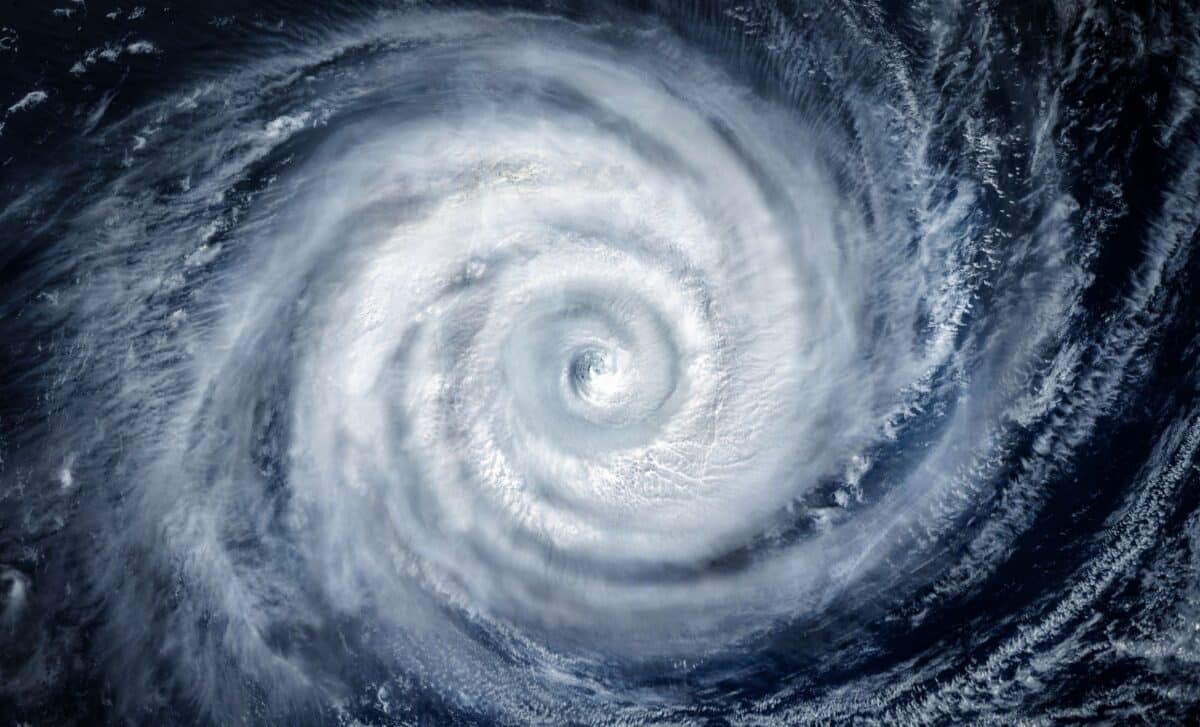
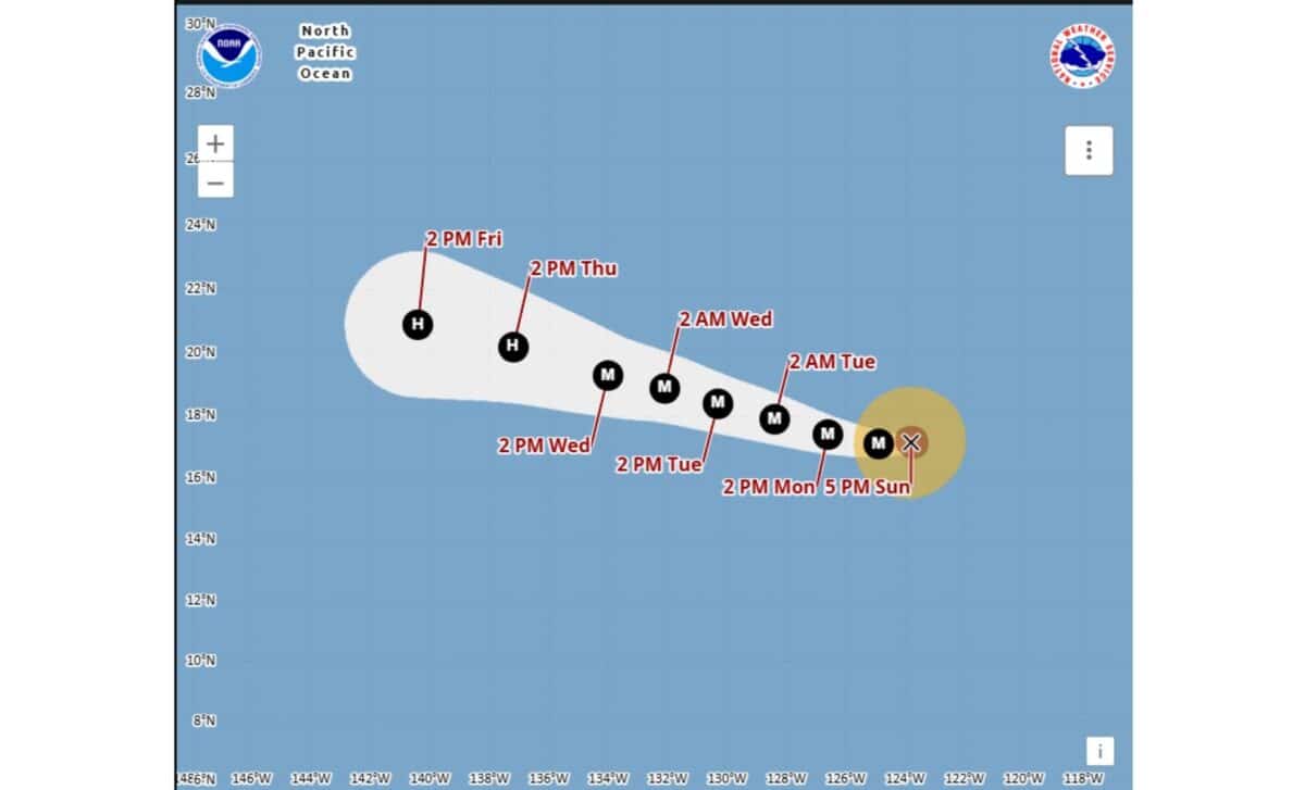
The system intensified from a Category 1 hurricane with maximum sustained winds of 80 mph to a major hurricane with winds of 125 mph. According to the U.S. National Hurricane Center in Miami, Karina was about 960 miles west-southwest of the southern tip of Mexico’s Baja California Peninsula on Sunday and was moving west at 9 mph.
Karina Strengthens Rapidly Over Warm Pacific Waters
Karina became a hurricane early Sunday after developing over warm waters well offshore. Its initial hurricane-strength winds reached 80 mph, putting the storm in Category 1 on the Saffir-Simpson scale. Within hours, the cyclone had intensified to Category 3, with maximum sustained winds of 125 mph. A major hurricane is defined as a Category 3 storm or higher, with sustained winds of at least 111 mph.
According to the Associated Press, citing the National Hurricane Center, meteorologists said some additional strengthening remained possible over the following day or so. Earlier forecasts had already indicated that steady or rapid strengthening was likely as Karina crossed the open Pacific.
The storm’s position also shifted as it continued westward. Earlier Sunday, reports placed Karina about 880 miles west-southwest of the southern tip of Baja California, before later updates put it about 960 miles away. Its forecast track continued to carry the center farther from the Mexican coast and deeper into the Pacific.
Forecasters did not issue coastal watches or warnings because the hurricane itself was expected to remain well offshore. The main effects on land were instead linked to ocean conditions generated by the storm.
Dangerous Surf Remains the Main Coastal Concern
Despite Karina’s distance from land, its circulation was producing swells capable of reaching parts of southwest Mexico and the Baja California Peninsula. According to the National Hurricane Center, those swells were expected to create dangerous surf and rip current conditions along stretches of coastline.
The center warned that the conditions could become life-threatening and advised people in affected areas to consult information from local weather offices. No direct landfall threat was identified in the forecasts provided Sunday.
Karina was not the only tropical system being monitored in the Pacific. Tropical Storm Lowell was located about 985 miles east-southeast of Hilo, Hawaii, with maximum sustained winds of 50 mph. It also posed no immediate threat to land.
Forecasters said Lowell could strengthen into a hurricane by Monday night or Tuesday. The two systems were developing at the same time in the Pacific, although both remained far from populated coastlines in the reports available Sunday.
The activity came as NOAA maintained its forecast for a below-average Atlantic hurricane season because of El Niño. The agency projected eight to 14 named storms in the Atlantic, including three to six hurricanes and one to three major hurricanes. Karina, however, was developing in the Pacific, where its immediate hazards remained centered on rough seas, surf and rip currents rather than a direct strike on land.