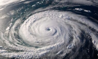
Tropical Storm Julio formed in the eastern Pacific Ocean on Tuesday, August 25, 2026, but forecasters said the system does not pose a threat to land. The storm developed southwest of Mexico’s Baja California peninsula and is expected to be absorbed by another tropical system.
The formation of Julio comes as several tropical systems are being monitored across the Pacific, including Tropical Storm Iselle to the north and Tropical Storm Lala in the Central Pacific. Weather officials are continuing to follow their movements while no coastal watches or warnings are in effect for Julio.
Julio Develops Southwest of Baja California Without Land Impacts
According to the National Hurricane Center in Miami, Tropical Storm Julio was located about 815 miles (1,312 kilometers) southwest of the southern tip of the Baja California peninsula when it formed. The storm had maximum sustained winds of 45 mph (72 kph) and was moving toward the north-northeast at 13 mph (20 kph).
The National Hurricane Center reported that Julio’s winds extended outward up to 160 miles (260 kilometers) from the center of the storm. The system had a minimum central pressure of 1003 millibars, according to the agency’s advisory issued Tuesday morning.
Forecasters expected Julio to strengthen slightly before being absorbed by the stronger Tropical Storm Iselle later the same day. The advisory stated that no hazards affecting land were expected from Julio, and there were no coastal watches or warnings in place.
Iselle was located about 660 miles (1,062 kilometers) west of the Baja California peninsula and had maximum sustained winds of 70 mph (113 kph), according to the National Hurricane Center. The two systems were being monitored as part of the ongoing Pacific hurricane season.
Other Pacific Storms Remain Under Observation
While Julio was not expected to affect coastal areas, other tropical systems continued to move across the Pacific. Tropical Storm Lala remained active in the Central Pacific with winds of 50 mph (80 kph), though forecasters said it was not threatening land.
According to the Associated Press, Lala had earlier reached hurricane strength and its outer bands affected Hawaii, causing destructive flooding. The storm’s previous impacts brought attention to the continued monitoring of tropical activity in the region.
Another system, Moke, was no longer classified as a tropical cyclone after passing near Hawaii as a tropical storm, according to the National Hurricane Center. The agency continues to provide updates on active systems as conditions change across the Pacific basin.
The development of Julio highlights the number of tropical systems that can form during the Pacific hurricane season. In this case, forecasters said the storm’s location and expected movement kept it away from populated coastal areas. With Julio forecast to merge with Iselle, attention remained focused on tracking the remaining active storms and providing updated information as new advisories are released.