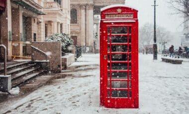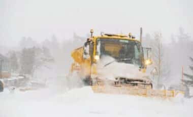
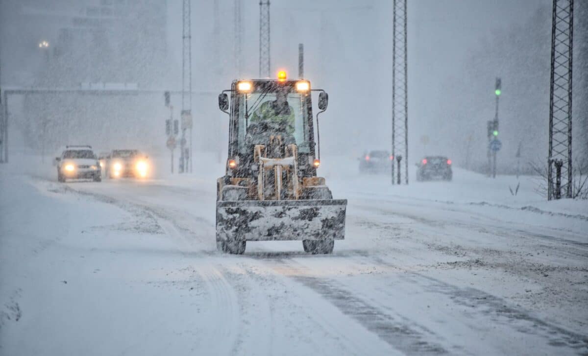
Claims of widespread snow arriving in the UK this autumn and winter have been circulating, with El Niño and the polar vortex cited as possible causes. Weather experts say the reality is more complex, and there is no certainty that the UK will experience a major cold spell.
What Is the Polar Vortex?
For the rest of autumn, El Niño is more likely to favour mild, wet and potentially stormy conditions in the UK. Later in winter, the balance could shift towards colder weather, but that outcome remains uncertain.
The polar vortex is a band of strong westerly winds that forms around the North Pole during winter. It sits in the stratosphere, roughly 10 to 30 miles (16 to 48 kilometres) above the Earth’s surface, rather than in the part of the atmosphere where everyday weather occurs.
The vortex develops as air over the Arctic becomes extremely cold and dense. The contrast between that air and warmer air farther south helps create powerful winds around the Pole, explains BBC.
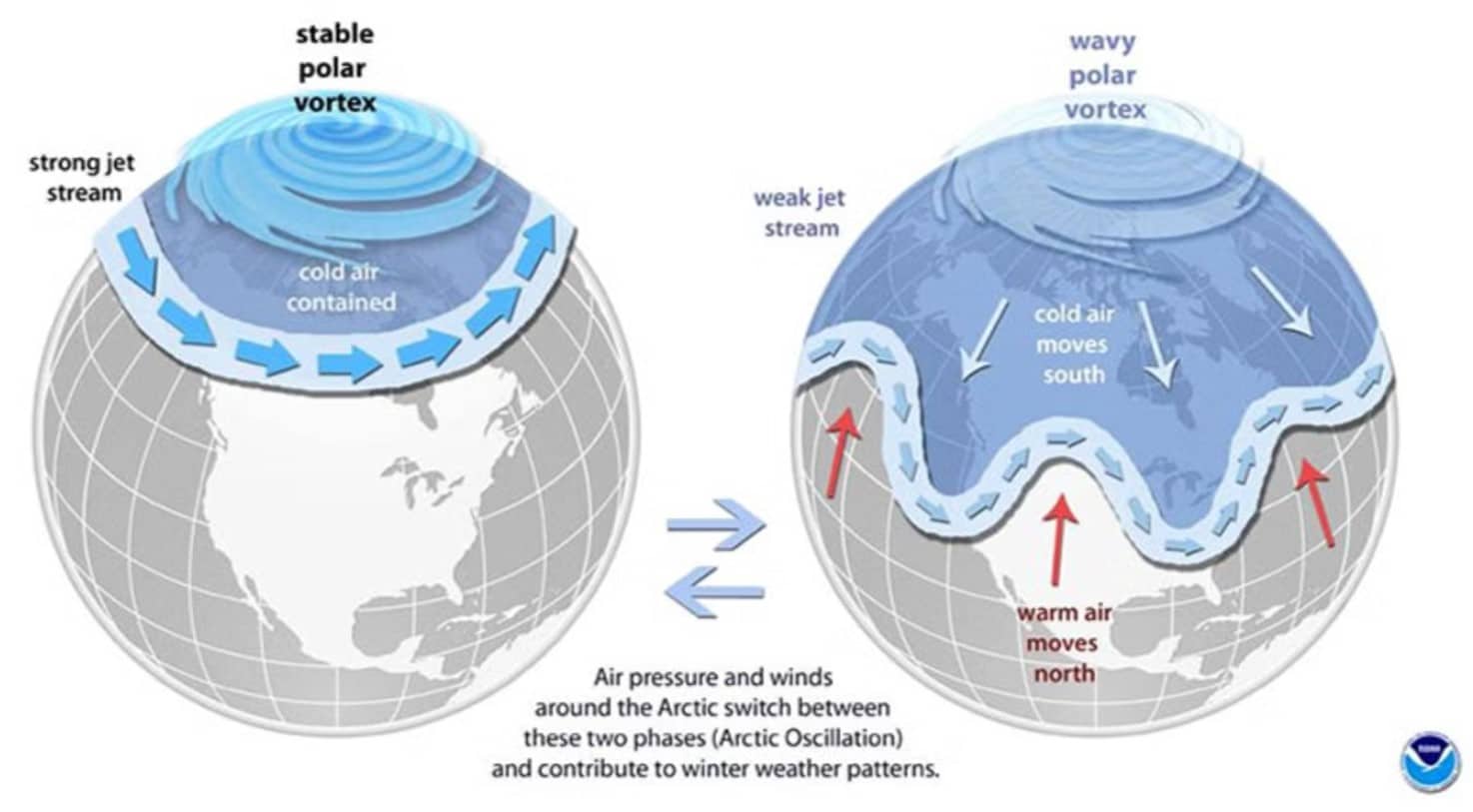
When the polar vortex is strong, it tends to support a strong jet stream lower in the atmosphere. This can help direct areas of low pressure from west to east, bringing milder Atlantic air, wind and rain to the UK.
A Disrupted Polar Vortex Can Change the Weather
The polar vortex can sometimes weaken, shift position or even reverse direction. When this happens, changes in the upper atmosphere can gradually influence the jet stream. The process can take days or weeks and may result in a more meandering jet stream.
Such a pattern can allow colder air to move southwards, potentially bringing northerly or easterly winds to the UK. A disrupted polar vortex does not automatically result in snow or freezing temperatures at ground level. Cold weather can also occur without a major polar vortex disruption.
How Does El Niño Affect the UK?
El Niño is a naturally occurring climate phenomenon involving warmer-than-usual surface waters in parts of the Pacific Ocean. The additional heat released into the atmosphere can alter atmospheric circulation and influence weather patterns around the world.
Its influence on the UK varies according to the time of year. During autumn, El Niño tends to increase the likelihood of wet, mild and stormy weather in Britain, which is broadly consistent with current seasonal forecasts.
Later in winter, atmospheric waves associated with El Niño can travel upwards and potentially disturb the polar vortex. That could increase the chances of colder weather in parts of the Northern Hemisphere, but the connection is not straightforward.
Previous El Niño Winters Have Produced Different Results
Past winters show why El Niño cannot be used as a simple predictor of UK snow. The winter of 2009-10 coincided with an El Niño and was exceptionally cold, with widespread snow and disruption.
The winter of 2006-07, also associated with El Niño, was very different and was unusually mild. The UK’s Beast from the East in 2018 occurred during a La Niña phase, which is broadly the opposite phase of the El Niño-Southern Oscillation.
These examples show that the presence of El Niño alone does not determine whether Britain will experience significant snowfall.
Snow Is Not Currently Guaranteed
Although El Niño could contribute to atmospheric changes later in the winter, there is no reliable indication yet of a widespread UK snow event. A change in the polar vortex would also need to interact with the jet stream and other atmospheric patterns in a way that directs cold air towards Britain.
Current forecasts suggest that significant cold or snow is not expected in the immediate future. The weather picture could change as winter approaches, particularly because forecasts become less certain further into the future.
What Could Happen Later This Winter?
El Niño may raise the possibility of colder conditions later in the season if it contributes to disruption of the polar vortex.
Yet several links in that chain are uncertain. A disrupted vortex does not always descend far enough through the atmosphere to alter weather at the surface, and even a change in the jet stream does not guarantee that cold air will reach the UK.
For now, the most likely message is one of uncertainty rather than an approaching snowstorm. Autumn is expected to lean towards milder and wetter conditions, while the possibility of colder weather later in winter will become clearer as forecasts develop.